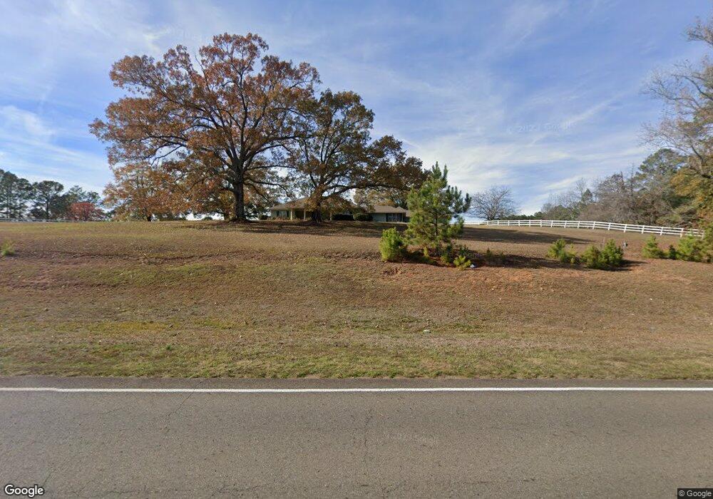
2540 Highway 820 Choudrant, LA 71227
Estimated Value: $423,000 - $789,000
Studio
--
Bath
4,907
Sq Ft
$117/Sq Ft
Est. Value
About This Home
This home is located at 2540 Highway 820, Choudrant, LA 71227 and is currently estimated at $574,044, approximately $116 per square foot. 2540 Highway 820 is a home located in Lincoln Parish with nearby schools including Choudrant Elementary School, Choudrant High School, and Ruston Junior High School.
Ownership History
Date
Name
Owned For
Owner Type
Purchase Details
Closed on
Oct 29, 2015
Sold by
Giles Gertha Lea Leslie and Giles Robert W
Bought by
Starks Michael Anthony and Starks Stacy Lancaster
Current Estimated Value
Home Financials for this Owner
Home Financials are based on the most recent Mortgage that was taken out on this home.
Original Mortgage
$295,740
Outstanding Balance
$230,278
Interest Rate
3.9%
Mortgage Type
New Conventional
Estimated Equity
$343,766
Create a Home Valuation Report for This Property
The Home Valuation Report is an in-depth analysis detailing your home's value as well as a comparison with similar homes in the area
Purchase History
| Date | Buyer | Sale Price | Title Company |
|---|---|---|---|
| Starks Michael Anthony | $328,600 | None Available |
Source: Public Records
Mortgage History
| Date | Status | Borrower | Loan Amount |
|---|---|---|---|
| Open | Starks Michael Anthony | $295,740 |
Source: Public Records
Tax History
| Year | Tax Paid | Tax Assessment Tax Assessment Total Assessment is a certain percentage of the fair market value that is determined by local assessors to be the total taxable value of land and additions on the property. | Land | Improvement |
|---|---|---|---|---|
| 2025 | $3,740 | $47,479 | $1,200 | $46,279 |
| 2024 | $3,740 | $47,480 | $1,200 | $46,280 |
| 2023 | $3,202 | $38,931 | $1,650 | $37,281 |
| 2022 | $3,180 | $38,931 | $1,650 | $37,281 |
| 2021 | $3,129 | $38,930 | $1,650 | $37,280 |
| 2020 | $2,819 | $34,909 | $1,650 | $33,259 |
| 2019 | $2,859 | $34,909 | $1,650 | $33,259 |
| 2018 | $2,861 | $34,909 | $1,650 | $33,259 |
| 2017 | $2,868 | $34,909 | $1,650 | $33,259 |
| 2016 | $2,927 | $0 | $0 | $0 |
| 2015 | $3,585 | $39,724 | $1,607 | $38,117 |
| 2013 | $3,623 | $39,563 | $1,446 | $38,117 |
Source: Public Records
Map
Nearby Homes
- 165 Loblolly Ln
- 219 Lamar Rd
- 220 Crestview Dr
- 0 N Depot St
- 106 Tes Dr
- 120 Lanes End Dr
- 448 Loblolly Ln
- 00 Cheatwood Rd
- 0 Spillers Rd
- 634 Cheatwood Rd
- 500 Hogan Rd
- 120 Douglas Ln
- 1950 Louisiana 821
- 201 Vintage Ln
- 510 Louisiana 556
- 00 Par Road 43
- 171 Roach Rd
- 0 Oak Tree Rd
- 0A Shortstraw R Par Road 404
- 0C SHortstraw Par Road 404
- 138 Shangrila Dr
- 156 Shangrila Dr
- 2436 Highway 820
- 2443 Highway 820
- 193 Shangrila Dr
- 2582 Highway 820
- 223 Shangrila Dr
- 257 Shangrila Dr
- 2354 Highway 820
- 236 Emory Rd
- 121 Emory Rd
- 156 Emory Rd
- 271 Shangrila Dr
- 2643 Highway 820
- 254 Emory Rd
- 193 Emory Rd
- 183 Emory Rd
- 163 Emory Rd
- 175 Emory Rd
- 225 Emory Rd
Your Personal Tour Guide
Ask me questions while you tour the home.