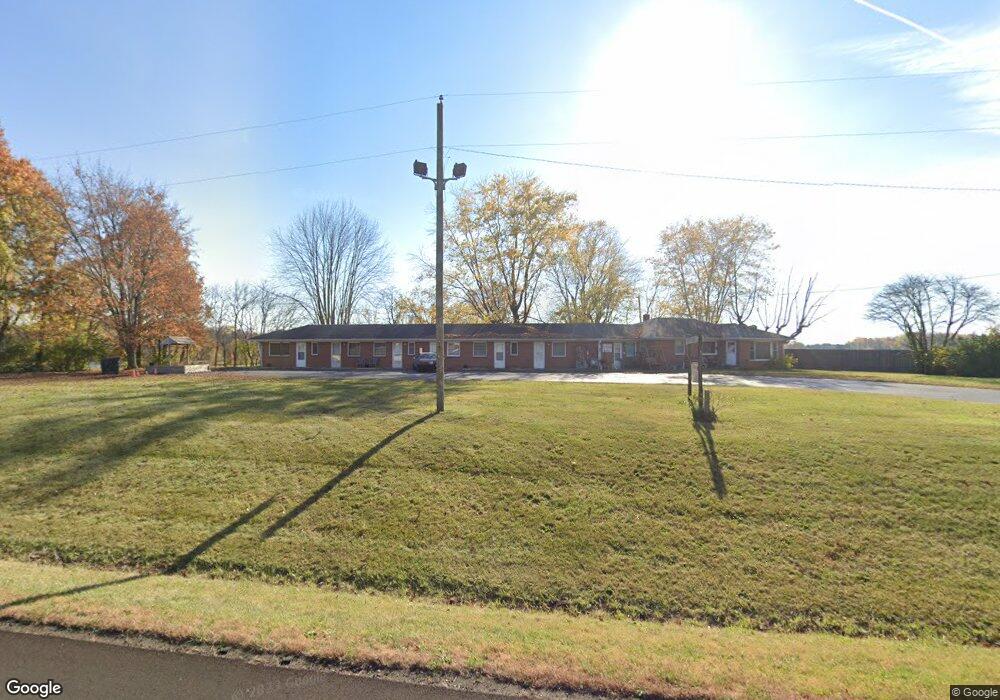
2540 S Us Highway 31 Franklin, IN 46131
Estimated Value: $298,339 - $489,000
--
Bed
--
Bath
1,302
Sq Ft
$299/Sq Ft
Est. Value
About This Home
This home is located at 2540 S Us Highway 31, Franklin, IN 46131 and is currently estimated at $389,835, approximately $299 per square foot. 2540 S Us Highway 31 is a home located in Johnson County with nearby schools including Webb Elementary School, Franklin Community Middle School, and Custer Baker Intermediate School.
Ownership History
Date
Name
Owned For
Owner Type
Purchase Details
Closed on
Dec 30, 2010
Sold by
Dunns Enterprise Llc
Bought by
Sleep N Time Motel Llc
Current Estimated Value
Purchase Details
Closed on
Mar 20, 2009
Sold by
Dunn Lynny and Dunn Naomi
Bought by
Dunns Enterprise Llc
Purchase Details
Closed on
Aug 16, 2007
Sold by
Federal Home Loan Mortgage Corporation
Bought by
Abn Amro Mortgage Group Inc
Purchase Details
Closed on
Jul 27, 2007
Sold by
Abn Amro Mortgage Group Inc
Bought by
Dunn Lonny and Dunn Naomi
Purchase Details
Closed on
Jan 18, 2007
Sold by
Leonard Dennis
Bought by
Federal Home Loan Mortgage Corporation
Create a Home Valuation Report for This Property
The Home Valuation Report is an in-depth analysis detailing your home's value as well as a comparison with similar homes in the area
Home Values in the Area
Average Home Value in this Area
Purchase History
| Date | Buyer | Sale Price | Title Company |
|---|---|---|---|
| Sleep N Time Motel Llc | -- | None Available | |
| Dunns Enterprise Llc | -- | None Available | |
| Abn Amro Mortgage Group Inc | -- | Investors Titlecorp | |
| Dunn Lonny | -- | Investors Titlecorp | |
| Federal Home Loan Mortgage Corporation | $136,900 | None Available |
Source: Public Records
Tax History Compared to Growth
Tax History
| Year | Tax Paid | Tax Assessment Tax Assessment Total Assessment is a certain percentage of the fair market value that is determined by local assessors to be the total taxable value of land and additions on the property. | Land | Improvement |
|---|---|---|---|---|
| 2025 | $3,457 | $302,500 | $110,200 | $192,300 |
| 2024 | $3,457 | $273,500 | $110,200 | $163,300 |
| 2023 | $2,101 | $185,600 | $69,600 | $116,000 |
| 2022 | $2,409 | $180,200 | $69,600 | $110,600 |
| 2021 | $2,411 | $171,200 | $69,600 | $101,600 |
| 2020 | $2,457 | $171,200 | $69,600 | $101,600 |
| 2019 | $2,279 | $167,600 | $66,000 | $101,600 |
| 2018 | $3,086 | $216,300 | $111,000 | $105,300 |
| 2017 | $3,035 | $215,000 | $111,000 | $104,000 |
| 2016 | $3,223 | $215,200 | $111,000 | $104,200 |
| 2014 | $2,704 | $213,500 | $111,000 | $102,500 |
| 2013 | $2,704 | $201,700 | $99,200 | $102,500 |
Source: Public Records
Map
Nearby Homes
- 2580 Stonybrook Ln
- 2310 Fox Dr
- 2073 S Us Highway 31
- 150 E South St
- 1980 S 550 E
- 1175 S Old Us Highway 31
- 3151 E 150 S
- 863 S 450 E
- 4363 E State Road 252
- 4866 E 500 S
- E 500 S
- 6516 N U S Highway 31
- 1532 Williamsburg Ln
- Ironwood Plan at Bluffs at Young's Creek
- Juniper Plan at Bluffs at Young's Creek
- Norway Plan at Bluffs at Young's Creek
- Bradford Plan at Bluffs at Young's Creek
- Ashton Plan at Bluffs at Young's Creek
- Aspen II Plan at Bluffs at Young's Creek
- Palmetto Plan at Bluffs at Young's Creek
- 2550 S Us Highway 31
- 2528 S Us Highway 31
- 2550 S U S 31 Rd
- 4519 E 250 S
- 4569 E 250 S
- 4519 E 250 S
- 2545 S Us Highway 31
- 2575 S Us Highway 31
- 4593 E 250 S
- 2499 S Us Highway 31
- 2655 S Us Highway 31
- 2654 S Us Highway 31
- 4491 E 250 S
- 4649 E 250 S
- 2600 S Us Highway 31
- 4673 E 250 S
- 4450 E 250 S
- 4401 E 250 S
- 2747 S Us Highway 31
- 2450 S Us Highway 31