25404 Middle Pike Waynesfield, OH 45896
Estimated Value: $132,000 - $207,000
3
Beds
1
Bath
1,456
Sq Ft
$111/Sq Ft
Est. Value
About This Home
This home is located at 25404 Middle Pike, Waynesfield, OH 45896 and is currently estimated at $161,306, approximately $110 per square foot. 25404 Middle Pike is a home located in Auglaize County with nearby schools including Waynesfield-Goshen Local Elementary School and Waynesfield-Goshen Local High School.
Ownership History
Date
Name
Owned For
Owner Type
Purchase Details
Closed on
Feb 28, 2000
Bought by
Riemesch Mark J
Current Estimated Value
Purchase Details
Closed on
Apr 9, 1999
Sold by
Stough Donald M
Bought by
Highlawn Farms Family
Purchase Details
Closed on
Jan 26, 1998
Sold by
Stough Donald M
Bought by
Stough Donald M
Create a Home Valuation Report for This Property
The Home Valuation Report is an in-depth analysis detailing your home's value as well as a comparison with similar homes in the area
Home Values in the Area
Average Home Value in this Area
Purchase History
| Date | Buyer | Sale Price | Title Company |
|---|---|---|---|
| Riemesch Mark J | $85,000 | -- | |
| Highlawn Farms Family | $257,500 | -- | |
| Stough Donald M | -- | -- |
Source: Public Records
Tax History Compared to Growth
Tax History
| Year | Tax Paid | Tax Assessment Tax Assessment Total Assessment is a certain percentage of the fair market value that is determined by local assessors to be the total taxable value of land and additions on the property. | Land | Improvement |
|---|---|---|---|---|
| 2024 | $2,058 | $33,320 | $8,540 | $24,780 |
| 2023 | $1,203 | $33,320 | $8,540 | $24,780 |
| 2022 | $1,200 | $28,490 | $7,760 | $20,730 |
| 2021 | $1,046 | $25,050 | $7,760 | $17,290 |
| 2020 | $532 | $25,057 | $7,763 | $17,294 |
| 2019 | $885 | $21,683 | $6,696 | $14,987 |
| 2018 | $892 | $21,683 | $6,696 | $14,987 |
| 2017 | $870 | $21,683 | $6,696 | $14,987 |
| 2016 | $841 | $21,589 | $6,374 | $15,215 |
| 2015 | $841 | $21,589 | $6,374 | $15,215 |
| 2014 | $842 | $21,589 | $6,374 | $15,215 |
| 2013 | $927 | $21,589 | $6,374 | $15,215 |
Source: Public Records
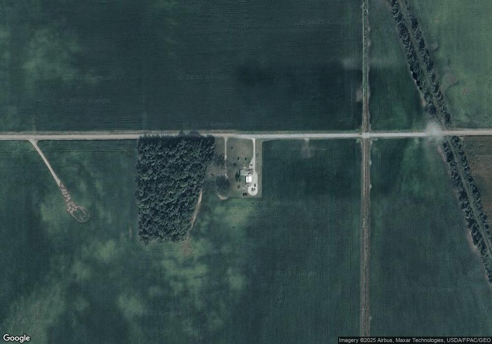
Map
Nearby Homes
- 25836 Ohio 67
- 202 W Mulberry St
- 105 Guthrie St
- 25376 Fairmount Rd
- 18544 Santa Fe Line Rd
- 11352 N Township Road 88
- 12102 Shannon Dr Unit 89
- 12015 Holly Dr
- 11579 Cooper Ave
- 11161 Macalpine Way
- 11385 Horseshoe Channel Dr
- 22275 Buckland Holden Rd
- 11546 Horseshoe Channel Dr
- 11526 Horseshoe Channel Dr
- 20630 State Route 67
- 11638 Channel View Dr
- 13501 Eagle Path
- 11524 Powhatan Path
- 11496 Powhatan Path
- 11900 Duff Rd Unit 6
- 15118 Waynesfield Rd
- 25729 Middle Pike
- 15198 Waynesfield Rd
- 15500 Waynesfield Rd
- 0 Waynesfield Rd
- 14703 Waynesfield Rd
- 24753 Middle Pike
- 26055 Middle Pike
- 24598 Middle Pike
- 15796 Waynesfield Rd
- 14910 State Route 196
- 14754 State Route 196
- 14698 Ohio 196
- 14698 State Route 196
- 25353 State Route 33
- 15024 State Route 196
- 25434 State Route 33