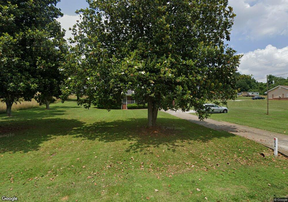
2541 E Cherokee Dr Unit Lot C Woodstock, GA 30188
Union Hill NeighborhoodEstimated Value: $425,614 - $577,000
3
Beds
2
Baths
1,913
Sq Ft
$270/Sq Ft
Est. Value
About This Home
This home is located at 2541 E Cherokee Dr Unit Lot C, Woodstock, GA 30188 and is currently estimated at $516,404, approximately $269 per square foot. 2541 E Cherokee Dr Unit Lot C is a home located in Cherokee County with nearby schools including Hickory Flat Elementary School, Rusk Middle School, and Sequoyah High School.
Ownership History
Date
Name
Owned For
Owner Type
Purchase Details
Closed on
Apr 22, 2025
Sold by
Place Property Management Llc
Bought by
Place Services Inc
Current Estimated Value
Purchase Details
Closed on
Apr 16, 2025
Sold by
First Horizon Bank
Bought by
Place Property Management Llc
Purchase Details
Closed on
Oct 30, 2019
Sold by
Johnson James M
Bought by
Place Property Management Llc
Create a Home Valuation Report for This Property
The Home Valuation Report is an in-depth analysis detailing your home's value as well as a comparison with similar homes in the area
Home Values in the Area
Average Home Value in this Area
Purchase History
| Date | Buyer | Sale Price | Title Company |
|---|---|---|---|
| Place Services Inc | -- | -- | |
| Place Property Management Llc | -- | -- | |
| Place Property Management Llc | $192,280 | -- |
Source: Public Records
Tax History Compared to Growth
Tax History
| Year | Tax Paid | Tax Assessment Tax Assessment Total Assessment is a certain percentage of the fair market value that is determined by local assessors to be the total taxable value of land and additions on the property. | Land | Improvement |
|---|---|---|---|---|
| 2024 | $4,886 | $163,812 | $34,480 | $129,332 |
| 2023 | $4,829 | $159,892 | $28,720 | $131,172 |
| 2022 | $3,295 | $107,772 | $28,720 | $79,052 |
| 2021 | $2,110 | $84,092 | $25,280 | $58,812 |
| 2020 | $2,519 | $75,292 | $23,000 | $52,292 |
| 2019 | $1,247 | $49,600 | $23,000 | $26,600 |
| 2018 | $1,226 | $48,440 | $23,000 | $25,440 |
| 2017 | $1,194 | $122,700 | $23,000 | $26,080 |
| 2016 | $1,194 | $116,000 | $22,000 | $24,400 |
| 2015 | $1,175 | $113,100 | $22,000 | $23,240 |
| 2014 | $1,075 | $103,300 | $18,480 | $22,840 |
Source: Public Records
Map
Nearby Homes
- 316 Westfield Bend
- 315 Westfield Bend
- 319 Westfield Bend
- 219 Orchards Cir
- 268 Orchards Cir
- 324 Shade Tree Cir
- 274 Orchards Cir
- 123 Owens Farm Ln Unit 12
- 108 Autumn Glen Dr
- 327 Cherokee Station Cir
- 324 Cherokee Station Cir
- 328 Shade Tree Cir
- 354 Cherokee Station Cir
- 354 Cherokee Station Cir
- 233 Hickory Chase
- 108 Hickory Run
- 405 Timbercreek Ct
- 212 Birchwood Row
- 160 Fieldbrook Crossing
- 2541 E Cherokee Dr
- 2541 E Cherokee Dr
- 4400 Gabriel Blvd
- 2509 E Cherokee Dr
- 502 Azalea Park Dr
- 500 Azalea Park Dr
- 2537 E Cherokee Dr
- 2537 E Cherokee Dr Unit Lot B
- 0 Azalea Park Dr
- 229 Windsor Park Dr
- 225 Windsor Park Dr
- 503 Azalea Park Dr
- 505 Azalea Park Dr
- 2550 E Cherokee Dr
- 0 Pinehaven Ln Unit 8311534
- 0 Pinehaven Ln
- 2542 E Cherokee Dr
- 221 Windsor Park Dr
- 219 Windsor Park Dr
- 2527 E Cherokee Dr
