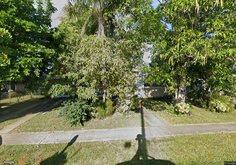
2541 Starlite Ln Port Charlotte, FL 33952
Estimated Value: $171,000 - $216,000
2
Beds
2
Baths
1,183
Sq Ft
$167/Sq Ft
Est. Value
About This Home
This home is located at 2541 Starlite Ln, Port Charlotte, FL 33952 and is currently estimated at $197,188, approximately $166 per square foot. 2541 Starlite Ln is a home located in Charlotte County with nearby schools including Neil Armstrong Elementary School, Port Charlotte Middle School, and Charlotte High School.
Ownership History
Date
Name
Owned For
Owner Type
Purchase Details
Closed on
Jan 20, 2000
Sold by
Ingles James
Bought by
Davis Henry and Davis Enid
Current Estimated Value
Home Financials for this Owner
Home Financials are based on the most recent Mortgage that was taken out on this home.
Original Mortgage
$52,965
Interest Rate
7.87%
Mortgage Type
FHA
Purchase Details
Closed on
Nov 13, 1998
Sold by
Compton Terry
Bought by
Ingles James
Purchase Details
Closed on
Apr 30, 1996
Sold by
Wilson Rose C
Bought by
Ingles James
Create a Home Valuation Report for This Property
The Home Valuation Report is an in-depth analysis detailing your home's value as well as a comparison with similar homes in the area
Home Values in the Area
Average Home Value in this Area
Purchase History
| Date | Buyer | Sale Price | Title Company |
|---|---|---|---|
| Davis Henry | $53,000 | -- | |
| Ingles James | -- | -- | |
| Ingles James | -- | -- |
Source: Public Records
Mortgage History
| Date | Status | Borrower | Loan Amount |
|---|---|---|---|
| Open | Ingles James | $56,426 | |
| Closed | Davis Henry | $52,965 |
Source: Public Records
Tax History Compared to Growth
Tax History
| Year | Tax Paid | Tax Assessment Tax Assessment Total Assessment is a certain percentage of the fair market value that is determined by local assessors to be the total taxable value of land and additions on the property. | Land | Improvement |
|---|---|---|---|---|
| 2024 | $1,160 | $59,538 | -- | -- |
| 2023 | $1,160 | $57,804 | $0 | $0 |
| 2022 | $1,111 | $56,120 | $0 | $0 |
| 2021 | $1,107 | $54,485 | $0 | $0 |
| 2020 | $1,074 | $53,733 | $0 | $0 |
| 2019 | $1,008 | $52,525 | $0 | $0 |
| 2018 | $930 | $51,546 | $0 | $0 |
| 2017 | $924 | $50,486 | $0 | $0 |
| 2016 | $914 | $49,448 | $0 | $0 |
| 2015 | $891 | $49,104 | $0 | $0 |
| 2014 | $866 | $48,714 | $0 | $0 |
Source: Public Records
Map
Nearby Homes
- 22247 Augusta Ave
- 21904 Beverly Ave
- 22201 Olean Blvd
- 22011 Catherine Ave
- 22217 Olean Blvd
- 22198 Felton Ave
- 2368 Starlite Ln
- 22147 Catherine Ave
- 22194 Catherine Ave
- 22342 Augusta Ave
- 21962 Cellini Ave
- 2309 Conway Blvd
- 21536 Holdern Ave
- 22167 Marshall Ave
- 22220 & 22228 Lockport Ave
- 22348 Olean Blvd
- 21899 Cellini Ave
- 21448 Kenyon Ave
- 22237 Lockport Ave
- 2199 Hariet St
- 2549 Starlite Ln
- 2533 Starlite Ln
- 22041 Felton Ave
- 22031 Felton Ave
- 22049 Felton Ave
- 2557 Starlite Ln
- 2525 Starlite Ln
- 2532 Starlite Ln
- 2540 Starlite Ln
- 22025 Felton Ave
- 22057 Felton Ave
- 2524 Starlite Ln
- 2517 Lane
- 2565 Starlite Ln
- 2517 Starlite Ln
- 2516 Starlite Ln
- 22017 Felton Ave
- 22040 Felton Ave
- 22065 Felton Ave
- 2556 Starlite Ln