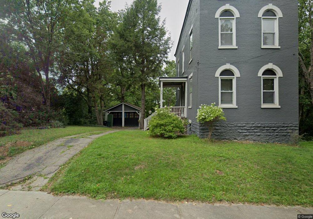
2543 Bartlett St Cincinnati, OH 45214
South Fairmount NeighborhoodEstimated Value: $97,123 - $140,000
3
Beds
2
Baths
1,216
Sq Ft
$93/Sq Ft
Est. Value
About This Home
This home is located at 2543 Bartlett St, Cincinnati, OH 45214 and is currently estimated at $113,281, approximately $93 per square foot. 2543 Bartlett St is a home located in Hamilton County with nearby schools including Ethel M. Taylor Academy, Robert A. Taft Information Technology High School, and Gilbert A. Dater High School.
Ownership History
Date
Name
Owned For
Owner Type
Purchase Details
Closed on
Aug 14, 2004
Sold by
Sult Jennifer B and Kingsley Aaron
Bought by
Womelsdorf Samuel W
Current Estimated Value
Purchase Details
Closed on
May 26, 2000
Sold by
Watson Iva M
Bought by
Womelsdorf Samuel W and Womelsdorf Jennifer S
Home Financials for this Owner
Home Financials are based on the most recent Mortgage that was taken out on this home.
Original Mortgage
$53,350
Interest Rate
8.18%
Create a Home Valuation Report for This Property
The Home Valuation Report is an in-depth analysis detailing your home's value as well as a comparison with similar homes in the area
Home Values in the Area
Average Home Value in this Area
Purchase History
| Date | Buyer | Sale Price | Title Company |
|---|---|---|---|
| Womelsdorf Samuel W | -- | -- | |
| Womelsdorf Samuel W | $55,000 | -- |
Source: Public Records
Mortgage History
| Date | Status | Borrower | Loan Amount |
|---|---|---|---|
| Previous Owner | Womelsdorf Samuel W | $53,350 |
Source: Public Records
Tax History
| Year | Tax Paid | Tax Assessment Tax Assessment Total Assessment is a certain percentage of the fair market value that is determined by local assessors to be the total taxable value of land and additions on the property. | Land | Improvement |
|---|---|---|---|---|
| 2025 | $1,185 | $18,043 | $4,386 | $13,657 |
| 2023 | $1,176 | $18,043 | $4,386 | $13,657 |
| 2022 | $652 | $8,488 | $3,444 | $5,044 |
| 2021 | $608 | $8,488 | $3,444 | $5,044 |
| 2020 | $623 | $8,488 | $3,444 | $5,044 |
| 2019 | $676 | $8,488 | $3,444 | $5,044 |
| 2018 | $677 | $8,488 | $3,444 | $5,044 |
| 2017 | $642 | $8,488 | $3,444 | $5,044 |
| 2016 | $785 | $10,392 | $4,473 | $5,919 |
| 2015 | $712 | $10,392 | $4,473 | $5,919 |
| 2014 | $716 | $10,392 | $4,473 | $5,919 |
| 2013 | $739 | $10,602 | $4,564 | $6,038 |
Source: Public Records
Map
Nearby Homes
- 1793 Baltimore Ave
- 2568 Trevor Place
- 2594 Seegar Ave
- 1781 Baltimore Ave
- 1854 Knox St
- 1859 Baltimore Ave
- 1808 Carll St
- 1797 Denham St
- 1674 Baltimore Ave
- 2658 Linden St
- 2656 Linden St
- 2654 Linden St
- 2652 Linden St
- 2650 Linden St
- 1723 Montrose St
- 1712 Queen City Ave
- 1637 Waverly Ave
- 1646 Pulte St
- 1879 Biegler St
- 1875 Biegler St
- 2549 Bartlett St
- 2531 Bartlett St
- 2551 Bartlett St
- 2555 Bartlett St
- 2534 Bartlett St
- 2527 Bartlett St
- 2532 Bartlett St
- 2552 Bartlett St
- 2554 Bartlett St
- 2530 Bartlett St
- 1836 Vinton St
- 2528 Bartlett St
- 1838 Vinton St
- 2545 Seegar Ave
- 2549 Seegar Ave
- 2553 Seegar Ave
- 2516 Bartlett St
- 2521 Seegar Ave
- 2537 Luckey Ave
- 2512 Bartlett St
Your Personal Tour Guide
Ask me questions while you tour the home.