Estimated Value: $13,071 - $84,000
2
Beds
--
Bath
480
Sq Ft
$80/Sq Ft
Est. Value
About This Home
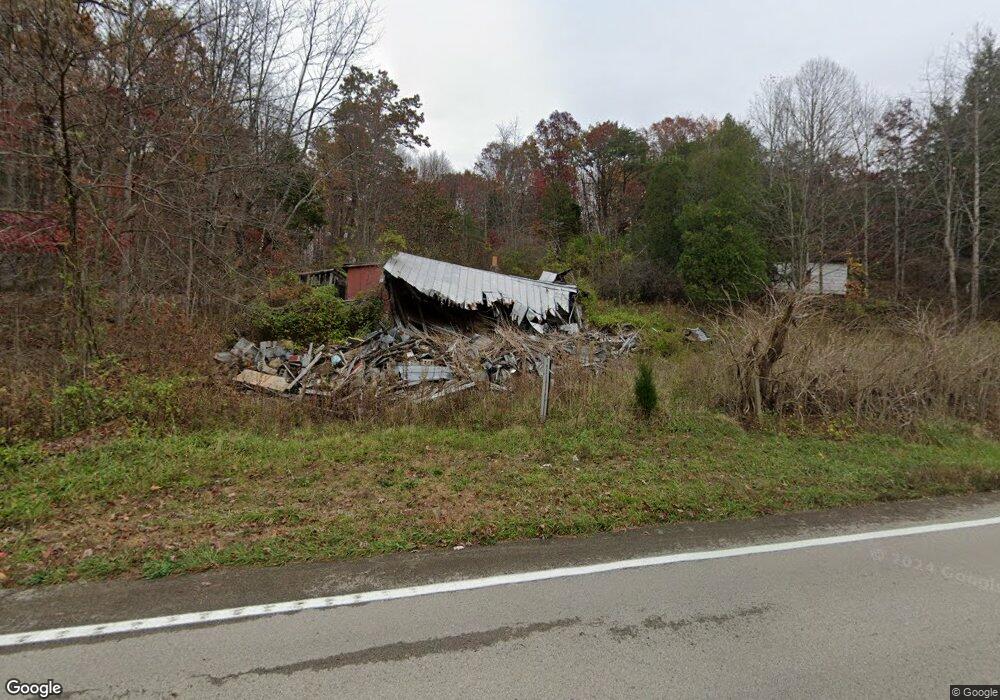
This home is located at 25432 State Route 125, Otway, OH 45657 and is currently estimated at $38,357, approximately $79 per square foot. 25432 State Route 125 is a home located in Adams County with nearby schools including West Union Elementary School and West Union High School.
Ownership History
Date
Name
Owned For
Owner Type
Purchase Details
Closed on
Dec 27, 2019
Sold by
Huggins Damien and Huggins Kathryn
Bought by
Ginn Mark Kevin
Current Estimated Value
Purchase Details
Closed on
Jan 12, 2017
Sold by
Cooper Gary Ray
Bought by
Huggins Damien and Huggins Kathryn
Purchase Details
Closed on
Feb 12, 2016
Sold by
Brown Robert
Bought by
George Daniel Maynard
Purchase Details
Closed on
Jan 21, 2009
Sold by
Cooper Jessie
Bought by
Brown Robert
Purchase Details
Closed on
Jan 1, 1990
Bought by
Sartin Bessie Dove
Create a Home Valuation Report for This Property
The Home Valuation Report is an in-depth analysis detailing your home's value as well as a comparison with similar homes in the area
Home Values in the Area
Average Home Value in this Area
Purchase History
| Date | Buyer | Sale Price | Title Company |
|---|---|---|---|
| Ginn Mark Kevin | $8,000 | None Available | |
| Huggins Damien | $6,000 | None Available | |
| George Daniel Maynard | -- | -- | |
| Brown Robert | -- | None Available | |
| Sartin Bessie Dove | -- | -- |
Source: Public Records
Tax History Compared to Growth
Tax History
| Year | Tax Paid | Tax Assessment Tax Assessment Total Assessment is a certain percentage of the fair market value that is determined by local assessors to be the total taxable value of land and additions on the property. | Land | Improvement |
|---|---|---|---|---|
| 2024 | $80 | $4,310 | $3,890 | $420 |
| 2023 | $197 | $4,310 | $3,890 | $420 |
| 2022 | $160 | $6,060 | $3,400 | $2,660 |
| 2021 | $243 | $6,060 | $3,400 | $2,660 |
| 2020 | $248 | $6,060 | $3,400 | $2,660 |
| 2019 | $254 | $6,060 | $3,400 | $2,660 |
| 2018 | $233 | $5,610 | $3,400 | $2,210 |
| 2017 | $230 | $5,610 | $3,400 | $2,210 |
| 2016 | $225 | $5,610 | $3,400 | $2,210 |
| 2015 | $203 | $5,190 | $2,980 | $2,210 |
| 2014 | $203 | $5,190 | $2,980 | $2,210 |
Source: Public Records
Map
Nearby Homes
- 8.307 Ac Churn Creek Rd
- 0 Golley Rd
- 0 Golley Rd Unit 1864016
- 2472 Rocky Fork Rd
- 4345 Mt Unger Rd
- 0 Blue Creek Rd
- Oppy Hill Rd Lot Unit Wp001
- 0 Oppy Hill Rd
- 858 Randalls Run Rd
- 12808 Ohio 348
- 2603 Cassel Run Rd
- 3380 Blue Creek Rd
- 12808 Ohio 348
- 0 St Rt 348 Unit 1855893
- 2030 Long Lick Rd
- 1460 Hamilton Rd
- 189 Hamilton Rd
- 12863 Lori Lee Ln
- 6421 Big Spruce-Little Bear Rd
- 18300 Uc Rt 52
- 25432 Ohio 125
- 25395 State Route 125
- 25558 Ohio 125
- 25558 State Route 125
- 25558 State Route 125
- 161 Watson Rd
- 84 Watson Rd
- 182 Mount Unger Rd
- 186 Mount Unger Rd
- 1690 Mt Unger Rd
- 72 Mount Unger Rd
- 0 Gwynn Rd Unit 1664052
- 25968 State Route 125
- 0 Mt Unger Rd Unit 1804262
- 0 Mt Unger Rd Unit 775080
- 0 Mt Unger Rd Unit 745900
- 0 Mt Unger Rd Unit 729802
- 0 Mt Unger Rd Unit 651821
- 0 Mt Unger Rd Unit 979196
- 0 Mt Unger Rd Unit 1685324