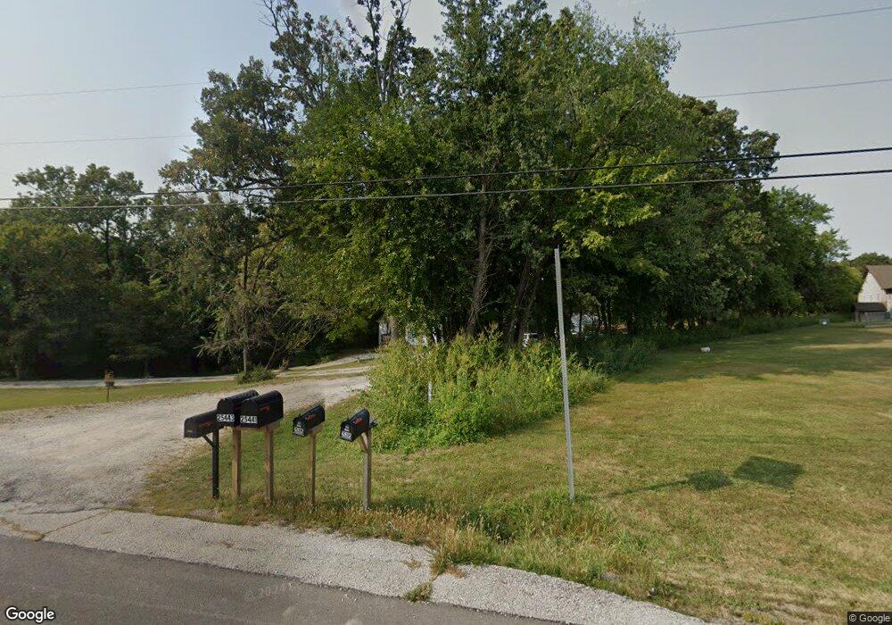
25439 S State Highway 47 Warrenton, MO 63383
Estimated Value: $211,000 - $315,000
2
Beds
1
Bath
1,652
Sq Ft
$155/Sq Ft
Est. Value
About This Home
This home is located at 25439 S State Highway 47, Warrenton, MO 63383 and is currently estimated at $255,908, approximately $154 per square foot. 25439 S State Highway 47 is a home located in Warren County with nearby schools including Warrior Ridge Elementary School, Black Hawk Middle School, and Warrenton High School.
Ownership History
Date
Name
Owned For
Owner Type
Purchase Details
Closed on
Apr 28, 2021
Sold by
Vetter Carlene
Bought by
Vetter Kevin R
Current Estimated Value
Purchase Details
Closed on
Oct 27, 2014
Sold by
Pettig Anna Mae and Pettig Alvin
Bought by
Vetter Carlene
Home Financials for this Owner
Home Financials are based on the most recent Mortgage that was taken out on this home.
Original Mortgage
$45,000
Interest Rate
4.23%
Mortgage Type
Future Advance Clause Open End Mortgage
Create a Home Valuation Report for This Property
The Home Valuation Report is an in-depth analysis detailing your home's value as well as a comparison with similar homes in the area
Home Values in the Area
Average Home Value in this Area
Purchase History
| Date | Buyer | Sale Price | Title Company |
|---|---|---|---|
| Vetter Kevin R | -- | None Available | |
| Vetter Carlene | -- | None Available |
Source: Public Records
Mortgage History
| Date | Status | Borrower | Loan Amount |
|---|---|---|---|
| Previous Owner | Vetter Carlene | $45,000 |
Source: Public Records
Tax History Compared to Growth
Tax History
| Year | Tax Paid | Tax Assessment Tax Assessment Total Assessment is a certain percentage of the fair market value that is determined by local assessors to be the total taxable value of land and additions on the property. | Land | Improvement |
|---|---|---|---|---|
| 2024 | $918 | $15,745 | $2,211 | $13,534 |
| 2023 | $918 | $10,070 | $2,211 | $7,859 |
| 2022 | $545 | $9,327 | $2,050 | $7,277 |
| 2021 | $545 | $9,327 | $2,050 | $7,277 |
| 2020 | $548 | $9,327 | $2,050 | $7,277 |
| 2019 | $548 | $9,327 | $0 | $0 |
| 2017 | $542 | $9,330 | $0 | $0 |
| 2016 | $540 | $9,330 | $0 | $0 |
| 2015 | -- | $9,330 | $0 | $0 |
| 2011 | -- | $9,330 | $0 | $0 |
Source: Public Records
Map
Nearby Homes
- 25845 Lake Cardinal Ln
- 19677 Dogwood Cir
- 19695 Laverne Dr
- 0 Debbie
- 19113 Bent Oak Dr
- 25461 Sky Dr
- 26365 Falling Leaf Dr
- 26198 Woodridge Dr
- 453 Chantilly Ct
- 25156 Woodridge Dr
- Hartford Plan at Estates at Pinckney Ridge
- Sienna Plan at Estates at Pinckney Ridge
- Savoy Plan at Estates at Pinckney Ridge
- Tremont Plan at Estates at Pinckney Ridge
- Rochester Plan at Estates at Pinckney Ridge
- Canterbury Plan at Estates at Pinckney Ridge
- Barkley Plan at Estates at Pinckney Ridge
- Westbrook Plan at Estates at Pinckney Ridge
- Rockport Plan at Estates at Pinckney Ridge
- 902 Pine Ave
- 04.09 ac S Highway 47 (Southbend)
- 25451 S State Highway 47
- 25455 S State Highway 47
- 25449 State Highway 47
- 25463 S State Highway 47
- 25485 S State Highway 47
- 63351 E State Highway 47
- 25395 S State Highway 47
- 6 + - Acres South Hwy 47
- 25367 S State Highway 47
- 19639 Durango Dr
- 25517 S State Highway 47
- 25521 State Highway 47
- 19633 Durango Dr
- 19644 Durango Dr
- 19557 Southbend
- 20000 Wild Turkey Creek Dr
- 25570 S State Highway 47
- 25078 S State Highway 47
- 25406 Autumn Leaf Dr