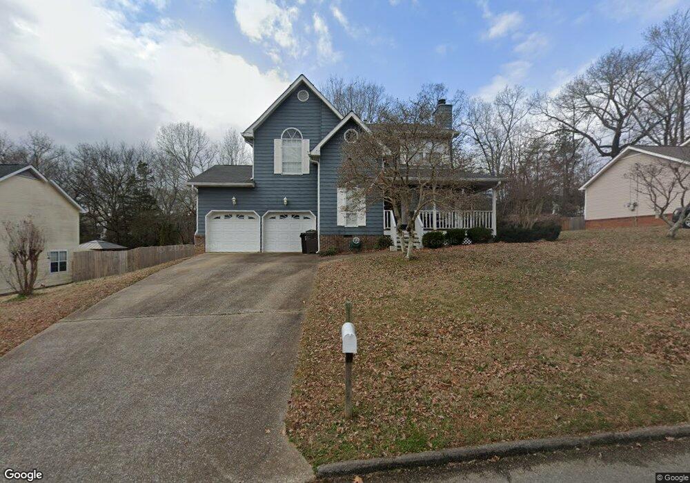
2544 Westwind Dr Soddy Daisy, TN 37379
Estimated Value: $347,000 - $363,000
3
Beds
3
Baths
1,907
Sq Ft
$186/Sq Ft
Est. Value
About This Home
This home is located at 2544 Westwind Dr, Soddy Daisy, TN 37379 and is currently estimated at $354,227, approximately $185 per square foot. 2544 Westwind Dr is a home located in Hamilton County with nearby schools including Loftis Middle School.
Ownership History
Date
Name
Owned For
Owner Type
Purchase Details
Closed on
Nov 5, 2025
Sold by
Cleveland Casey A and Cleveland Raven P
Bought by
Cleveland Carol Raven
Current Estimated Value
Home Financials for this Owner
Home Financials are based on the most recent Mortgage that was taken out on this home.
Original Mortgage
$140,000
Outstanding Balance
$140,000
Interest Rate
6.3%
Mortgage Type
New Conventional
Estimated Equity
$214,227
Purchase Details
Closed on
Nov 5, 2009
Sold by
Westberry Bobby G and Westberry Connie A
Bought by
Cleveland Casey A and Cleveland Raven P
Home Financials for this Owner
Home Financials are based on the most recent Mortgage that was taken out on this home.
Original Mortgage
$153,061
Interest Rate
5.01%
Mortgage Type
Unknown
Purchase Details
Closed on
Oct 3, 2003
Sold by
Jolliffe John Inman
Bought by
Jolliffe Patricia W
Purchase Details
Closed on
Apr 26, 1996
Sold by
Moseley Kenneth H
Bought by
Westberry Bobby G and Westberry Connie
Create a Home Valuation Report for This Property
The Home Valuation Report is an in-depth analysis detailing your home's value as well as a comparison with similar homes in the area
Home Values in the Area
Average Home Value in this Area
Purchase History
| Date | Buyer | Sale Price | Title Company |
|---|---|---|---|
| Cleveland Carol Raven | -- | Choice Title | |
| Cleveland Casey A | $150,000 | None Available | |
| Jolliffe Patricia W | -- | -- | |
| Westberry Bobby G | $99,900 | -- |
Source: Public Records
Mortgage History
| Date | Status | Borrower | Loan Amount |
|---|---|---|---|
| Open | Cleveland Carol Raven | $140,000 | |
| Previous Owner | Cleveland Casey A | $153,061 |
Source: Public Records
Tax History
| Year | Tax Paid | Tax Assessment Tax Assessment Total Assessment is a certain percentage of the fair market value that is determined by local assessors to be the total taxable value of land and additions on the property. | Land | Improvement |
|---|---|---|---|---|
| 2025 | $1,321 | $87,175 | $0 | $0 |
| 2024 | $1,297 | $57,975 | $0 | $0 |
| 2023 | $1,306 | $57,975 | $0 | $0 |
| 2022 | $1,306 | $57,975 | $0 | $0 |
| 2021 | $1,306 | $57,975 | $0 | $0 |
| 2020 | $1,206 | $43,275 | $0 | $0 |
| 2019 | $1,206 | $43,275 | $0 | $0 |
| 2018 | $1,206 | $43,275 | $0 | $0 |
| 2017 | $1,197 | $43,275 | $0 | $0 |
| 2016 | $1,040 | $0 | $0 | $0 |
| 2015 | $1,040 | $37,300 | $0 | $0 |
| 2014 | $1,040 | $0 | $0 | $0 |
Source: Public Records
Map
Nearby Homes
- 2309 Watershore Dr
- 9824 Waterside Way
- 11326 Cape View
- 10105 Hixson Pike
- 10015 Bear Trail Dr
- 11111 Hixson Pike
- 1724 Magnum Ln
- 2234 N Fork Dr
- 10160 Hunters Hollow Dr
- 10166 Hunters Hollow Dr
- 2109 Millard Rd
- 2228 Lakesite Dr
- 2404 Horseshoe Dr
- 9309 Dividing Ridge Rd
- 2311 Chimney Hills Dr
- 2435 Chimney Lake Cir
- 2221 Chimney Hills Dr
- 1846 Millard Rd
- 2105 Port Royal Dr
- 1848 Coffee Tree Ln
- 2544 W Wind Dr
- 2548 W Wind Dr
- 2548 Westwind Dr
- 2542 Westwind Dr
- 2552 W Wind Dr
- 2552 Westwind Dr
- 2538 Westwind Dr
- 2538 W Wind Dr
- 2539 W Wind Dr
- 2539 W Wind Dr
- 2545 Westwind Dr
- 2543 Westwind Dr
- 2539 Westwind Dr
- 2537 W Wind Dr
- 9811 Hixson Pike
- 2534 W Wind Dr
- 2534 Wendy Cir
- 2537 Westwind Dr
- 2534 Westwind Dr
- 9813 Hixson Pike
Your Personal Tour Guide
Ask me questions while you tour the home.