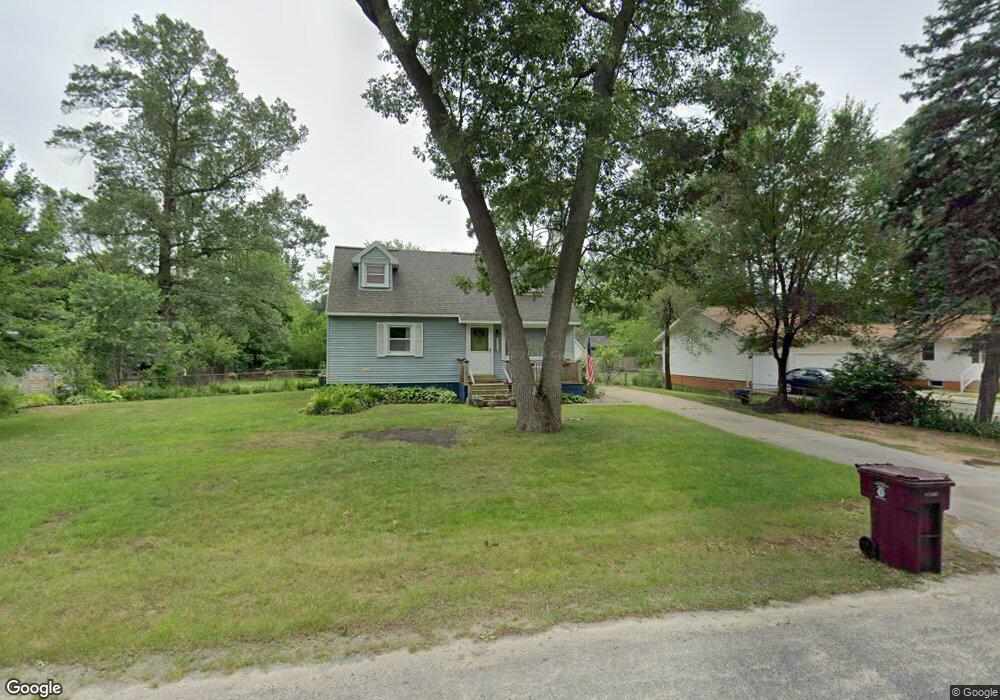
2545 Wesley Ave Muskegon, MI 49442
Estimated Value: $203,533 - $239,000
4
Beds
2
Baths
1,224
Sq Ft
$183/Sq Ft
Est. Value
About This Home
This home is located at 2545 Wesley Ave, Muskegon, MI 49442 and is currently estimated at $224,383, approximately $183 per square foot. 2545 Wesley Ave is a home located in Muskegon County with nearby schools including Orchard View Early Elementary School, Cardinal Elementary School, and Orchard View Middle School.
Ownership History
Date
Name
Owned For
Owner Type
Purchase Details
Closed on
Jun 21, 2019
Sold by
Dreyer Jill M and Schuitman Jill M
Bought by
Dreyer Jill M and Dreyer Phillip R
Current Estimated Value
Home Financials for this Owner
Home Financials are based on the most recent Mortgage that was taken out on this home.
Original Mortgage
$108,000
Interest Rate
4%
Mortgage Type
Unknown
Purchase Details
Closed on
Feb 10, 2003
Sold by
Schuitman James A and Schuitman Jean
Bought by
Schuitman Jill M
Create a Home Valuation Report for This Property
The Home Valuation Report is an in-depth analysis detailing your home's value as well as a comparison with similar homes in the area
Home Values in the Area
Average Home Value in this Area
Purchase History
| Date | Buyer | Sale Price | Title Company |
|---|---|---|---|
| Dreyer Jill M | -- | None Available | |
| Schuitman Jill M | -- | Harbor Title |
Source: Public Records
Mortgage History
| Date | Status | Borrower | Loan Amount |
|---|---|---|---|
| Closed | Dreyer Jill M | $108,000 |
Source: Public Records
Tax History Compared to Growth
Tax History
| Year | Tax Paid | Tax Assessment Tax Assessment Total Assessment is a certain percentage of the fair market value that is determined by local assessors to be the total taxable value of land and additions on the property. | Land | Improvement |
|---|---|---|---|---|
| 2025 | $1,662 | $86,300 | $0 | $0 |
| 2024 | $494 | $79,700 | $0 | $0 |
| 2023 | $472 | $68,000 | $0 | $0 |
| 2022 | $1,545 | $58,500 | $0 | $0 |
| 2021 | $1,518 | $51,900 | $0 | $0 |
| 2020 | $1,493 | $48,800 | $0 | $0 |
| 2019 | $1,478 | $45,400 | $0 | $0 |
| 2018 | $2,187 | $43,900 | $0 | $0 |
| 2017 | $2,071 | $43,200 | $0 | $0 |
| 2016 | $402 | $39,100 | $0 | $0 |
| 2015 | -- | $36,500 | $0 | $0 |
| 2014 | -- | $35,800 | $0 | $0 |
| 2013 | -- | $33,400 | $0 | $0 |
Source: Public Records
Map
Nearby Homes
- 517 S Sheridan Dr
- 470 S Sheridan Dr
- 687 S Sheridan Dr
- 415 S Densmore St
- 2369 James Ave
- 2756 Marquette Ave
- 123 Darwin Dr
- 2028 Marcoux Ave
- 2916 E Apple Ave
- 936 West St
- 30 S Sheridan Dr
- 16 S Densmore St
- 960 Carlton St
- 947 Carlton St
- 1051 West St
- 1190 Center St
- 3075 Lenore Ave
- 3186 E Apple Ave
- 3172 Hall Rd
- 2034 Kristin Ct
- 2553 Wesley Ave
- 2546 Wesley Ave
- 2536 Wesley Ave
- 2556 Wesley Ave
- 2539 Wesley Ave
- 2568 Wesley Ave
- 2540 Marcoux Ave
- 2509 Wesley Ave
- 2514 Wesley Ave
- 2554 Marcoux Ave
- 2502 Wesley Ave
- 2524 Marcoux Ave
- 2570 Marcoux Ave
- 2495 Wesley Ave
- 2596 Wesley Ave
- 2510 Marcoux Ave
- 2492 Wesley Ave
- 615 S Densmore St
- 2539 Marcoux Ave
- 2486 Wesley Ave