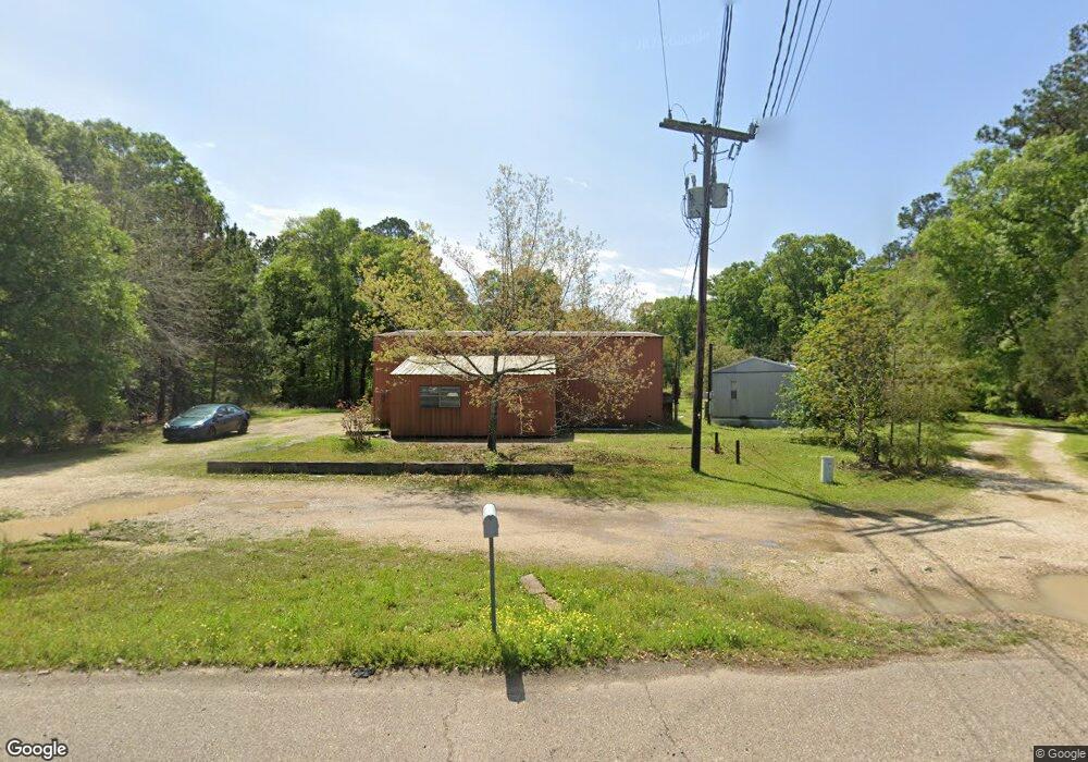
25450 Highway 190 E Robert, LA 70455
Estimated Value: $113,745 - $217,000
Studio
--
Bath
1,950
Sq Ft
$88/Sq Ft
Est. Value
About This Home
This home is located at 25450 Highway 190 E, Robert, LA 70455 and is currently estimated at $172,436, approximately $88 per square foot. 25450 Highway 190 E is a home located in Tangipahoa Parish with nearby schools including Hammond Eastside Magnet and Hammond High Magnet School.
Ownership History
Date
Name
Owned For
Owner Type
Purchase Details
Closed on
Jan 23, 2025
Sold by
Borne Kelly O
Current Estimated Value
Home Financials for this Owner
Home Financials are based on the most recent Mortgage that was taken out on this home.
Original Mortgage
$75,000
Outstanding Balance
$74,177
Interest Rate
6.6%
Mortgage Type
New Conventional
Estimated Equity
$98,259
Purchase Details
Closed on
May 13, 2022
Sold by
Jules Bordelon Stephen
Bought by
Bonaventure Dorothy Bordelon and Bonaventure Jeffrey Paul
Create a Home Valuation Report for This Property
The Home Valuation Report is an in-depth analysis detailing your home's value as well as a comparison with similar homes in the area
Purchase History
We collect this data history from publicly available records. To have your information removed, we recommend requesting removal directly through your county’s website.
| Date | Buyer | Sale Price | Title Company |
|---|---|---|---|
| -- | $150,000 | Provenance Title | |
| -- | $150,000 | Provenance Title | |
| Bonaventure Dorothy Bordelon | -- | -- |
Source: Public Records
Mortgage History
We collect this data history from publicly available records. To have your information removed, we recommend requesting removal directly through your county’s website.
| Date | Status | Borrower | Loan Amount |
|---|---|---|---|
| Open | -- | $75,000 | |
| Closed | -- | $75,000 |
Source: Public Records
Tax History
| Year | Tax Paid | Tax Assessment Tax Assessment Total Assessment is a certain percentage of the fair market value that is determined by local assessors to be the total taxable value of land and additions on the property. | Land | Improvement |
|---|---|---|---|---|
| 2025 | $603 | $6,234 | $1,384 | $4,850 |
| 2024 | $600 | $6,234 | $1,384 | $4,850 |
| 2023 | $596 | $6,138 | $1,288 | $4,850 |
| 2022 | $596 | $6,138 | $1,288 | $4,850 |
| 2021 | $596 | $6,138 | $1,288 | $4,850 |
| 2020 | $596 | $6,138 | $1,288 | $4,850 |
| 2019 | $594 | $6,138 | $1,288 | $4,850 |
| 2018 | $596 | $6,138 | $1,288 | $4,850 |
| 2017 | $596 | $6,138 | $1,288 | $4,850 |
| 2016 | $596 | $6,138 | $1,288 | $4,850 |
| 2015 | -- | $6,138 | $1,288 | $4,850 |
| 2014 | -- | $6,138 | $1,288 | $4,850 |
Source: Public Records
Map
Nearby Homes
- 23015 Mills Blvd
- 25214 Highway 190
- 0 Stepp Rd
- 46103 Riverdale Heights Rd
- 24411 Michael Dr
- 0 Highway 190 Hwy E Unit 2428618
- 0 Highway 190 Hwy E Unit 2507528
- 0 Highway 190 Hwy E Unit 2469869
- 26.85 Acres Heritage Acres Ln
- 45172 Gomez Rd
- 6.40 ACRE TRACT - Cypress Ln
- PAR 1-B Highway 190
- PAR 1-D Highway 190
- PAR 1-C Highway 190
- PAR 1-A Highway 190
- 25438 Highway 190 E
- 25459 Highway 190 E
- 25410 Highway 190 E
- 25463 Highway 190 E
- 25594 Stepp Rd
- 25382 Highway 190 E
- 25498 Highway 190 E
- 25415 Highway 190 E
- 25562 Stepp Rd
- 25327 Highway 190 E
- 25599 Stepp Rd
- 25552 Stepp Rd
- 25364 Corrine Ln
- 25330 Highway 190 E
- 25497 Highway 190 E
- 25364 Corine Ln
- 25369 Snead Rd
- 25572 Stepp Rd
- 25331 Highway 190 E
- 25525 Stepp Rd
Your Personal Tour Guide
Ask me questions while you tour the home.