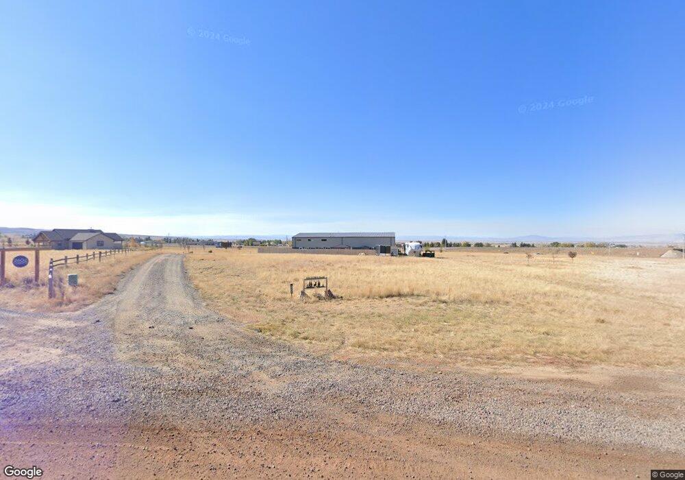
2546 Sherman Hill Rd Laramie, WY 82070
Estimated Value: $588,000 - $738,679
2
Beds
3
Baths
2,600
Sq Ft
$255/Sq Ft
Est. Value
About This Home
This home is located at 2546 Sherman Hill Rd, Laramie, WY 82070 and is currently estimated at $663,340, approximately $255 per square foot. 2546 Sherman Hill Rd is a home with nearby schools including Beitel Elementary School, Laramie Middle School, and Laramie High School.
Ownership History
Date
Name
Owned For
Owner Type
Purchase Details
Closed on
Jan 14, 2020
Sold by
Jacobsen Zachary and Jacobsen Patricia
Bought by
Mitchell Robert F and Mitchell Vicki J
Current Estimated Value
Home Financials for this Owner
Home Financials are based on the most recent Mortgage that was taken out on this home.
Original Mortgage
$396,981
Outstanding Balance
$350,749
Interest Rate
3.6%
Mortgage Type
VA
Estimated Equity
$312,591
Purchase Details
Closed on
Aug 8, 2019
Sold by
Jacobsen Zachary and Jacobsen Patricia
Bought by
Jacobsen Zachary and Jacobsen Patricia
Create a Home Valuation Report for This Property
The Home Valuation Report is an in-depth analysis detailing your home's value as well as a comparison with similar homes in the area
Home Values in the Area
Average Home Value in this Area
Purchase History
| Date | Buyer | Sale Price | Title Company |
|---|---|---|---|
| Mitchell Robert F | -- | First American Title | |
| Jacobsen Zachary | -- | None Available |
Source: Public Records
Mortgage History
| Date | Status | Borrower | Loan Amount |
|---|---|---|---|
| Open | Mitchell Robert F | $396,981 |
Source: Public Records
Tax History Compared to Growth
Tax History
| Year | Tax Paid | Tax Assessment Tax Assessment Total Assessment is a certain percentage of the fair market value that is determined by local assessors to be the total taxable value of land and additions on the property. | Land | Improvement |
|---|---|---|---|---|
| 2025 | $4,246 | $44,343 | $9,570 | $34,773 |
| 2024 | $4,246 | $56,851 | $12,270 | $44,581 |
| 2023 | $3,900 | $51,768 | $8,902 | $42,866 |
| 2022 | $3,431 | $45,596 | $8,902 | $36,694 |
| 2021 | $0 | $39,806 | $8,234 | $31,572 |
| 2020 | $1,964 | $24,034 | $8,234 | $15,800 |
| 2019 | $2,071 | $25,609 | $8,234 | $17,375 |
| 2018 | $1,887 | $25,541 | $8,726 | $16,815 |
| 2017 | $743 | $8,726 | $8,726 | $0 |
Source: Public Records
Map
Nearby Homes
- TBD Sherman Hill Rd
- 4746 E Skyline Dr Unit 31
- 4746 E Skyline Dr Unit 47
- 3210 Evergreen Dr
- 4609 Meadowlark Ln
- 4500 E Meadowlark Ln Unit A
- 1517 Shetland Dr
- 1501 Arabian Dr
- 4141 Cliff St
- 4328 Beech St Unit SR1
- 4328 Beech St Unit 7
- 4031 Cliff St
- 4223 Moraine St
- 1916 Peak Cir
- 4039 Bill Nye Ave
- 429 Bill Nye Ave
- 4037 Bill Nye Ave
- 4033 Bill Nye Ave
- 1702 Walsh Ct Unit C
- 4029 Bill Nye Ave
- 2602 Sherman Hill Rd
- 2526 Sherman Hill Rd
- 2535 Sherman Hill Rd
- 2536 Sky View Ln
- 2523 Sherman Hill Rd
- 2526 Sky View Ln
- 2516 Sky View Ln
- 2535 Sky View Ln
- 2525 Sky View Ln
- 2503 Sherman Hill Rd
- 2506 Sky View Ln
- 2515 Sky View Ln
- 2548 Mountain Shadow Ln
- 2505 Sky View Ln
- 5415 Meadow Ln
- 5306 E Skyline Dr
- 2426 Sky View Ln
- 2536 Mountain Shadow Ln
- 2526 Mountain Shadow Ln
- 5526 Pilot Peak Rd