2546 Wynnton Dr Unit I Duluth, GA 30097
Estimated Value: $2,272,000 - $2,616,000
6
Beds
8
Baths
7,203
Sq Ft
$338/Sq Ft
Est. Value
About This Home
This home is located at 2546 Wynnton Dr Unit I, Duluth, GA 30097 and is currently estimated at $2,435,504, approximately $338 per square foot. 2546 Wynnton Dr Unit I is a home located in Gwinnett County with nearby schools including M. H. Mason Elementary School, Hull Middle School, and Peachtree Ridge High School.
Ownership History
Date
Name
Owned For
Owner Type
Purchase Details
Closed on
Sep 5, 2002
Sold by
Sugarloaf Properties Llc
Bought by
Vakili Fariborz and Vakili Emily S
Current Estimated Value
Home Financials for this Owner
Home Financials are based on the most recent Mortgage that was taken out on this home.
Original Mortgage
$347,130
Interest Rate
6.21%
Mortgage Type
New Conventional
Create a Home Valuation Report for This Property
The Home Valuation Report is an in-depth analysis detailing your home's value as well as a comparison with similar homes in the area
Home Values in the Area
Average Home Value in this Area
Purchase History
| Date | Buyer | Sale Price | Title Company |
|---|---|---|---|
| Vakili Fariborz | $385,700 | -- |
Source: Public Records
Mortgage History
| Date | Status | Borrower | Loan Amount |
|---|---|---|---|
| Previous Owner | Vakili Fariborz | $347,130 |
Source: Public Records
Tax History Compared to Growth
Tax History
| Year | Tax Paid | Tax Assessment Tax Assessment Total Assessment is a certain percentage of the fair market value that is determined by local assessors to be the total taxable value of land and additions on the property. | Land | Improvement |
|---|---|---|---|---|
| 2025 | $30,550 | $1,093,680 | $160,120 | $933,560 |
| 2024 | $30,872 | $860,000 | $140,000 | $720,000 |
| 2023 | $30,872 | $1,035,920 | $144,000 | $891,920 |
| 2022 | $23,035 | $932,800 | $140,000 | $792,800 |
| 2021 | $20,016 | $637,480 | $120,000 | $517,480 |
| 2020 | $23,621 | $637,480 | $120,000 | $517,480 |
| 2019 | $22,732 | $637,480 | $120,000 | $517,480 |
| 2018 | $22,817 | $637,480 | $120,000 | $517,480 |
| 2016 | $22,810 | $637,480 | $120,000 | $517,480 |
| 2015 | $23,100 | $637,480 | $120,000 | $517,480 |
| 2014 | -- | $637,480 | $120,000 | $517,480 |
Source: Public Records
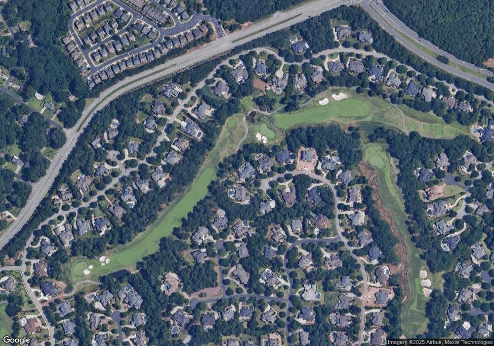
Map
Nearby Homes
- 2569 Wynnton Dr
- 3264 Lockett Trace
- 2281 Bransley Place
- 2397 Harpers Way
- 3258 Bransley Way
- 2245 Taylor Grady Terrace
- 3473 Stoneham Dr
- 3475 Leaf Land Ct
- 2011 Old Peachtree Rd NW
- 2017 Parsons Ridge Cir
- 2035 Kyrle Ln NW
- 3448 Parsons Ridge Ln
- 2122 Hailston Dr
- 2107 Hailston Dr
- 2760 Sugarloaf Club Dr
- 1806 Royal Troon Ct
- 2070 Hailston Dr
- 2571 Royston Dr
- 2556 Wynnton Dr
- 2549 Wynnton Dr
- 2566 Wynnton Dr
- 3284 Lockett Trace Unit 1
- 3271 Lockett Trace
- 2576 Wynnton Dr Unit 878
- 2576 Wynnton Dr
- 3490 Moye Trail
- 3480 Moye Trail
- 3252 Saint Elmo Ct
- 3500 Moye Trail
- 3470 Moye Trail
- 3262 Saint Elmo Ct Unit 1
- 2599 Wynnton Dr
- 3261 Lockett Trace
- 3274 Lockett Trace
- 3510 Moye Trail
- 3242 Saint Elmo Ct
- 2586 Wynnton Dr
- 3460 Moye Trail