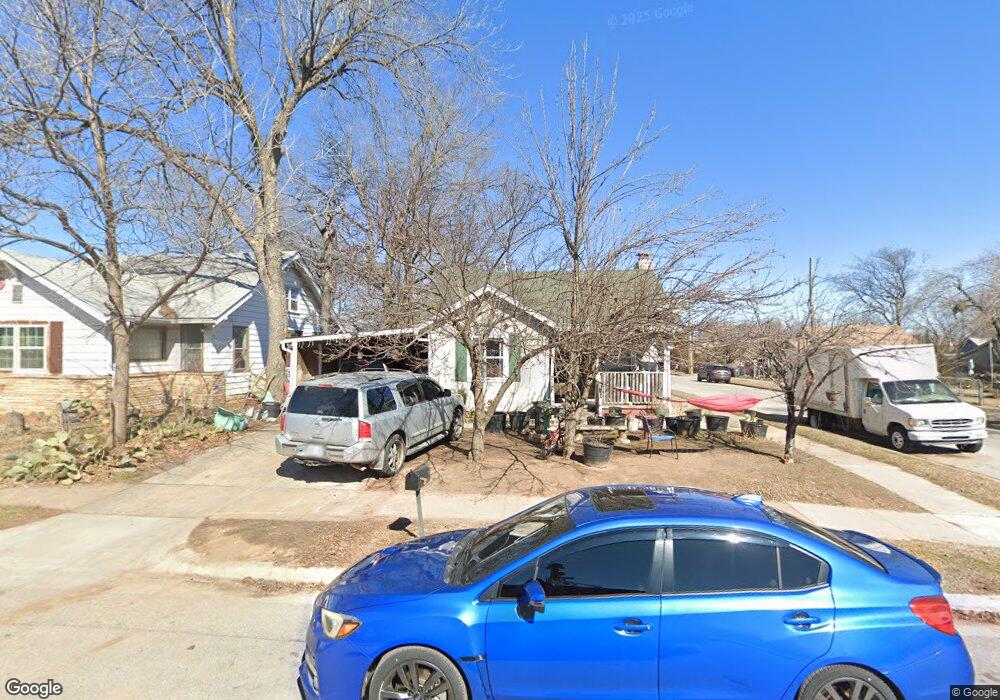
2547 E 1st St Tulsa, OK 74104
Kendall-Whittier NeighborhoodEstimated Value: $132,000 - $169,000
2
Beds
1
Bath
986
Sq Ft
$155/Sq Ft
Est. Value
About This Home
This home is located at 2547 E 1st St, Tulsa, OK 74104 and is currently estimated at $152,397, approximately $154 per square foot. 2547 E 1st St is a home located in Tulsa County with nearby schools including Kendall-Whittier Elementary School, Nathan Hale High School, and Tulsa Adventist Academy.
Ownership History
Date
Name
Owned For
Owner Type
Purchase Details
Closed on
Jan 25, 2002
Sold by
Meints Karen S
Bought by
Hambrick William S and Hambrick Charity M
Current Estimated Value
Home Financials for this Owner
Home Financials are based on the most recent Mortgage that was taken out on this home.
Original Mortgage
$50,600
Outstanding Balance
$20,403
Interest Rate
7.15%
Mortgage Type
Purchase Money Mortgage
Estimated Equity
$131,994
Purchase Details
Closed on
Jan 29, 1998
Sold by
Peppers D Keith
Bought by
Meints Karen S
Create a Home Valuation Report for This Property
The Home Valuation Report is an in-depth analysis detailing your home's value as well as a comparison with similar homes in the area
Home Values in the Area
Average Home Value in this Area
Purchase History
| Date | Buyer | Sale Price | Title Company |
|---|---|---|---|
| Hambrick William S | $56,500 | -- | |
| Meints Karen S | $56,000 | Delta Title & Escrow Company |
Source: Public Records
Mortgage History
| Date | Status | Borrower | Loan Amount |
|---|---|---|---|
| Open | Hambrick William S | $50,600 |
Source: Public Records
Tax History
| Year | Tax Paid | Tax Assessment Tax Assessment Total Assessment is a certain percentage of the fair market value that is determined by local assessors to be the total taxable value of land and additions on the property. | Land | Improvement |
|---|---|---|---|---|
| 2025 | $978 | $7,299 | $854 | $6,445 |
| 2024 | $866 | $7,057 | $1,093 | $5,964 |
| 2023 | $866 | $7,822 | $1,288 | $6,534 |
| 2022 | $879 | $6,594 | $1,357 | $5,237 |
| 2021 | $842 | $6,374 | $1,312 | $5,062 |
| 2020 | $827 | $6,345 | $1,306 | $5,039 |
| 2019 | $840 | $6,131 | $1,262 | $4,869 |
| 2018 | $813 | $5,923 | $1,219 | $4,704 |
| 2017 | $812 | $6,923 | $1,425 | $5,498 |
| 2016 | $795 | $6,923 | $1,425 | $5,498 |
| 2015 | $931 | $6,923 | $1,425 | $5,498 |
| 2014 | $922 | $6,923 | $1,425 | $5,498 |
Source: Public Records
Map
Nearby Homes
- 2504 E 1st St
- 2604 E 2nd St
- 2511 E 3rd St
- 2524 E Admiral Ct
- 2735 E 1st St
- 2504 E 4th St
- 2807 E 3rd St
- 119 N Columbia Ave
- 2811 E 3rd St
- 2125 E 2nd St
- 2836 E Admiral Blvd
- 331 S Zunis Ave
- 232 S Florence Ave
- 105 S Wheeling Ave
- 56 N Xanthus Ave
- 519 S Yorktown Ave
- 211 S Florence Ave
- 410 S Xanthus Ave
- 3015 E Archer St
- 835 N Columbia Ave
- 2543 E 1st St
- 16 S Birmingham Ave
- 18 S Birmingham Ave
- 2539 E 1st St
- 17 S Birmingham Ave
- 2535 E 1st St
- 2535 E 1st St Unit 1
- 2607 E 1st St
- 2548 E 1st St
- 2544 E 1st St
- 2531 E 1st St
- 2611 E 1st St
- 2540 E 1st St
- 2604 E 1st St
- 2546 E Admiral Blvd
- 2536 E 1st St
- 2604 E Admiral Blvd
- 2608 E 1st St
- 2527 E 1st St
- 2615 E 1st St