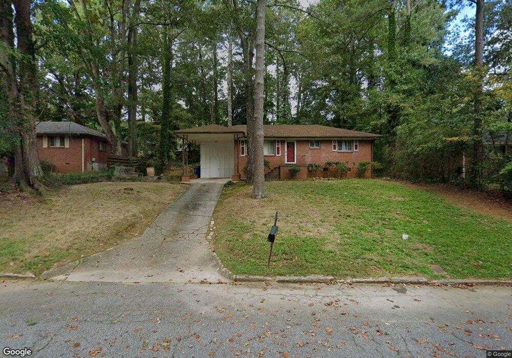
2547 Lancaster Dr Atlanta, GA 30344
Estimated Value: $189,000 - $248,000
3
Beds
2
Baths
1,300
Sq Ft
$167/Sq Ft
Est. Value
About This Home
This home is located at 2547 Lancaster Dr, Atlanta, GA 30344 and is currently estimated at $216,697, approximately $166 per square foot. 2547 Lancaster Dr is a home located in Fulton County with nearby schools including Conley Hills Elementary School, Paul D. West Middle School, and Tri-Cities High School.
Ownership History
Date
Name
Owned For
Owner Type
Purchase Details
Closed on
May 5, 2017
Sold by
Reynolds Willie Mae
Bought by
Pierre Lacie A
Current Estimated Value
Home Financials for this Owner
Home Financials are based on the most recent Mortgage that was taken out on this home.
Original Mortgage
$82,450
Outstanding Balance
$41,322
Interest Rate
3.36%
Mortgage Type
New Conventional
Estimated Equity
$175,375
Purchase Details
Closed on
Sep 27, 1994
Sold by
Bolton Peggy M
Bought by
Reynolds Willie M
Create a Home Valuation Report for This Property
The Home Valuation Report is an in-depth analysis detailing your home's value as well as a comparison with similar homes in the area
Home Values in the Area
Average Home Value in this Area
Purchase History
| Date | Buyer | Sale Price | Title Company |
|---|---|---|---|
| Pierre Lacie A | $85,000 | -- | |
| Reynolds Willie M | $66,000 | -- |
Source: Public Records
Mortgage History
| Date | Status | Borrower | Loan Amount |
|---|---|---|---|
| Open | Pierre Lacie A | $82,450 | |
| Closed | Reynolds Willie M | -- |
Source: Public Records
Tax History Compared to Growth
Tax History
| Year | Tax Paid | Tax Assessment Tax Assessment Total Assessment is a certain percentage of the fair market value that is determined by local assessors to be the total taxable value of land and additions on the property. | Land | Improvement |
|---|---|---|---|---|
| 2025 | $1,099 | $77,120 | $26,560 | $50,560 |
| 2023 | $2,204 | $78,080 | $26,560 | $51,520 |
| 2022 | $938 | $57,440 | $10,680 | $46,760 |
| 2021 | $1,669 | $49,960 | $8,080 | $41,880 |
| 2020 | $1,965 | $45,640 | $10,360 | $35,280 |
| 2019 | $645 | $39,800 | $9,760 | $30,040 |
| 2018 | $656 | $23,240 | $4,480 | $18,760 |
| 2017 | $167 | $10,880 | $3,400 | $7,480 |
| 2016 | $167 | $10,880 | $3,400 | $7,480 |
| 2015 | $440 | $10,880 | $3,400 | $7,480 |
| 2014 | $168 | $10,880 | $3,400 | $7,480 |
Source: Public Records
Map
Nearby Homes
- 2595 Lancaster Dr
- 2550 Graywall St
- 2667 Plantation Dr
- 2478 Graywall St
- 2228 Headland Dr
- 2581 N Clark Dr
- 2435 Wood Valley Dr
- 2442 Graywall St
- 2564 Riggs Dr
- 2382 Ridgecrest Ln
- 2370 Farley St
- 2284 Headland Dr
- 2011 Lexington Ave
- 2364 Farley St
- 2302 Montrose Dr
- 2008 Neely Ave
- 2023 Montrose Dr
- 0 Riggs Dr Unit 10600937
- 0 Riggs Dr Unit 7646715
- 2608 Westchester Dr
- 2555 Lancaster Dr
- 2539 Lancaster Dr
- 2552 Farley St
- 2563 Lancaster Dr Unit 16
- 2542 Farley St
- 2562 Farley St
- 2548 Lancaster Dr
- 2538 Lancaster Dr
- 2556 Lancaster Dr
- 2570 Farley St
- 2571 Lancaster Dr
- 2171 Leith Ave
- 2177 Leith Ave
- 2185 Leith Ave Unit 16
- 2564 Lancaster Dr
- 2553 Farley St
- 2155 Leith Ave Unit 16
- 2193 Leith Ave
- 2578 Farley St
- 2579 Lancaster Dr Unit 16