Estimated Value: $36,000 - $185,000
Studio
--
Bath
--
Sq Ft
19,341
Sq Ft Lot
About This Home
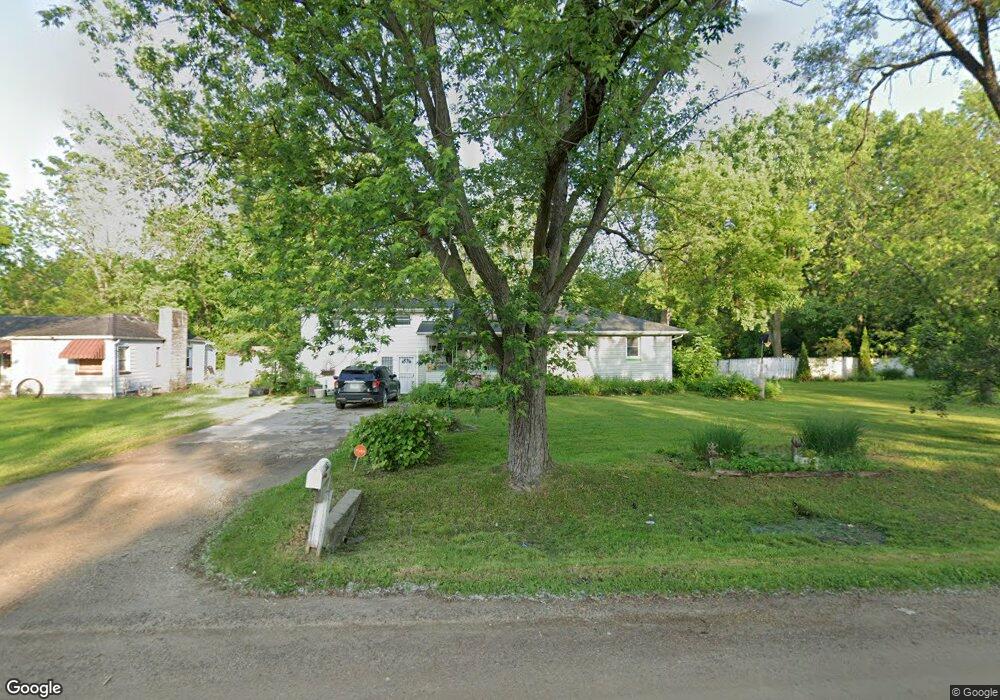
This home is located at 2547 Thornton Ave, Flint, MI 48504 and is currently estimated at $110,500. 2547 Thornton Ave is a home located in Genesee County with nearby schools including Carman-Ainsworth High School, Greater Heights Academy, and Eagle's Nest Academy.
Ownership History
Date
Name
Owned For
Owner Type
Purchase Details
Closed on
Feb 9, 2010
Sold by
Stair Philip G
Bought by
Price Della
Current Estimated Value
Purchase Details
Closed on
May 25, 2006
Sold by
The Genesee County Land Bank Authority
Bought by
Price Della
Purchase Details
Closed on
Dec 15, 2005
Sold by
Kildee Daniel T
Bought by
Genesee County Land Bank Authority
Purchase Details
Closed on
Dec 10, 2002
Sold by
United Companies Lending Corp
Bought by
Bryce Peters Financial Corp
Purchase Details
Closed on
Dec 8, 1999
Sold by
Molina Mary M
Bought by
United Companies Lending Corp
Create a Home Valuation Report for This Property
The Home Valuation Report is an in-depth analysis detailing your home's value as well as a comparison with similar homes in the area
Home Values in the Area
Average Home Value in this Area
Purchase History
| Date | Buyer | Sale Price | Title Company |
|---|---|---|---|
| Price Della | $2,500 | None Available | |
| Price Della | $2,500 | None Available | |
| Genesee County Land Bank Authority | -- | None Available | |
| Bryce Peters Financial Corp | -- | First American Title | |
| United Companies Lending Corp | $44,655 | -- |
Source: Public Records
Mortgage History
| Date | Status | Borrower | Loan Amount |
|---|---|---|---|
| Closed | Price Della | $0 |
Source: Public Records
Tax History
| Year | Tax Paid | Tax Assessment Tax Assessment Total Assessment is a certain percentage of the fair market value that is determined by local assessors to be the total taxable value of land and additions on the property. | Land | Improvement |
|---|---|---|---|---|
| 2025 | $242 | $3,100 | $0 | $0 |
| 2024 | $126 | $3,100 | $0 | $0 |
| 2023 | $125 | $3,100 | $0 | $0 |
| 2022 | $87 | $3,100 | $0 | $0 |
| 2021 | $219 | $3,100 | $0 | $0 |
| 2020 | $124 | $3,100 | $0 | $0 |
| 2019 | $125 | $3,100 | $0 | $0 |
| 2018 | $216 | $3,100 | $0 | $0 |
| 2017 | $210 | $3,100 | $0 | $0 |
| 2016 | $163 | $3,100 | $0 | $0 |
| 2015 | $123 | $3,100 | $0 | $0 |
| 2014 | $74 | $3,100 | $0 | $0 |
| 2012 | -- | $3,100 | $3,100 | $0 |
Source: Public Records
Map
Nearby Homes
- 2565 Mccollum Ave
- 3022 Seneca St
- 3001 Kellar Ave
- 2614 Seneca St
- 2631 Brownell Blvd
- 3073 W Dayton St
- 3095 Maywood Dr
- 3617 Kellar Ave
- 2407 Kellar Ave
- 2302 Copeman Blvd
- 3506 Brownell Blvd
- 3710 Kellar Ave
- 2907 Trumbull Ave
- 2615 Trumbull Ave
- 3413 Leerda St
- 3419 Leerda St
- 3505 Leerda St
- 3517 Leerda St
- 3218 Trumbull Ave
- 2514 Trumbull Ave
- 2547 Thornton Ave
- 2543 Thornton Ave
- 2569 Thornton Ave
- 2573 Thornton Ave
- 3044 W Dartmouth St
- 2546 Thornton Ave
- 2540 Thornton Ave
- 3018 W Dartmouth St
- 2554 Bertha Ave
- 2577 Thornton Ave
- 2544 Bertha Ave
- 2556 Bertha Ave
- 3010 W Dartmouth St
- 3060 W Dartmouth St
- 2566 Bertha Ave
- 2581 Thornton Ave
- 2572 Thornton Ave
- 2574 Bertha Ave
- 3031 W Dartmouth St
- 2585 Thornton Ave
Your Personal Tour Guide
Ask me questions while you tour the home.