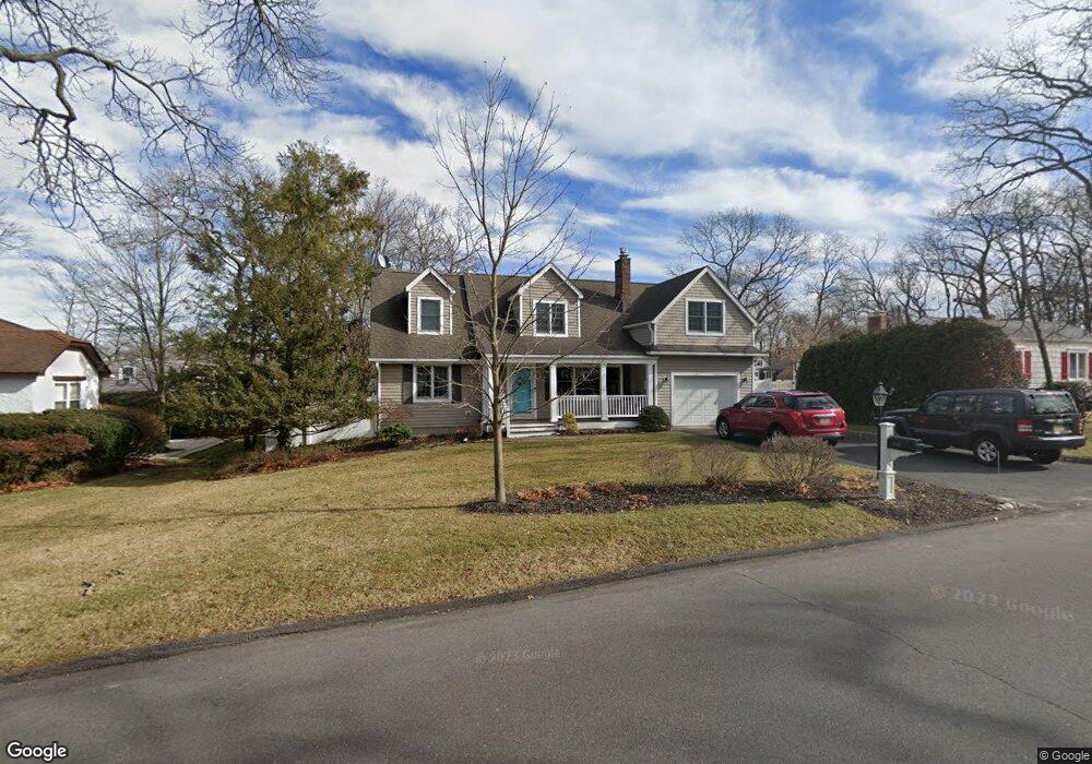
2548 Algonkin Trail Manasquan, NJ 08736
Estimated Value: $895,224 - $1,169,000
4
Beds
2
Baths
2,271
Sq Ft
$450/Sq Ft
Est. Value
About This Home
This home is located at 2548 Algonkin Trail, Manasquan, NJ 08736 and is currently estimated at $1,022,556, approximately $450 per square foot. 2548 Algonkin Trail is a home located in Monmouth County with nearby schools including Wall High School and The Brookside School.
Ownership History
Date
Name
Owned For
Owner Type
Purchase Details
Closed on
Jul 26, 2010
Sold by
Heim Michael C and Heim Kim Codey
Bought by
Tudisco Thomas J and Kennedy Priscilla J
Current Estimated Value
Purchase Details
Closed on
Oct 23, 2007
Sold by
Whille Thomas W and Whille Diana L
Bought by
Heim Kim Codey and Heim Michael C
Home Financials for this Owner
Home Financials are based on the most recent Mortgage that was taken out on this home.
Original Mortgage
$417,000
Interest Rate
6.43%
Mortgage Type
Purchase Money Mortgage
Purchase Details
Closed on
Aug 19, 1997
Sold by
Franklin Dawn
Bought by
Whille Thomas and Marschalk Diana
Home Financials for this Owner
Home Financials are based on the most recent Mortgage that was taken out on this home.
Original Mortgage
$142,000
Interest Rate
7.38%
Create a Home Valuation Report for This Property
The Home Valuation Report is an in-depth analysis detailing your home's value as well as a comparison with similar homes in the area
Home Values in the Area
Average Home Value in this Area
Purchase History
| Date | Buyer | Sale Price | Title Company |
|---|---|---|---|
| Tudisco Thomas J | $580,000 | Multiple | |
| Heim Kim Codey | $630,000 | Transnation Title Ins Co | |
| Whille Thomas | $178,000 | -- |
Source: Public Records
Mortgage History
| Date | Status | Borrower | Loan Amount |
|---|---|---|---|
| Previous Owner | Heim Kim Codey | $417,000 | |
| Previous Owner | Whille Thomas | $142,000 |
Source: Public Records
Tax History Compared to Growth
Tax History
| Year | Tax Paid | Tax Assessment Tax Assessment Total Assessment is a certain percentage of the fair market value that is determined by local assessors to be the total taxable value of land and additions on the property. | Land | Improvement |
|---|---|---|---|---|
| 2025 | $10,303 | $488,300 | $237,500 | $250,800 |
| 2024 | $9,996 | $488,300 | $237,500 | $250,800 |
| 2023 | $9,996 | $488,300 | $237,500 | $250,800 |
| 2022 | $9,043 | $488,300 | $237,500 | $250,800 |
| 2021 | $9,043 | $488,300 | $237,500 | $250,800 |
| 2020 | $9,634 | $488,300 | $237,500 | $250,800 |
| 2019 | $9,517 | $488,300 | $237,500 | $250,800 |
| 2018 | $9,434 | $488,300 | $237,500 | $250,800 |
| 2017 | $9,248 | $488,300 | $237,500 | $250,800 |
| 2016 | $9,053 | $488,300 | $237,500 | $250,800 |
| 2015 | $9,478 | $321,300 | $121,400 | $199,900 |
| 2014 | $9,154 | $317,400 | $117,500 | $199,900 |
Source: Public Records
Map
Nearby Homes
- 1207 Bayberry Rd
- 1210 Bayberry Rd
- 203 Lenape Trail
- 14 Lebanon Dr
- 1209 Lenape Trail
- 308 South St
- 1307 W Union Ln Unit A4
- 10 Acpoan Place
- 633 Agnes Ave
- 619 Park Ave
- 34 Gertrude Place
- 142 Oval Rd
- 2404 Lenape Trail
- 1422 Lakewood Rd
- 1215 Church St
- 610 Agnes Ave
- 1347 Winter View Rd
- 5 Hickory Ct Unit B
- 300 Union Ave
- Kensington Plan at The Monmouth - The Villas 55+