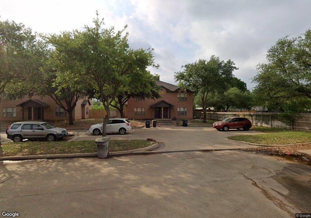
2549 Ashford Dr College Station, TX 77840
Wolf Pen Creek District NeighborhoodEstimated Value: $356,274 - $490,000
--
Bed
--
Bath
3,084
Sq Ft
$135/Sq Ft
Est. Value
About This Home
This home is located at 2549 Ashford Dr, College Station, TX 77840 and is currently estimated at $415,319, approximately $134 per square foot. 2549 Ashford Dr is a home located in Brazos County with nearby schools including A&M Consolidated Middle School, Oakwood Intermediate School, and International Leadership of Texas - Aggieland High School.
Ownership History
Date
Name
Owned For
Owner Type
Purchase Details
Closed on
Feb 27, 2020
Sold by
Park Mance Michael and Park Carol S
Bought by
Dartmouth Crossing Duplexes Llc
Current Estimated Value
Home Financials for this Owner
Home Financials are based on the most recent Mortgage that was taken out on this home.
Original Mortgage
$4,500,000
Outstanding Balance
$3,985,392
Interest Rate
3.5%
Mortgage Type
Commercial
Estimated Equity
-$3,570,073
Create a Home Valuation Report for This Property
The Home Valuation Report is an in-depth analysis detailing your home's value as well as a comparison with similar homes in the area
Home Values in the Area
Average Home Value in this Area
Purchase History
| Date | Buyer | Sale Price | Title Company |
|---|---|---|---|
| Dartmouth Crossing Duplexes Llc | -- | Os National |
Source: Public Records
Mortgage History
| Date | Status | Borrower | Loan Amount |
|---|---|---|---|
| Open | Dartmouth Crossing Duplexes Llc | $4,500,000 |
Source: Public Records
Tax History Compared to Growth
Tax History
| Year | Tax Paid | Tax Assessment Tax Assessment Total Assessment is a certain percentage of the fair market value that is determined by local assessors to be the total taxable value of land and additions on the property. | Land | Improvement |
|---|---|---|---|---|
| 2025 | $4,932 | $267,057 | $109,956 | $157,101 |
| 2024 | $4,932 | $258,827 | $105,095 | $153,732 |
| 2023 | $4,932 | $258,827 | $99,067 | $159,760 |
| 2022 | $6,050 | $283,742 | $90,415 | $193,327 |
| 2021 | $5,846 | $258,827 | $76,026 | $182,801 |
| 2020 | $5,878 | $258,827 | $76,026 | $182,801 |
| 2019 | $6,078 | $257,253 | $76,030 | $181,223 |
| 2018 | $5,696 | $239,271 | $67,570 | $171,701 |
| 2017 | $5,631 | $239,271 | $67,570 | $171,701 |
| 2016 | $5,265 | $223,689 | $59,690 | $163,999 |
| 2015 | $5,307 | $233,840 | $59,690 | $174,150 |
| 2014 | $5,307 | $229,000 | $55,420 | $173,580 |
Source: Public Records
Map
Nearby Homes
- 212 Yale Ct
- 200 Yale Cir
- 2413 Carnation Ct
- 2348 Autumn Chase Loop Unit A-D
- 400 Princeton Cir
- 2303 Carnation Ct
- 1001 Krenek Tap Rd Unit 2901
- 1001 Krenek Tap Rd Unit 2403
- 1001 Krenek Tap Rd Unit 402
- 1001 Krenek Tap Rd Unit 1806
- 902 Azalea Ct
- 310 Manuel Dr Unit AD
- 903 Azalea Ct Unit AB
- 206 Sterling St
- 106 A Sterling St
- 1810 Potomac Place Unit AD
- 117 Sterling St
- 1526 Pine Ridge Dr
- 1526 Pine Ridge Dr Unit AD
- 102 Sterling St Unit A
- 2545 Ashford Dr
- 2547 Ashford Dr
- 2543 Ashford Dr
- 2541 Ashford Dr
- 2524 Ashford West Dr
- 2520 Ashford West Dr
- 2536 Ashford Dr
- 2537 Ashford Dr
- 2516 Ashford West Dr
- 2516 Ashford West Dr Unit Refreshed
- 2532 Ashford Dr
- 2512 Ashford West Dr
- 2528 Ashford Dr
- 2528 Ashford Dr Unit Upgraded
- 2535 Ashford Dr
- 244 Southwest Pkwy E
- 2533 Ashford Dr
- 2527 Ashford Dr
- 2529 Ashford Dr
- 242 Southwest Pkwy E