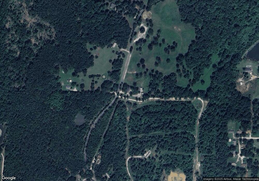
25490 Red Oak Rd Waynesville, MO 65583
Estimated Value: $260,000 - $269,000
--
Bed
--
Bath
280
Sq Ft
$946/Sq Ft
Est. Value
About This Home
This home is located at 25490 Red Oak Rd, Waynesville, MO 65583 and is currently estimated at $264,892, approximately $946 per square foot. 25490 Red Oak Rd is a home with nearby schools including Laquey R-V Elementary School, Laquey R-V Middle School, and Laquey R-V High School.
Ownership History
Date
Name
Owned For
Owner Type
Purchase Details
Closed on
Jan 26, 2018
Sold by
Bays Yvonna G
Bought by
Nelson-Brougham Cheryl L and Brougham Thomas L
Current Estimated Value
Home Financials for this Owner
Home Financials are based on the most recent Mortgage that was taken out on this home.
Original Mortgage
$136,000
Outstanding Balance
$93,614
Interest Rate
3.99%
Mortgage Type
New Conventional
Estimated Equity
$171,278
Purchase Details
Closed on
Jun 21, 2007
Sold by
Mallow Merrion A and Mallow Wanda M
Bought by
Bays Yvonna G and Bays Lynn R
Create a Home Valuation Report for This Property
The Home Valuation Report is an in-depth analysis detailing your home's value as well as a comparison with similar homes in the area
Home Values in the Area
Average Home Value in this Area
Purchase History
| Date | Buyer | Sale Price | Title Company |
|---|---|---|---|
| Nelson-Brougham Cheryl L | -- | -- | |
| Bays Yvonna G | -- | None Available |
Source: Public Records
Mortgage History
| Date | Status | Borrower | Loan Amount |
|---|---|---|---|
| Open | Nelson-Brougham Cheryl L | $136,000 |
Source: Public Records
Tax History Compared to Growth
Tax History
| Year | Tax Paid | Tax Assessment Tax Assessment Total Assessment is a certain percentage of the fair market value that is determined by local assessors to be the total taxable value of land and additions on the property. | Land | Improvement |
|---|---|---|---|---|
| 2024 | $1,142 | $27,425 | $4,942 | $22,483 |
| 2023 | $880 | $27,425 | $4,942 | $22,483 |
| 2022 | $816 | $21,159 | $4,937 | $16,222 |
| 2021 | $816 | $21,159 | $4,937 | $16,222 |
| 2020 | $792 | $22,579 | $0 | $0 |
| 2019 | $792 | $20,435 | $0 | $0 |
| 2018 | $795 | $20,466 | $0 | $0 |
| 2017 | $795 | $21,281 | $0 | $0 |
| 2016 | $795 | $20,470 | $0 | $0 |
| 2015 | -- | $20,470 | $0 | $0 |
| 2014 | $781 | $20,470 | $0 | $0 |
Source: Public Records
Map
Nearby Homes
- 000 Firehouse Dr
- 198 Firehouse Dr
- 1 Firehouse Dr
- 25570 17-770e
- 23985 Richland Ln
- 162 Lyle Curtis Cir
- 170 Lyle Curtis Cir
- 23750 Sweet Ln
- 24155 Red Oak Rd
- 126 Mary Catherine
- 9 Dogwood Dr
- 26700 Highway 17
- 21730 Rudolph Rd
- 127 Jared St
- 23623 Restore
- 128 Jared St
- 24608 Highway 17
- 21675 Sable Rd
- 27180 State Highway Nn
- 22848 Return Ln
- 25385 Red Oak Rd
- 25487 Red Oak Rd
- 0 Firehouse Dr
- 25226 Red Oak Rd
- 25507 Rocky Mount Ln
- 25540 Red Oak Rd
- 25170 Red Oak Rd
- 22965 Ranger Ln
- 25519 Rocky Mount Ln
- 22955 Ranger Ln
- 25504 Rocky Mount Ln
- 25535 Rocky Mount Ln
- 22945 Ranger Ln
- 22975 Ranger Ln
- 25545 Rocky Mount Ln
- 25555 Rocky Mount Ln
- 25520 Rocky Mount Ln
- 25625 Ranger Ln
- 22915 Ranger Ln
- 25530 Rocky Mount Ln
