25492 E 745 Rd Tahlequah, OK 74464
Estimated Value: $156,248 - $184,000
3
Beds
2
Baths
1,344
Sq Ft
$127/Sq Ft
Est. Value
About This Home
This home is located at 25492 E 745 Rd, Tahlequah, OK 74464 and is currently estimated at $170,083, approximately $126 per square foot. 25492 E 745 Rd is a home located in Cherokee County with nearby schools including Briggs Public School and Boudinot Christian School.
Ownership History
Date
Name
Owned For
Owner Type
Purchase Details
Closed on
Feb 14, 2008
Sold by
Jones Tina Marie and Etherton Dennis Wayne
Bought by
Etherton Tina Marie and Etherton Dennis Wayne
Current Estimated Value
Home Financials for this Owner
Home Financials are based on the most recent Mortgage that was taken out on this home.
Original Mortgage
$60,000
Interest Rate
5.88%
Mortgage Type
New Conventional
Purchase Details
Closed on
Nov 7, 2002
Sold by
Kevin Jones
Bought by
Tina Marie Jones
Purchase Details
Closed on
Apr 23, 1997
Sold by
Sandy Crosslin
Bought by
Doyle Tinnin
Create a Home Valuation Report for This Property
The Home Valuation Report is an in-depth analysis detailing your home's value as well as a comparison with similar homes in the area
Home Values in the Area
Average Home Value in this Area
Purchase History
| Date | Buyer | Sale Price | Title Company |
|---|---|---|---|
| Etherton Tina Marie | -- | Pioneer Abstract & Title Co | |
| Tina Marie Jones | -- | -- | |
| Doyle Tinnin | $45,000 | -- |
Source: Public Records
Mortgage History
| Date | Status | Borrower | Loan Amount |
|---|---|---|---|
| Closed | Etherton Tina Marie | $60,000 |
Source: Public Records
Tax History Compared to Growth
Tax History
| Year | Tax Paid | Tax Assessment Tax Assessment Total Assessment is a certain percentage of the fair market value that is determined by local assessors to be the total taxable value of land and additions on the property. | Land | Improvement |
|---|---|---|---|---|
| 2025 | $718 | $9,994 | $843 | $9,151 |
| 2024 | $718 | $9,703 | $818 | $8,885 |
| 2023 | $718 | $9,420 | $825 | $8,595 |
| 2022 | $696 | $9,146 | $801 | $8,345 |
| 2021 | $622 | $8,880 | $778 | $8,102 |
| 2020 | $604 | $8,621 | $755 | $7,866 |
| 2019 | $589 | $8,370 | $836 | $7,534 |
| 2018 | $578 | $8,127 | $811 | $7,316 |
| 2017 | $563 | $7,890 | $599 | $7,291 |
| 2016 | $548 | $7,661 | $708 | $6,953 |
| 2015 | $432 | $7,438 | $661 | $6,777 |
| 2014 | $432 | $7,221 | $661 | $6,560 |
Source: Public Records
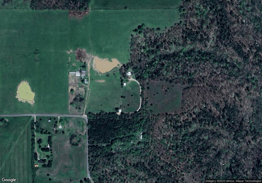
Map
Nearby Homes
- 17022 S 579 Rd
- 24500 E 741 Rd
- 81134 S 4720 Rd
- 81118 S 4725 Rd
- 469581 E 815 Rd
- 14554 N 603 Rd
- 25182 E 770 Rd
- 8147 N 544 Rd
- 26986 Highway 51
- 0 S Cary Ln
- 461685 E 770 Rd
- 22678 Sunrise Ridge Dr
- 0 Alder Way
- 202 Alder Way
- 206 Alder Way
- 912 Summit Ridge Ct
- 105 Summit Ridge Dr
- 000 S 590 Road and 785 Rd E
- 0000 E Salvation Rd
- 16527 N Highway 10