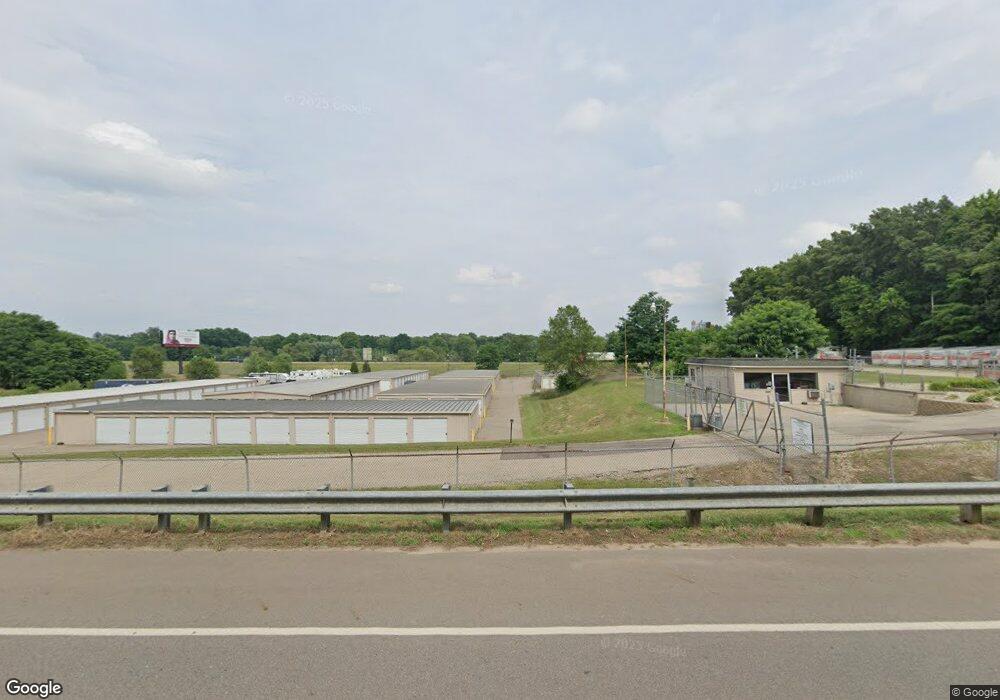
255 12th St Plainwell, MI 49080
Estimated Value: $963,386
Studio
--
Bath
25,834
Sq Ft
$37/Sq Ft
Est. Value
About This Home
This home is located at 255 12th St, Plainwell, MI 49080 and is currently estimated at $963,386, approximately $37 per square foot. 255 12th St is a home located in Allegan County with nearby schools including Otsego High School and Otsego Christian Academy.
Ownership History
Date
Name
Owned For
Owner Type
Purchase Details
Closed on
Aug 28, 2006
Sold by
Morren James R and Revocable Trust Of James R Mor
Bought by
Lightpoint Holdings Llc
Current Estimated Value
Purchase Details
Closed on
Nov 29, 2001
Sold by
Labus Michael E and Labus Nancy L
Bought by
The Revocable Grantor Tr Of James R Morr
Purchase Details
Closed on
Aug 3, 1998
Sold by
Wedge Douglas E
Bought by
Labus Michael and Labus Nancy
Create a Home Valuation Report for This Property
The Home Valuation Report is an in-depth analysis detailing your home's value as well as a comparison with similar homes in the area
Home Values in the Area
Average Home Value in this Area
Purchase History
| Date | Buyer | Sale Price | Title Company |
|---|---|---|---|
| Lightpoint Holdings Llc | $340,000 | Metropolitan Title Company | |
| The Revocable Grantor Tr Of James R Morr | -- | Chicago Title Of Michigan In | |
| Labus Michael | $400,000 | -- |
Source: Public Records
Tax History
| Year | Tax Paid | Tax Assessment Tax Assessment Total Assessment is a certain percentage of the fair market value that is determined by local assessors to be the total taxable value of land and additions on the property. | Land | Improvement |
|---|---|---|---|---|
| 2025 | $10,923 | $280,200 | $80,000 | $200,200 |
| 2024 | $9,296 | $280,200 | $80,000 | $200,200 |
| 2023 | $9,406 | $270,600 | $80,000 | $190,600 |
| 2022 | $9,296 | $255,900 | $72,300 | $183,600 |
| 2021 | $8,891 | $252,700 | $64,000 | $188,700 |
| 2020 | $8,744 | $273,200 | $76,000 | $197,200 |
| 2019 | $8,623 | $251,900 | $80,000 | $171,900 |
| 2018 | $8,465 | $248,700 | $80,000 | $168,700 |
| 2017 | $0 | $199,100 | $17,200 | $181,900 |
| 2016 | $0 | $168,500 | $16,400 | $152,100 |
| 2015 | -- | $168,500 | $16,400 | $152,100 |
| 2014 | $11,236 | $166,100 | $16,400 | $149,700 |
| 2013 | $11,236 | $239,200 | $80,300 | $158,900 |
Source: Public Records
Map
Nearby Homes
- 1170 W Bridge St
- 1224 102nd Ave
- 355 12th St
- 551 W Bridge St
- 1248 Keith St
- 426 W Bridge St
- 323 13th St
- 1056 Elmwood St
- 404 Park St
- 1046 Bronson Ave
- V/L Bronson Ave
- 140 W 1st Ave
- 1006 Goodsell St
- 317 E Chart St
- 1009 Barton St
- 909 Barton St
- 233 Washington Ave
- 10809 N 12th St
- 721 E Bridge St
- 1036 Sir Knight Rd
Your Personal Tour Guide
Ask me questions while you tour the home.