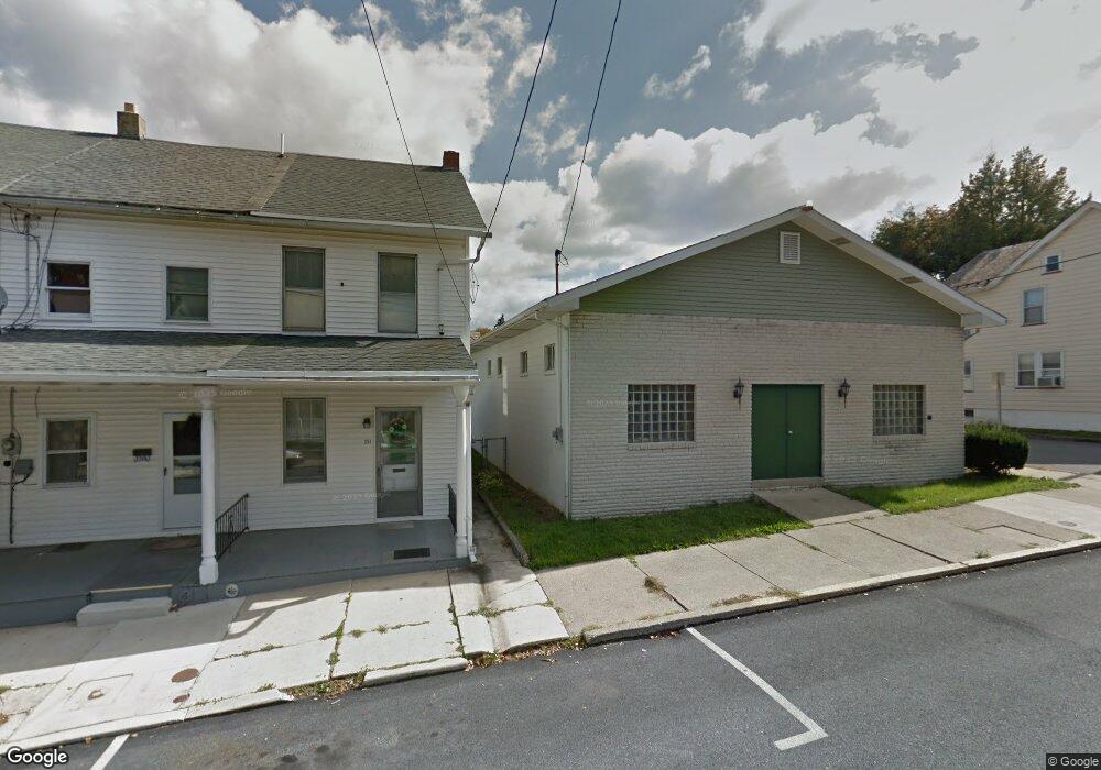
255 2nd St Slatington, PA 18080
Estimated Value: $246,298
--
Bed
--
Bath
2,720
Sq Ft
$91/Sq Ft
Est. Value
About This Home
This home is located at 255 2nd St, Slatington, PA 18080 and is currently estimated at $246,298, approximately $90 per square foot. 255 2nd St is a home located in Lehigh County with nearby schools including Deep Creek Central Elementary School, Grassfield Elementary School, and Slatington Elementary School.
Ownership History
Date
Name
Owned For
Owner Type
Purchase Details
Closed on
Apr 25, 2022
Sold by
V And S Land Llc
Bought by
Eli Siegel-Martha Baird Foundation Inc
Current Estimated Value
Purchase Details
Closed on
Jan 29, 2019
Sold by
Bmr Real Estate Llc
Bought by
V And S Land Llc
Home Financials for this Owner
Home Financials are based on the most recent Mortgage that was taken out on this home.
Original Mortgage
$78,320
Interest Rate
4.6%
Mortgage Type
Future Advance Clause Open End Mortgage
Purchase Details
Closed on
Apr 28, 2017
Sold by
Defrain Raymond M and Defrain David L
Bought by
Bmr Real Estate Llc
Purchase Details
Closed on
May 15, 1971
Bought by
Defrain Gladys M
Create a Home Valuation Report for This Property
The Home Valuation Report is an in-depth analysis detailing your home's value as well as a comparison with similar homes in the area
Home Values in the Area
Average Home Value in this Area
Purchase History
| Date | Buyer | Sale Price | Title Company |
|---|---|---|---|
| Eli Siegel-Martha Baird Foundation Inc | $210,000 | First United Land Transfer | |
| V And S Land Llc | $97,900 | Wetzel Abstract Llc | |
| Bmr Real Estate Llc | $80,000 | Penn Title Company | |
| Defrain Gladys M | $2,700 | -- |
Source: Public Records
Mortgage History
| Date | Status | Borrower | Loan Amount |
|---|---|---|---|
| Previous Owner | V And S Land Llc | $78,320 |
Source: Public Records
Tax History Compared to Growth
Tax History
| Year | Tax Paid | Tax Assessment Tax Assessment Total Assessment is a certain percentage of the fair market value that is determined by local assessors to be the total taxable value of land and additions on the property. | Land | Improvement |
|---|---|---|---|---|
| 2025 | $5,655 | $149,800 | $13,200 | $136,600 |
| 2024 | $5,415 | $149,800 | $13,200 | $136,600 |
| 2023 | $5,100 | $149,800 | $13,200 | $136,600 |
| 2022 | $5,025 | $149,800 | $136,600 | $13,200 |
| 2021 | $4,872 | $149,800 | $13,200 | $136,600 |
| 2020 | $4,733 | $149,800 | $13,200 | $136,600 |
| 2019 | $4,629 | $149,800 | $13,200 | $136,600 |
| 2018 | $4,536 | $149,800 | $13,200 | $136,600 |
| 2017 | $4,518 | $149,800 | $13,200 | $136,600 |
| 2016 | -- | $149,800 | $13,200 | $136,600 |
| 2015 | -- | $149,800 | $13,200 | $136,600 |
| 2014 | -- | $149,800 | $13,200 | $136,600 |
Source: Public Records
Map
Nearby Homes