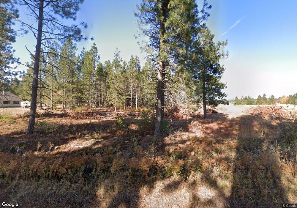
255 Bates Rd White Salmon, WA 98672
Estimated Value: $659,000 - $861,000
2
Beds
2
Baths
1,760
Sq Ft
$447/Sq Ft
Est. Value
About This Home
This home is located at 255 Bates Rd, White Salmon, WA 98672 and is currently estimated at $785,928, approximately $446 per square foot. 255 Bates Rd is a home located in Klickitat County with nearby schools including Hulan L. Whitson Elementary School, Wallace & Priscilla Stevenson Intermediate School, and Wayne M. Henkle Middle School.
Ownership History
Date
Name
Owned For
Owner Type
Purchase Details
Closed on
Dec 17, 2012
Sold by
Owen Julie K and Talman Neal G
Bought by
Owen Julie K and Julie K Owen Heritage Trust
Current Estimated Value
Create a Home Valuation Report for This Property
The Home Valuation Report is an in-depth analysis detailing your home's value as well as a comparison with similar homes in the area
Home Values in the Area
Average Home Value in this Area
Purchase History
| Date | Buyer | Sale Price | Title Company |
|---|---|---|---|
| Owen Julie K | -- | None Available | |
| Balsiger Henry L | -- | -- |
Source: Public Records
Tax History Compared to Growth
Tax History
| Year | Tax Paid | Tax Assessment Tax Assessment Total Assessment is a certain percentage of the fair market value that is determined by local assessors to be the total taxable value of land and additions on the property. | Land | Improvement |
|---|---|---|---|---|
| 2025 | $5,701 | $666,690 | $255,190 | $411,500 |
| 2023 | $5,701 | $534,640 | $195,140 | $339,500 |
| 2022 | $4,374 | $396,040 | $140,140 | $255,900 |
| 2021 | $4,580 | $410,470 | $162,370 | $248,100 |
| 2020 | $4,223 | $370,420 | $119,620 | $250,800 |
| 2018 | $4,110 | $386,420 | $119,620 | $266,800 |
| 2017 | $3,641 | $386,720 | $119,620 | $267,100 |
| 2016 | $3,696 | $367,620 | $119,620 | $248,000 |
| 2015 | $3,547 | $367,620 | $119,620 | $248,000 |
| 2013 | $3,547 | $366,520 | $115,620 | $250,900 |
Source: Public Records
Map
Nearby Homes
- 0 Snowden Rd Unit 287630705
- 55 Pyatt Rd
- 0 Kida Rd Unit 4 536876631
- 0 Kida Rd Unit 3 609997156
- 0 Kida Rd Unit 2 229478832
- 59 Tunnel Rd
- 96 Pearce Rd
- 8 Meadowlark Ln
- 15 Brookside Dr
- 121 Cooke Rd
- 101 Cooke Rd
- 160 Major Creek Rd
- 143 Acme Rd
- 34 Jewett Creek Loop Rd
- 961 Snowden Rd
- 80 Echo Glen Rd
- 590 NE Spring St
- 0 Lot 2 Plantation Dr Unit 24247938
- 113 Ingram Place
- 0 E Franklin St
