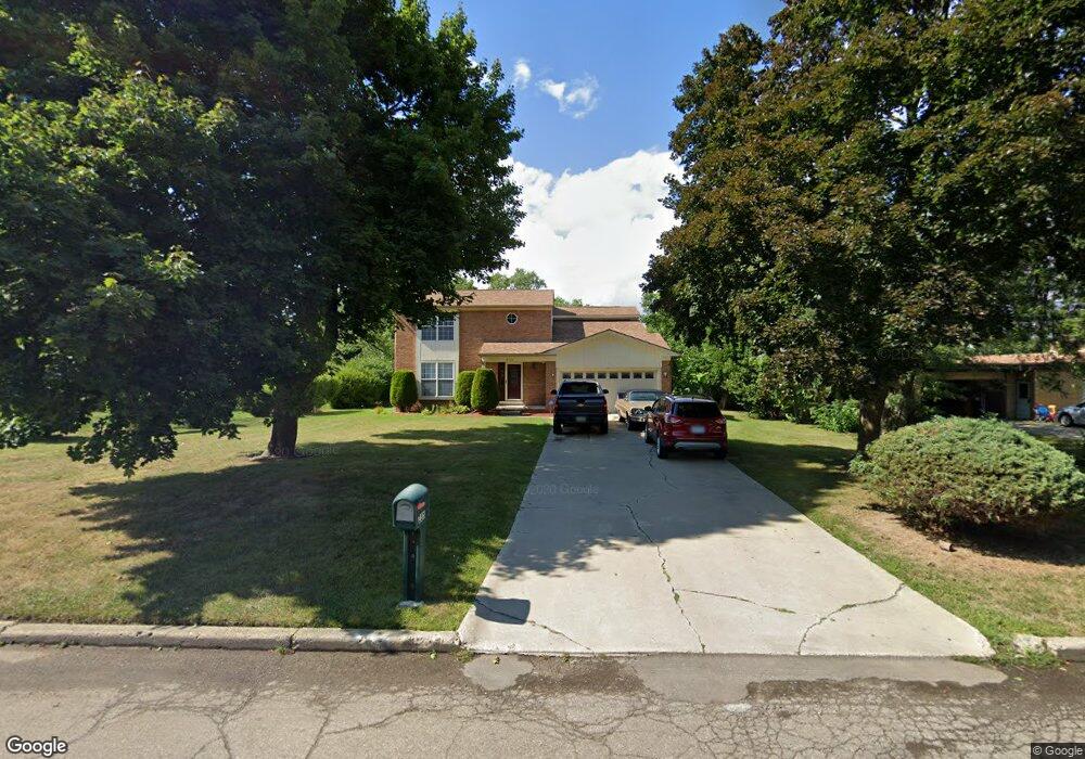
255 Bloomfield Blvd Bloomfield Hills, MI 48302
Estimated Value: $434,000 - $471,000
4
Beds
3
Baths
2,108
Sq Ft
$215/Sq Ft
Est. Value
About This Home
This home is located at 255 Bloomfield Blvd, Bloomfield Hills, MI 48302 and is currently estimated at $453,096, approximately $214 per square foot. 255 Bloomfield Blvd is a home located in Oakland County with nearby schools including Eastover Elementary School, Bloomfield Hills High School, and Arts & Technology Academy of Pontiac.
Ownership History
Date
Name
Owned For
Owner Type
Purchase Details
Closed on
Oct 28, 2005
Sold by
Ehrman Steven James and Ehrman Vivian V
Bought by
Lynch Derek and Lynch Stephanie
Current Estimated Value
Home Financials for this Owner
Home Financials are based on the most recent Mortgage that was taken out on this home.
Original Mortgage
$59,000
Interest Rate
5.98%
Mortgage Type
Stand Alone Second
Purchase Details
Closed on
Jun 18, 1996
Sold by
United Home Bldrs Inc
Bought by
Ehrman Steven James
Purchase Details
Closed on
Jul 19, 1995
Sold by
Muniz Henry E
Bought by
United Homes Bldrs Inc
Create a Home Valuation Report for This Property
The Home Valuation Report is an in-depth analysis detailing your home's value as well as a comparison with similar homes in the area
Home Values in the Area
Average Home Value in this Area
Purchase History
| Date | Buyer | Sale Price | Title Company |
|---|---|---|---|
| Lynch Derek | $295,000 | Interstate Title Inc | |
| Ehrman Steven James | $184,900 | -- | |
| United Homes Bldrs Inc | $36,500 | -- |
Source: Public Records
Mortgage History
| Date | Status | Borrower | Loan Amount |
|---|---|---|---|
| Closed | Lynch Derek | $59,000 | |
| Previous Owner | Lynch Derek | $236,000 | |
| Closed | United Homes Bldrs Inc | $0 |
Source: Public Records
Tax History Compared to Growth
Tax History
| Year | Tax Paid | Tax Assessment Tax Assessment Total Assessment is a certain percentage of the fair market value that is determined by local assessors to be the total taxable value of land and additions on the property. | Land | Improvement |
|---|---|---|---|---|
| 2024 | $1,564 | $210,790 | $0 | $0 |
| 2023 | $1,514 | $172,440 | $0 | $0 |
| 2022 | $4,313 | $158,270 | $0 | $0 |
| 2021 | $4,490 | $109,850 | $0 | $0 |
| 2020 | $1,385 | $113,550 | $0 | $0 |
| 2019 | $4,113 | $124,980 | $0 | $0 |
| 2018 | $3,996 | $116,600 | $0 | $0 |
| 2017 | $4,105 | $114,060 | $0 | $0 |
| 2016 | $4,138 | $113,330 | $0 | $0 |
| 2015 | -- | $111,470 | $0 | $0 |
| 2014 | -- | $92,030 | $0 | $0 |
| 2011 | -- | $62,230 | $0 | $0 |
Source: Public Records
Map
Nearby Homes
- 00 S Berkshire
- 95 Hillsdale Rd
- 200 Cedardale Ave
- 583 Going St
- 200 Astorwood St
- 323 Ferry Ave
- 2449 Mulberry Square Unit 31
- 2383 Mulberry Square Unit 72
- 2449 Mulberry Square Unit 28
- 465 S Marshall St
- 2442 Mulberry Square Unit 36
- 447 S Marshall St
- 440 Martin Luther King Junior Blvd S
- 2665 Lahser Rd
- 567 Highland Ave
- 209 Ferry Ave
- 317 Prospect St
- 363 Sycamore Ct
- 371 Nebraska Ave
- 472 S Jessie St
- 241 Bloomfield Blvd
- 271 Bloomfield Blvd
- 284 Alice Ave
- 300 Alica
- 254 Alice Ave
- 300 Alice Ave
- 225 Bloomfield Blvd
- 250 Alice Ave
- 256 Bloomfield Blvd
- 277 Alice Ave
- 288 Bloomfield Blvd
- 240 Bloomfield Blvd
- 289 Alice Ave
- 263 Alice Ave
- 209 Bloomfield Blvd
- 255 Alice Ave
- 224 Bloomfield Blvd
- 230 Alice Ave
- 249 Alice Ave
- 208 Bloomfield Blvd