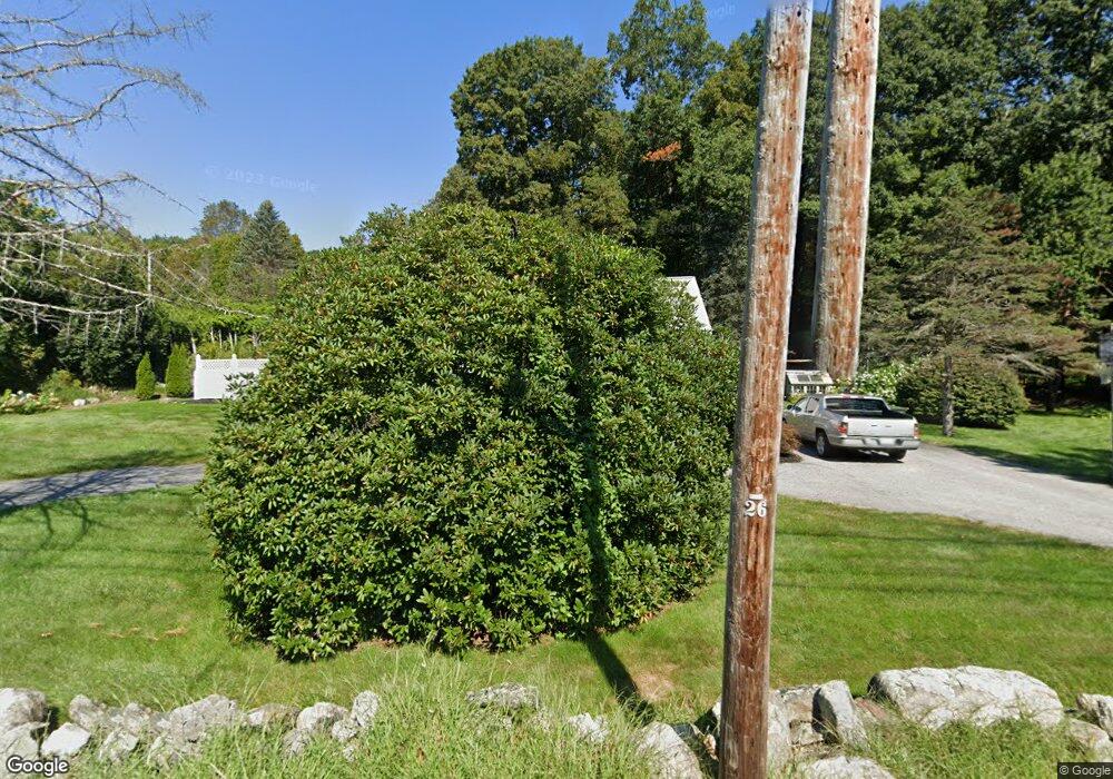
255 Brigham St Marlborough, MA 01752
Estimated Value: $632,735 - $669,000
3
Beds
3
Baths
1,488
Sq Ft
$437/Sq Ft
Est. Value
About This Home
This home is located at 255 Brigham St, Marlborough, MA 01752 and is currently estimated at $649,684, approximately $436 per square foot. 255 Brigham St is a home located in Middlesex County with nearby schools including Marlborough High School, Advanced Math & Science Academy, and New Covenant Christian School.
Ownership History
Date
Name
Owned For
Owner Type
Purchase Details
Closed on
Aug 7, 2014
Sold by
Vigeant Ft
Bought by
Plummer Eric P and Plummer Dianne K
Current Estimated Value
Home Financials for this Owner
Home Financials are based on the most recent Mortgage that was taken out on this home.
Original Mortgage
$256,000
Outstanding Balance
$195,418
Interest Rate
4.14%
Mortgage Type
New Conventional
Estimated Equity
$454,266
Purchase Details
Closed on
Aug 29, 2008
Sold by
Vigeant Anne C and Vigeant Arthur H
Bought by
Vigeant Tr Anne C and Vigeant Arthur G
Create a Home Valuation Report for This Property
The Home Valuation Report is an in-depth analysis detailing your home's value as well as a comparison with similar homes in the area
Home Values in the Area
Average Home Value in this Area
Purchase History
| Date | Buyer | Sale Price | Title Company |
|---|---|---|---|
| Plummer Eric P | $320,000 | -- | |
| Vigeant Tr Anne C | -- | -- |
Source: Public Records
Mortgage History
| Date | Status | Borrower | Loan Amount |
|---|---|---|---|
| Open | Plummer Eric P | $256,000 |
Source: Public Records
Tax History Compared to Growth
Tax History
| Year | Tax Paid | Tax Assessment Tax Assessment Total Assessment is a certain percentage of the fair market value that is determined by local assessors to be the total taxable value of land and additions on the property. | Land | Improvement |
|---|---|---|---|---|
| 2025 | $5,412 | $548,900 | $240,100 | $308,800 |
| 2024 | $5,134 | $501,400 | $218,300 | $283,100 |
| 2023 | $5,329 | $461,800 | $189,100 | $272,700 |
| 2022 | $5,136 | $391,500 | $180,400 | $211,100 |
| 2021 | $6,450 | $372,000 | $150,800 | $221,200 |
| 2020 | $5,040 | $355,400 | $143,800 | $211,600 |
| 2019 | $4,919 | $349,600 | $141,200 | $208,400 |
| 2018 | $4,900 | $334,900 | $130,300 | $204,600 |
| 2017 | $4,818 | $314,500 | $132,500 | $182,000 |
| 2016 | $4,742 | $309,100 | $132,500 | $176,600 |
| 2015 | $4,813 | $305,400 | $136,200 | $169,200 |
Source: Public Records
Map
Nearby Homes
- 237 Brigham St
- 105 Fisher Rd
- 181 Morrissey Rd
- 68 River St
- 58 Walker St
- 56 Walker St
- 379 Stearns Rd
- 43 Stearns Rd
- 38 Gleason Street Extension
- 149 Clover Hill St
- lot 1 Sears Rd
- 56 Sears Rd
- 00 Plymouth St
- 57 Neil St
- 28 Broad St Unit 203
- 30 Broad St Unit 104
- 8 Saint Mary's Way Unit 8
- 150 Framingham Rd
- 32 Water St
- 11 Paris St
