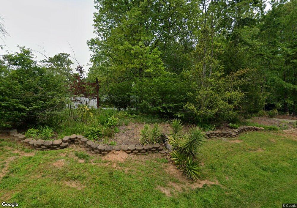
255 Cap Fry Dr Demorest, GA 30535
Estimated Value: $409,509 - $517,000
3
Beds
2
Baths
2,256
Sq Ft
$206/Sq Ft
Est. Value
About This Home
This home is located at 255 Cap Fry Dr, Demorest, GA 30535 and is currently estimated at $465,377, approximately $206 per square foot. 255 Cap Fry Dr is a home located in Habersham County with nearby schools including Demorest Elementary School, Wilbanks Middle School, and Habersham Success Academy.
Ownership History
Date
Name
Owned For
Owner Type
Purchase Details
Closed on
Jun 28, 2024
Sold by
Moody Sarah Beth
Bought by
Bagwell Jacob E and Bagwell April C
Current Estimated Value
Home Financials for this Owner
Home Financials are based on the most recent Mortgage that was taken out on this home.
Original Mortgage
$130,000
Outstanding Balance
$128,459
Interest Rate
7.03%
Mortgage Type
New Conventional
Estimated Equity
$336,918
Purchase Details
Closed on
Jun 1, 2007
Sold by
Not Provided
Bought by
Bochat Jodie L and Bochat Kevin R
Create a Home Valuation Report for This Property
The Home Valuation Report is an in-depth analysis detailing your home's value as well as a comparison with similar homes in the area
Home Values in the Area
Average Home Value in this Area
Purchase History
| Date | Buyer | Sale Price | Title Company |
|---|---|---|---|
| Bagwell Jacob E | $430,000 | -- | |
| Bochat Jodie L | $196,000 | -- |
Source: Public Records
Mortgage History
| Date | Status | Borrower | Loan Amount |
|---|---|---|---|
| Open | Bagwell Jacob E | $130,000 |
Source: Public Records
Tax History Compared to Growth
Tax History
| Year | Tax Paid | Tax Assessment Tax Assessment Total Assessment is a certain percentage of the fair market value that is determined by local assessors to be the total taxable value of land and additions on the property. | Land | Improvement |
|---|---|---|---|---|
| 2025 | $4,260 | $176,351 | $28,342 | $148,009 |
| 2024 | $4,591 | $176,896 | $14,828 | $162,068 |
| 2023 | $3,859 | $148,696 | $14,828 | $133,868 |
| 2022 | $3,378 | $129,536 | $14,828 | $114,708 |
| 2021 | $2,596 | $111,492 | $9,268 | $102,224 |
| 2020 | $1,852 | $70,788 | $9,268 | $61,520 |
| 2019 | $1,854 | $70,788 | $9,268 | $61,520 |
| 2018 | $1,891 | $70,788 | $9,268 | $61,520 |
| 2017 | $1,707 | $63,560 | $7,412 | $56,148 |
| 2016 | $1,657 | $158,900 | $7,412 | $56,148 |
| 2015 | $1,638 | $158,900 | $7,412 | $56,148 |
| 2014 | $1,631 | $155,340 | $7,412 | $54,724 |
| 2013 | -- | $62,136 | $7,412 | $54,724 |
Source: Public Records
Map
Nearby Homes
- 129 Rockwind Way
- 180 Springbrook Dr
- 950 Hancock Rd
- 161 Springbrook Dr
- 3750 Old Cleveland Rd
- 159 Hardyville Cir
- 274 Hopes Cir
- 441 Spiral Hills Dr
- 445 Spiral Hills Dr
- 451 Spiral Hills Dr
- Plan 2131 at Habersham Meadows
- Plan 1709 at Habersham Meadows
- Plan 2307 at Habersham Meadows
- Plan 1902 at Habersham Meadows
- Plan 3119 at Habersham Meadows
- Plan 2408 at Habersham Meadows
- Plan 2100 at Habersham Meadows
- Plan 2628 at Habersham Meadows
- Plan 3105 at Habersham Meadows
- Plan 2121 at Habersham Meadows
- 255 Cap Fry Rd
- 191 Cap Fry Dr
- 200 Cap Fry Dr
- 146 Taylor Trail Dr
- 284 Cap Fry Dr
- 1075 Cannon Bridge Rd
- 159 Robin Ln
- 1072 Cannon Bridge Rd
- 1129 Cannon Bridge Rd
- 278 Christy Way
- 233 Robin Ln
- 250 Christy Way
- 257 Robin Ln
- 207 Christy Way
- 105 Squirrel Trail
- 817 Cannon Bridge Rd
- 265 Robin Ln
- 112 Stonebrook Dr
- 213 Bike Ln
- 1135 Cannon Bridge Rd
