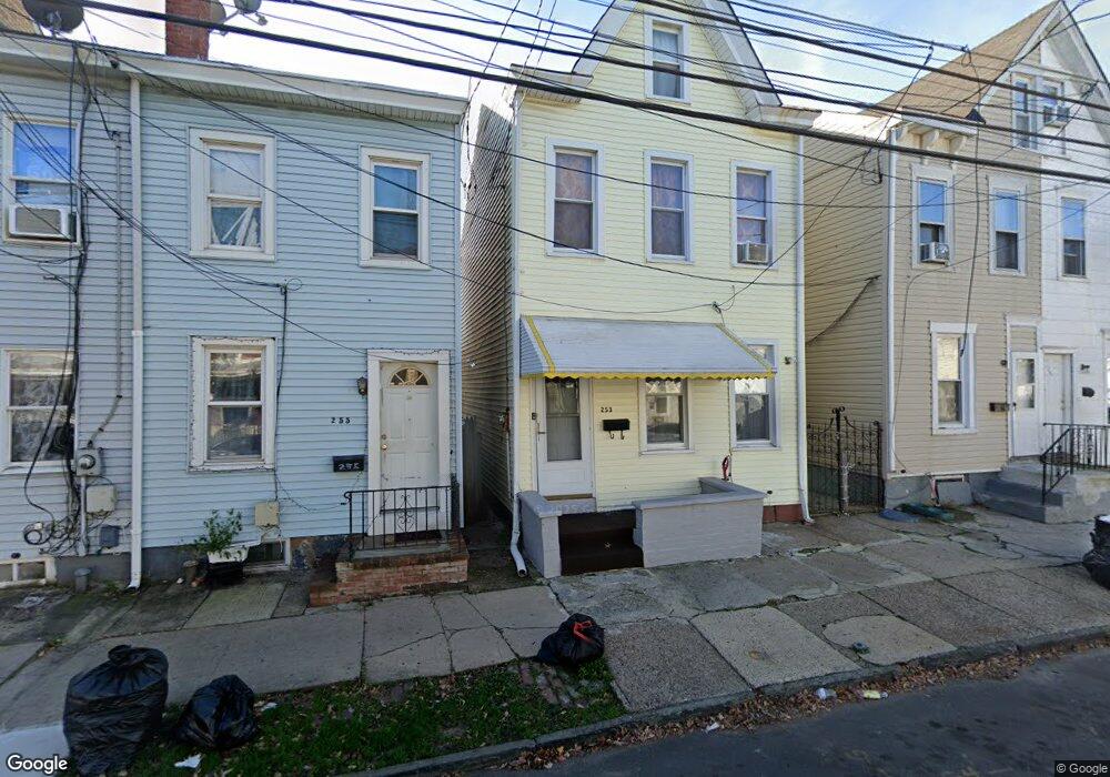
255 Cummings Ave Trenton, NJ 08611
Chambersburg NeighborhoodEstimated Value: $130,844 - $170,000
--
Bed
--
Bath
837
Sq Ft
$187/Sq Ft
Est. Value
About This Home
This home is located at 255 Cummings Ave, Trenton, NJ 08611 and is currently estimated at $156,711, approximately $187 per square foot. 255 Cummings Ave is a home located in Mercer County with nearby schools including Washington Elementary School, Grace A Dunn Middle School, and Hedgepeth-Williams Elementary School.
Ownership History
Date
Name
Owned For
Owner Type
Purchase Details
Closed on
Oct 22, 2013
Sold by
255 Cummings Land Trust
Bought by
1951 N Olden Ave Llc
Current Estimated Value
Home Financials for this Owner
Home Financials are based on the most recent Mortgage that was taken out on this home.
Original Mortgage
$1,438,510
Interest Rate
4.4%
Mortgage Type
Purchase Money Mortgage
Purchase Details
Closed on
Jan 25, 2010
Sold by
Oconnor Bernard Dennis
Bought by
255 Cummings Land Trust
Purchase Details
Closed on
May 27, 1998
Sold by
Landolfi Patsy
Bought by
O'Connor Bernard
Home Financials for this Owner
Home Financials are based on the most recent Mortgage that was taken out on this home.
Original Mortgage
$28,500
Interest Rate
7.04%
Create a Home Valuation Report for This Property
The Home Valuation Report is an in-depth analysis detailing your home's value as well as a comparison with similar homes in the area
Home Values in the Area
Average Home Value in this Area
Purchase History
| Date | Buyer | Sale Price | Title Company |
|---|---|---|---|
| 1951 N Olden Ave Llc | -- | None Available | |
| 255 Cummings Land Trust | $27,000 | Fidelity Natl Title Ins Co | |
| O'Connor Bernard | $34,500 | -- |
Source: Public Records
Mortgage History
| Date | Status | Borrower | Loan Amount |
|---|---|---|---|
| Previous Owner | 1951 N Olden Ave Llc | $1,438,510 | |
| Previous Owner | O'Connor Bernard | $28,500 |
Source: Public Records
Tax History Compared to Growth
Tax History
| Year | Tax Paid | Tax Assessment Tax Assessment Total Assessment is a certain percentage of the fair market value that is determined by local assessors to be the total taxable value of land and additions on the property. | Land | Improvement |
|---|---|---|---|---|
| 2025 | $2,251 | $38,800 | $9,100 | $29,700 |
| 2024 | $2,160 | $38,800 | $9,100 | $29,700 |
| 2023 | $2,160 | $38,800 | $9,100 | $29,700 |
| 2022 | $2,118 | $38,800 | $9,100 | $29,700 |
| 2021 | $2,155 | $38,800 | $9,100 | $29,700 |
| 2020 | $2,148 | $38,800 | $9,100 | $29,700 |
| 2019 | $2,113 | $38,800 | $9,100 | $29,700 |
| 2018 | $2,023 | $38,800 | $9,100 | $29,700 |
| 2017 | $1,923 | $38,800 | $9,100 | $29,700 |
| 2016 | $2,583 | $44,900 | $17,200 | $27,700 |
| 2015 | $2,574 | $44,900 | $17,200 | $27,700 |
| 2014 | $2,562 | $44,900 | $17,200 | $27,700 |
Source: Public Records
Map
Nearby Homes
- 150 Ashmore Ave
- 724 Division St
- 327 Woodland St
- 11 Cummings Ave
- 1447 S Clinton Ave
- 978 S Broad St
- 225 Franklin St
- 207 Howell St
- 1521 S Clinton Ave
- 414 Commonwealth Ave
- 211 Elm St
- 113 Mifflin St
- 127 Kent St
- 508 Dayton St
- 826 S Clinton Ave
- 320 Commonwealth Ave
- 1304 S Broad St
- 1306 S Broad St
- 922 Adeline St
- 1308 S Broad St
- 257 Cummings Ave
- 259 Cummings Ave
- 261 Cummings Ave
- 253 Cummings Ave
- 263 Cummings Ave
- 251 Cummings Ave
- 265 Cummings Ave
- 249 Cummings Ave
- 623 Anderson St
- 267 Cummings Ave
- 625 Anderson St
- 246 Hewitt St
- 246 Hewitt St Unit AFT
- 627 Anderson St
- 244 Hewitt St
- 242 Hewitt St
- 238 Hewitt St
- 629 Anderson St
- 246 -AFT Hewitt St
- 237 Cummings Ave