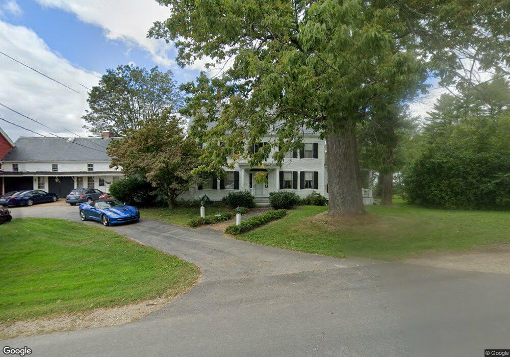
255 Depot Rd Eliot, ME 03903
East Eliot NeighborhoodEstimated Value: $368,000 - $855,000
5
Beds
5
Baths
5,574
Sq Ft
$124/Sq Ft
Est. Value
About This Home
This home is located at 255 Depot Rd, Eliot, ME 03903 and is currently estimated at $693,173, approximately $124 per square foot. 255 Depot Rd is a home located in York County with nearby schools including Marshwood High School and Seacoast Waldorf School.
Ownership History
Date
Name
Owned For
Owner Type
Purchase Details
Closed on
Oct 9, 2025
Sold by
Helen E Sullivan Ret and Sullivan
Bought by
Goransson Paul and Goransson Helen
Current Estimated Value
Purchase Details
Closed on
Oct 8, 2025
Sold by
Mary S Tessmer Ret and Tessmer
Bought by
Goransson Paul and Goransson Helen
Purchase Details
Closed on
Mar 30, 2021
Sold by
Goransson Paul and Goransson Helen
Bought by
Bondgarden
Purchase Details
Closed on
May 23, 2016
Sold by
Helen E Sullivan Ret and Sullivan
Bought by
Goransson Paul and Goransson Hlen
Create a Home Valuation Report for This Property
The Home Valuation Report is an in-depth analysis detailing your home's value as well as a comparison with similar homes in the area
Home Values in the Area
Average Home Value in this Area
Purchase History
| Date | Buyer | Sale Price | Title Company |
|---|---|---|---|
| Goransson Paul | $250,000 | -- | |
| Goransson Paul | $125,000 | -- | |
| Goransson Paul | $125,000 | -- | |
| Bondgarden | -- | None Available | |
| Goransson Paul | -- | -- |
Source: Public Records
Tax History
| Year | Tax Paid | Tax Assessment Tax Assessment Total Assessment is a certain percentage of the fair market value that is determined by local assessors to be the total taxable value of land and additions on the property. | Land | Improvement |
|---|---|---|---|---|
| 2024 | $6,526 | $550,700 | $136,000 | $414,700 |
| 2023 | $6,491 | $529,900 | $129,600 | $400,300 |
| 2022 | $6,405 | $529,300 | $129,600 | $399,700 |
| 2021 | $6,853 | $507,600 | $118,300 | $389,300 |
| 2020 | $7,366 | $501,100 | $112,900 | $388,200 |
| 2019 | $7,366 | $501,100 | $112,900 | $388,200 |
| 2018 | $7,366 | $501,100 | $112,900 | $388,200 |
| 2017 | $7,166 | $501,100 | $112,900 | $388,200 |
| 2016 | $7,011 | $499,000 | $110,800 | $388,200 |
Source: Public Records
Map
Nearby Homes
- 65 Wildbrook Ln
- 25 Heritage Dr
- 390 Goodwin Rd
- 116 Heron Cove Rd
- 25 Fosters Dr
- 220 Dover Point Rd
- 6 Isaac Lucas Cir
- 11 Ayers Ln
- Lot 4 Stonecrop Farm Ln
- 19 Bayberry Dr
- Lot 1 Brixham (Stonecrop Farm Lot 1) Rd
- 296 Dow Hwy
- 25 Schooner Dr
- 60 Pine Hill Rd S Unit 315
- 21 Clearwater Dr
- Slip B18 Little Bay
- 4 Bhoireann Ln
- 3 Bhoireann Ln
- 42 Caslyn Dr
- 0 Cote Dr Unit 55B
Your Personal Tour Guide
Ask me questions while you tour the home.