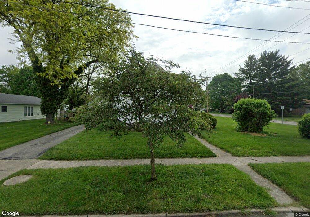
255 Eberly Ave Bowling Green, OH 43402
Estimated Value: $122,358 - $262,000
Studio
--
Bath
--
Sq Ft
5,184
Sq Ft
About This Home
This home is located at 255 Eberly Ave, Bowling Green, OH 43402 and is currently estimated at $172,840. 255 Eberly Ave is a home located in Wood County with nearby schools including Bowling Green High School, Montessori School Of Bowling Green, and Bowling Green Christian Academy.
Ownership History
Date
Name
Owned For
Owner Type
Purchase Details
Closed on
May 29, 2009
Sold by
Vanvorhis Daniel J and Vanvorhis Dan
Bought by
Black Swamp Investment Properties Ltd
Current Estimated Value
Purchase Details
Closed on
Jan 6, 2006
Sold by
Synnamon James H
Bought by
Vanvorhis Daniel
Home Financials for this Owner
Home Financials are based on the most recent Mortgage that was taken out on this home.
Original Mortgage
$103,410
Interest Rate
7.2%
Mortgage Type
Fannie Mae Freddie Mac
Purchase Details
Closed on
Jan 1, 1990
Bought by
Synnamon James H
Create a Home Valuation Report for This Property
The Home Valuation Report is an in-depth analysis detailing your home's value as well as a comparison with similar homes in the area
Home Values in the Area
Average Home Value in this Area
Purchase History
| Date | Buyer | Sale Price | Title Company |
|---|---|---|---|
| Black Swamp Investment Properties Ltd | -- | American Title Agency | |
| Vanvorhis Daniel | -- | None Available | |
| Vanvorhis Daniel | $114,900 | None Available | |
| Synnamon James H | -- | -- |
Source: Public Records
Mortgage History
| Date | Status | Borrower | Loan Amount |
|---|---|---|---|
| Previous Owner | Vanvorhis Daniel | $103,410 |
Source: Public Records
Tax History
| Year | Tax Paid | Tax Assessment Tax Assessment Total Assessment is a certain percentage of the fair market value that is determined by local assessors to be the total taxable value of land and additions on the property. | Land | Improvement |
|---|---|---|---|---|
| 2025 | $316 | $7,140 | $5,670 | $1,470 |
| 2024 | $315 | $7,140 | $5,670 | $1,470 |
| 2023 | $315 | $7,140 | $5,670 | $1,470 |
| 2021 | $227 | $5,110 | $3,780 | $1,330 |
| 2020 | $227 | $5,110 | $3,780 | $1,330 |
| 2019 | $226 | $4,830 | $3,780 | $1,050 |
| 2018 | $224 | $4,830 | $3,780 | $1,050 |
| 2017 | $228 | $4,830 | $3,780 | $1,050 |
| 2016 | $230 | $4,940 | $3,780 | $1,160 |
| 2015 | $230 | $4,940 | $3,780 | $1,160 |
| 2014 | $237 | $4,940 | $3,780 | $1,160 |
| 2013 | $255 | $4,940 | $3,780 | $1,160 |
Source: Public Records
Map
Nearby Homes
- 429 S Maple St
- 610 Wallace Ave
- 408 S Prospect St
- 134 W Reed Ave
- 517 N Summit St
- 14732 Sand Ridge Rd
- 14580 Sand Ridge Rd
- 226 Curtis Ave
- 10 Picardie Ct
- 1326 Pine Valley Dr
- 136 Leroy Ave
- 1338 Pine Valley Dr
- 933 N Main St
- 1404 Muirfield Dr
- 45 Foxgate Cir W
- 808 N Wintergarden Rd
- 935 Pine Valley Dr
- 1116 Mourning Dove Ln
- 601 Pheasant Dr
- 854 Pine Valley Dr
Your Personal Tour Guide
Ask me questions while you tour the home.