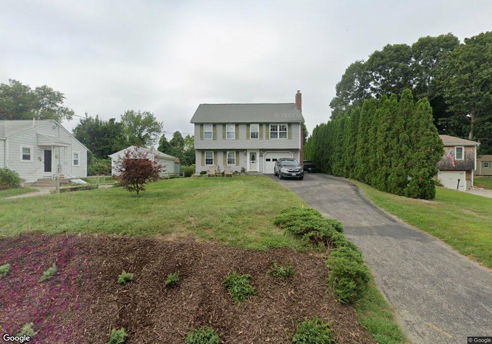
255 Foddering Farm Rd Narragansett, RI 02882
Estimated Value: $825,477 - $961,000
3
Beds
1
Bath
1,412
Sq Ft
$639/Sq Ft
Est. Value
About This Home
This home is located at 255 Foddering Farm Rd, Narragansett, RI 02882 and is currently estimated at $902,869, approximately $639 per square foot. 255 Foddering Farm Rd is a home located in Washington County with nearby schools including Narragansett Elementary School, Narragansett Pier Middle School, and Narragansett High School.
Ownership History
Date
Name
Owned For
Owner Type
Purchase Details
Closed on
May 7, 1998
Sold by
Conley Timothy P and Manning James P
Bought by
Markstein Joseph L and Markstein Diane L
Current Estimated Value
Create a Home Valuation Report for This Property
The Home Valuation Report is an in-depth analysis detailing your home's value as well as a comparison with similar homes in the area
Home Values in the Area
Average Home Value in this Area
Purchase History
| Date | Buyer | Sale Price | Title Company |
|---|---|---|---|
| Markstein Joseph L | $138,500 | -- |
Source: Public Records
Mortgage History
| Date | Status | Borrower | Loan Amount |
|---|---|---|---|
| Open | Markstein Joseph L | $185,000 | |
| Closed | Markstein Joseph L | $186,350 | |
| Closed | Markstein Joseph L | $50,000 | |
| Closed | Markstein Joseph L | $15,413 |
Source: Public Records
Tax History Compared to Growth
Tax History
| Year | Tax Paid | Tax Assessment Tax Assessment Total Assessment is a certain percentage of the fair market value that is determined by local assessors to be the total taxable value of land and additions on the property. | Land | Improvement |
|---|---|---|---|---|
| 2024 | $4,354 | $664,700 | $296,700 | $368,000 |
| 2023 | $4,338 | $465,900 | $204,600 | $261,300 |
| 2022 | $4,193 | $465,900 | $204,600 | $261,300 |
| 2021 | $4,128 | $465,900 | $204,600 | $261,300 |
| 2020 | $4,114 | $392,600 | $160,500 | $232,100 |
| 2019 | $4,016 | $392,600 | $160,500 | $232,100 |
| 2018 | $3,906 | $392,600 | $160,500 | $232,100 |
| 2017 | $3,544 | $335,600 | $148,900 | $186,700 |
| 2016 | $3,383 | $335,600 | $148,900 | $186,700 |
| 2015 | $3,336 | $335,600 | $148,900 | $186,700 |
| 2014 | $3,308 | $329,500 | $148,900 | $180,600 |
Source: Public Records
Map
Nearby Homes
- 147 Foddering Farm Rd
- 101 Kenyon Farm Rd
- 238 Wood Hill Rd
- 0 Daytona Ave
- 576 Point Judith Rd
- 6 Pendleton Place
- 660 Point Judith Rd Unit D2
- 20 Marine Dr
- 2 Blindbrook Dr
- 380 Camp Fuller Rd
- 17 Goose Island Rd
- 31 E Pond Rd
- 45 Durkin Dr
- 27 Foster Ln
- 41 Fox Dr
- 100 Spartina Cove Way
- 37 Spartina Cove Way
- 62 Spartina Cove Way
- 25 Scallop Shell Rd
- 64 Burnside Ave
- 251 Foddering Farm Rd
- 261 Foddering Farm Rd
- 247 Foddering Farm Rd
- 16 Harbour Island Rd
- 18 Harbour Island Rd
- 14 Harbour Island Rd
- 22 Harbour Island Rd
- 256 Foddering Farm Rd
- 250 Foddering Farm Rd
- 27 Cedar Island Rd
- 246 Foddering Farm Rd
- 264 Foddering Farm Rd
- 24 Harbour Island Rd
- 239 Foddering Farm Rd
- 240 Foddering Farm Rd
- 268 Foddering Farm Rd
- 25 Cedar Island Rd
- 45 Flintstone Rd
- 26 Arrowhead Rd
- 9 Harbour Island Rd