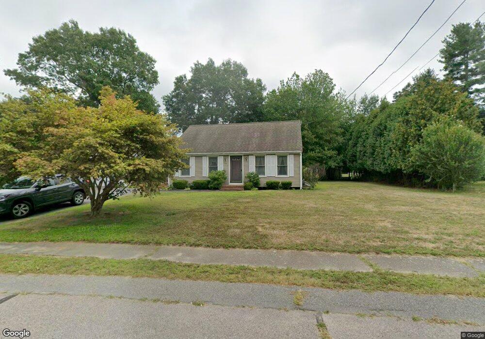
255 King James Blvd Taunton, MA 02780
Weir Village NeighborhoodEstimated Value: $504,000 - $541,000
3
Beds
1
Bath
1,200
Sq Ft
$432/Sq Ft
Est. Value
About This Home
This home is located at 255 King James Blvd, Taunton, MA 02780 and is currently estimated at $518,315, approximately $431 per square foot. 255 King James Blvd is a home located in Bristol County with nearby schools including Elizabeth Pole School, Taunton High School, and John F. Parker Middle School.
Ownership History
Date
Name
Owned For
Owner Type
Purchase Details
Closed on
Apr 6, 1999
Sold by
Rocha Paul F and Rocha Michelle K
Bought by
Darosa Steve J and Darosa Sharon J
Current Estimated Value
Home Financials for this Owner
Home Financials are based on the most recent Mortgage that was taken out on this home.
Original Mortgage
$123,500
Interest Rate
6.78%
Mortgage Type
Purchase Money Mortgage
Purchase Details
Closed on
Jul 27, 1990
Sold by
Jnk Dev Corp Inc
Bought by
Rocha Paul F
Create a Home Valuation Report for This Property
The Home Valuation Report is an in-depth analysis detailing your home's value as well as a comparison with similar homes in the area
Home Values in the Area
Average Home Value in this Area
Purchase History
| Date | Buyer | Sale Price | Title Company |
|---|---|---|---|
| Darosa Steve J | $130,000 | -- | |
| Rocha Paul F | $123,900 | -- |
Source: Public Records
Mortgage History
| Date | Status | Borrower | Loan Amount |
|---|---|---|---|
| Open | Rocha Paul F | $187,200 | |
| Closed | Rocha Paul F | $187,000 | |
| Closed | Rocha Paul F | $15,000 | |
| Closed | Rocha Paul F | $123,500 |
Source: Public Records
Tax History Compared to Growth
Tax History
| Year | Tax Paid | Tax Assessment Tax Assessment Total Assessment is a certain percentage of the fair market value that is determined by local assessors to be the total taxable value of land and additions on the property. | Land | Improvement |
|---|---|---|---|---|
| 2025 | $5,038 | $460,500 | $130,800 | $329,700 |
| 2024 | $4,554 | $407,000 | $130,800 | $276,200 |
| 2023 | $4,234 | $351,400 | $124,900 | $226,500 |
| 2022 | $4,419 | $335,300 | $114,000 | $221,300 |
| 2021 | $4,199 | $295,700 | $103,600 | $192,100 |
| 2020 | $4,140 | $278,600 | $103,600 | $175,000 |
| 2019 | $4,309 | $273,400 | $103,600 | $169,800 |
| 2018 | $3,917 | $249,200 | $104,700 | $144,500 |
| 2017 | $3,698 | $235,400 | $99,200 | $136,200 |
| 2016 | $3,569 | $227,600 | $96,300 | $131,300 |
| 2015 | $3,377 | $225,000 | $93,700 | $131,300 |
| 2014 | $3,387 | $231,800 | $93,700 | $138,100 |
Source: Public Records
Map
Nearby Homes
- 165 King James Blvd
- 26 Maynard St Unit A
- 28 Barbara Rd
- 55 Donna Terrace
- 31 Bruno's Way Unit A
- 106 Alicia Dr
- 168 Hart St Unit 22
- 600 County St
- 600 County St Lot A
- 600
- 147 Colonial Dr
- 170 Hart St Unit B
- 23 Johnson St Unit A
- 23 Johnson St Unit C
- 218R Hart St Unit B
- 218R Hart St Unit A
- 0 S Main St Unit 73443212
- 11 Williams St
- 152 Forgeriver
- 117 Hart St Unit 5
- 7 Squire Ln
- 245 King James Blvd
- 49 Squire Ln
- 27 Squire Ln
- 55 Squire Ln
- 260 King James Blvd
- 250 King James Blvd
- 235 King James Blvd
- 270 King James Blvd
- 275 King James Blvd
- 69 Squire Ln
- 230 King James Blvd
- 225 King James Blvd
- 280 King James Blvd
- 20 Squire Ln
- 68 Squire Ln
- 38 Squire Ln
- 71 Power St
- 285 King James Blvd
- 79 Squire Ln