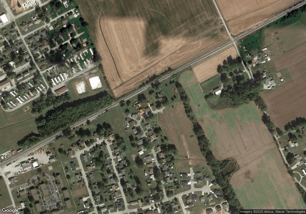
255 Mockingbird Ln Lewisport, KY 42351
Estimated Value: $118,000 - $170,390
3
Beds
1
Bath
960
Sq Ft
$150/Sq Ft
Est. Value
About This Home
This home is located at 255 Mockingbird Ln, Lewisport, KY 42351 and is currently estimated at $143,598, approximately $149 per square foot. 255 Mockingbird Ln is a home located in Hancock County with nearby schools including Hancock County Middle School and Hancock County High School.
Ownership History
Date
Name
Owned For
Owner Type
Purchase Details
Closed on
Aug 19, 2021
Sold by
Bridgmon Hunter M
Bought by
Wentz Willard W
Current Estimated Value
Purchase Details
Closed on
Jul 24, 2019
Sold by
Burton Janna L and Burton Billy J
Bought by
Bridgmon Hunter M and Bridgmon Lily Francis
Home Financials for this Owner
Home Financials are based on the most recent Mortgage that was taken out on this home.
Original Mortgage
$89,898
Interest Rate
3.8%
Mortgage Type
Construction
Purchase Details
Closed on
Aug 14, 2014
Bought by
Carmon Janna
Create a Home Valuation Report for This Property
The Home Valuation Report is an in-depth analysis detailing your home's value as well as a comparison with similar homes in the area
Home Values in the Area
Average Home Value in this Area
Purchase History
| Date | Buyer | Sale Price | Title Company |
|---|---|---|---|
| Wentz Willard W | $115,000 | Attorney Only | |
| Bridgmon Hunter M | $89,000 | Attorney Only | |
| Carmon Janna | $74,000 | -- |
Source: Public Records
Mortgage History
| Date | Status | Borrower | Loan Amount |
|---|---|---|---|
| Previous Owner | Bridgmon Hunter M | $89,898 |
Source: Public Records
Tax History Compared to Growth
Tax History
| Year | Tax Paid | Tax Assessment Tax Assessment Total Assessment is a certain percentage of the fair market value that is determined by local assessors to be the total taxable value of land and additions on the property. | Land | Improvement |
|---|---|---|---|---|
| 2024 | $712 | $115,000 | $0 | $0 |
| 2023 | $720 | $115,000 | $0 | $0 |
| 2022 | $776 | $115,000 | $0 | $0 |
| 2021 | $932 | $89,000 | $0 | $0 |
| 2020 | $899 | $89,000 | $0 | $0 |
| 2019 | $748 | $74,000 | $0 | $0 |
| 2018 | $718 | $74,000 | $0 | $0 |
| 2017 | $722 | $74,000 | $0 | $0 |
| 2016 | $694 | $74,000 | $0 | $0 |
| 2015 | $538 | $74,000 | $5,000 | $69,000 |
| 2014 | $538 | $60,000 | $5,000 | $55,000 |
| 2012 | $538 | $60,000 | $5,000 | $55,000 |
Source: Public Records
Map
Nearby Homes
- 406 Bluegrass Dr
- 490 High St
- 25 Market St
- 50 Lee Henderson Rd
- 175 Sands Dr
- 1240 Washington Ave
- 1410 Washington Ave
- 1445 Meadowlane Dr
- 6 E Highway 60
- Lot 1 Hwy 271
- 3973 State Route 657
- Lot 2 Hwy 271
- 9585 River Rd
- Lot 58 Hickory Ridge Rd
- Lot 56 Hickory Ridge Rd
- Lot 57 Hickory Ridge Rd
- 2870 Oak Rd
- 330 N Chestnut Grove Rd
- Lot 3 Abigail Ln
- Lot 4 Abigail Ln
- 245 Mockingbird Ln
- 235 Mockingbird Ln
- 295 Mockingbird Ln
- 225 Mockingbird Ln
- 190 Mockingbird Ln
- 180 Mockingbird Ln
- 215 Mockingbird Ln
- 170 Mockingbird Ln
- 205 Mockingbird Ln
- 185 Mockingbird Ln
- 160 Mockingbird Ln
- 165 Mockingbird Ln
- 155 Mockingbird Ln
- 150 Mockingbird Ln
- 295 Robin Cir
- 140 Mockingbird Ln
- 275 Robin Cir
- 305 Robin Cir
- 135 Mockingbird Ln
- 325 Robin Cir
