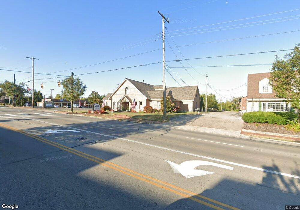
255 N Main St Centerville, OH 45459
Estimated Value: $1,432,382
--
Bed
--
Bath
5,500
Sq Ft
$260/Sq Ft
Est. Value
About This Home
This home is located at 255 N Main St, Centerville, OH 45459 and is currently estimated at $1,432,382, approximately $260 per square foot. 255 N Main St is a home located in Montgomery County with nearby schools including Primary Village North, Normandy Elementary School, and Magsig Middle School.
Ownership History
Date
Name
Owned For
Owner Type
Purchase Details
Closed on
Jun 17, 2014
Sold by
Greg Lee Realty Inc
Bought by
Cjac Holdings Llc
Current Estimated Value
Home Financials for this Owner
Home Financials are based on the most recent Mortgage that was taken out on this home.
Original Mortgage
$77,500
Outstanding Balance
$59,120
Interest Rate
4.2%
Mortgage Type
Construction
Estimated Equity
$1,373,262
Purchase Details
Closed on
Oct 7, 1996
Sold by
Center Med Office Co and Torbeck Terrence P
Bought by
Greg Lee Realty Inc
Purchase Details
Closed on
Aug 16, 1996
Sold by
Center Med Office Co
Bought by
Torbeck Terrence P
Create a Home Valuation Report for This Property
The Home Valuation Report is an in-depth analysis detailing your home's value as well as a comparison with similar homes in the area
Home Values in the Area
Average Home Value in this Area
Purchase History
| Date | Buyer | Sale Price | Title Company |
|---|---|---|---|
| Cjac Holdings Llc | $580,000 | None Available | |
| Greg Lee Realty Inc | $610,000 | -- | |
| Torbeck Terrence P | -- | -- |
Source: Public Records
Mortgage History
| Date | Status | Borrower | Loan Amount |
|---|---|---|---|
| Open | Cjac Holdings Llc | $77,500 | |
| Open | Cjac Holdings Llc | $637,500 |
Source: Public Records
Tax History Compared to Growth
Tax History
| Year | Tax Paid | Tax Assessment Tax Assessment Total Assessment is a certain percentage of the fair market value that is determined by local assessors to be the total taxable value of land and additions on the property. | Land | Improvement |
|---|---|---|---|---|
| 2024 | $17,924 | $222,670 | $95,590 | $127,080 |
| 2023 | $17,924 | $222,670 | $95,590 | $127,080 |
| 2022 | $19,502 | $209,200 | $58,640 | $150,560 |
| 2021 | $19,695 | $209,200 | $58,640 | $150,560 |
| 2020 | $19,503 | $209,200 | $58,640 | $150,560 |
| 2019 | $21,065 | $217,980 | $58,640 | $159,340 |
| 2018 | $19,117 | $217,980 | $58,640 | $159,340 |
| 2017 | $18,901 | $217,980 | $58,640 | $159,340 |
| 2016 | $19,248 | $217,980 | $58,640 | $159,340 |
| 2015 | $14,216 | $217,980 | $58,640 | $159,340 |
| 2014 | $14,216 | $160,930 | $58,640 | $102,290 |
| 2012 | -- | $164,000 | $58,440 | $105,560 |
Source: Public Records
Map
Nearby Homes
- 59 Wythe Parish St Unit 4
- 85 Poinciana Dr
- 129 Bradstreet Rd
- 311 Pleasant Hill Dr
- 119 Blackstone Dr
- 40 Cemetery Dr
- 121 Woodfield Place
- 36 Blackstone Dr
- 7687 Normandy Ln
- 51 Winchester (#E) Place
- 312 Trebor Ln
- 7767 Brams Hill Dr Unit 7767
- 20 Gershwin Dr
- 6935 Paragon Rd
- 170 S Main St Unit C
- 7006 Cedar Pines Ct
- 210 Anton Ct
- 7215 Whitetail Trail Unit 108108
- 7128 Hartcrest Ln Unit 130130
- 7128 Hartcrest Ln Unit 130
- 261 N Main St
- 235 N Main St
- 7491 Far Hills Ave
- 11 Bradstreet Rd Unit 7
- 11 Bradstreet Rd Unit 12
- 11 Bradstreet Rd Unit 10
- 10 Bradstreet Rd Unit 11
- 10 Bradstreet Rd Unit 9
- 30 Bradstreet Rd Unit 4
- 30 Bradstreet Rd Unit 5
- 30-33 Bradstreet Rd
- 212 N Main St
- 194 Lyons Dr
- 49 Bradstreet Rd
- 190 Lyons Dr
- 50 Bradstreet Rd
- 192 Lyons Dr
- 63 Wythe Parish St Unit 5
- 65 Wythe Parish St Unit 6
- 67 Wythe Parish St Unit 7