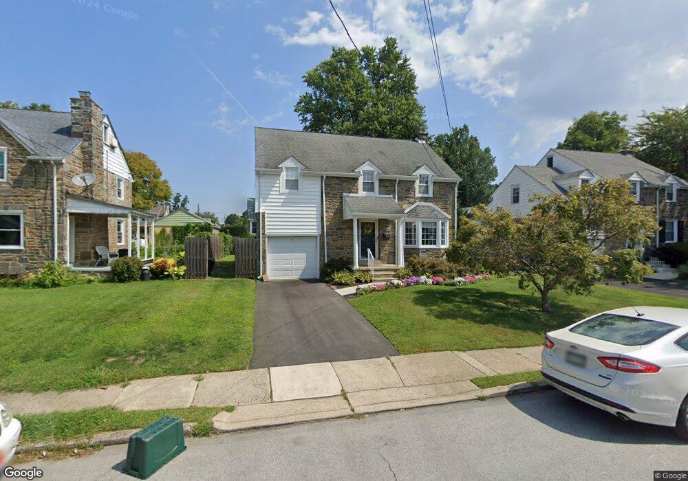
255 Parham Rd Springfield, PA 19064
Estimated Value: $450,630 - $599,000
About This Home
This home is located at 255 Parham Rd, Springfield, PA 19064 and is currently estimated at $500,658, approximately $319 per square foot. 255 Parham Rd is a home located in Delaware County with nearby schools including Springfield High School, St Francis Of Assisi School, and Holy Cross School.
Ownership History
We collect this data history from publicly available records. To have your information removed, we recommend requesting removal directly through your county’s website.
Purchase Details
Home Financials for this Owner
Home Financials are based on the most recent Mortgage that was taken out on this home.Purchase Details
Home Financials for this Owner
Home Financials are based on the most recent Mortgage that was taken out on this home.Purchase Details
Home Financials for this Owner
Home Financials are based on the most recent Mortgage that was taken out on this home.Purchase Details
Home Financials for this Owner
Home Financials are based on the most recent Mortgage that was taken out on this home.Home Values in the Area
Average Home Value in this Area
Purchase History
We collect this data history from publicly available records. To have your information removed, we recommend requesting removal directly through your county’s website.
| Date | Buyer | Sale Price | Title Company |
|---|---|---|---|
| $310,000 | None Available | ||
| $334,000 | None Available | ||
| $275,000 | -- | ||
| $145,000 | T A Title Insurance Company |
Mortgage History
We collect this data history from publicly available records. To have your information removed, we recommend requesting removal directly through your county’s website.
| Date | Status | Borrower | Loan Amount |
|---|---|---|---|
| Open | $302,141 | ||
| Previous Owner | $267,200 | ||
| Previous Owner | $180,000 | ||
| Previous Owner | $116,000 |
Tax History
We collect this data history from publicly available records. To have your information removed, we recommend requesting removal directly through your county’s website.
| Year | Tax Paid | Tax Assessment Tax Assessment Total Assessment is a certain percentage of the fair market value that is determined by local assessors to be the total taxable value of land and additions on the property. | Land | Improvement |
|---|---|---|---|---|
| 2026 | $7,882 | $262,980 | $93,330 | $169,650 |
| 2025 | $7,392 | $262,980 | $93,330 | $169,650 |
| 2024 | $7,392 | $262,980 | $93,330 | $169,650 |
| 2023 | $7,117 | $262,980 | $93,330 | $169,650 |
| 2022 | $6,963 | $262,980 | $93,330 | $169,650 |
| 2021 | $10,784 | $262,980 | $93,330 | $169,650 |
| 2020 | $6,338 | $139,860 | $44,860 | $95,000 |
| 2019 | $6,189 | $139,860 | $44,860 | $95,000 |
| 2018 | $6,100 | $139,860 | $0 | $0 |
| 2017 | $5,959 | $139,860 | $0 | $0 |
| 2016 | $768 | $139,860 | $0 | $0 |
| 2015 | $768 | $139,860 | $0 | $0 |
| 2014 | $768 | $139,860 | $0 | $0 |
Map
- 306 Sedgewood Rd
- 225 Lynbrooke Rd
- 271 Ballymore Rd
- 527 Saxer Ave
- 320 Prospect Rd
- 270 Sunnybrook Rd
- 610 Saxer Ave
- 93 Saxer Ave
- 304 Carolee Cir
- 311 Carolee Cir
- 231 E Woodland Ave
- 212 E Woodland Ave
- 405 E Woodland Ave
- 29 Schuyler Rd
- 111 S Norwinden Dr
- 251 School Ln
- 29 School Ln
- 224 Wayne Ave
- 649 Andrew Rd
- 14 Windsor Cir
Ask me questions while you tour the home.