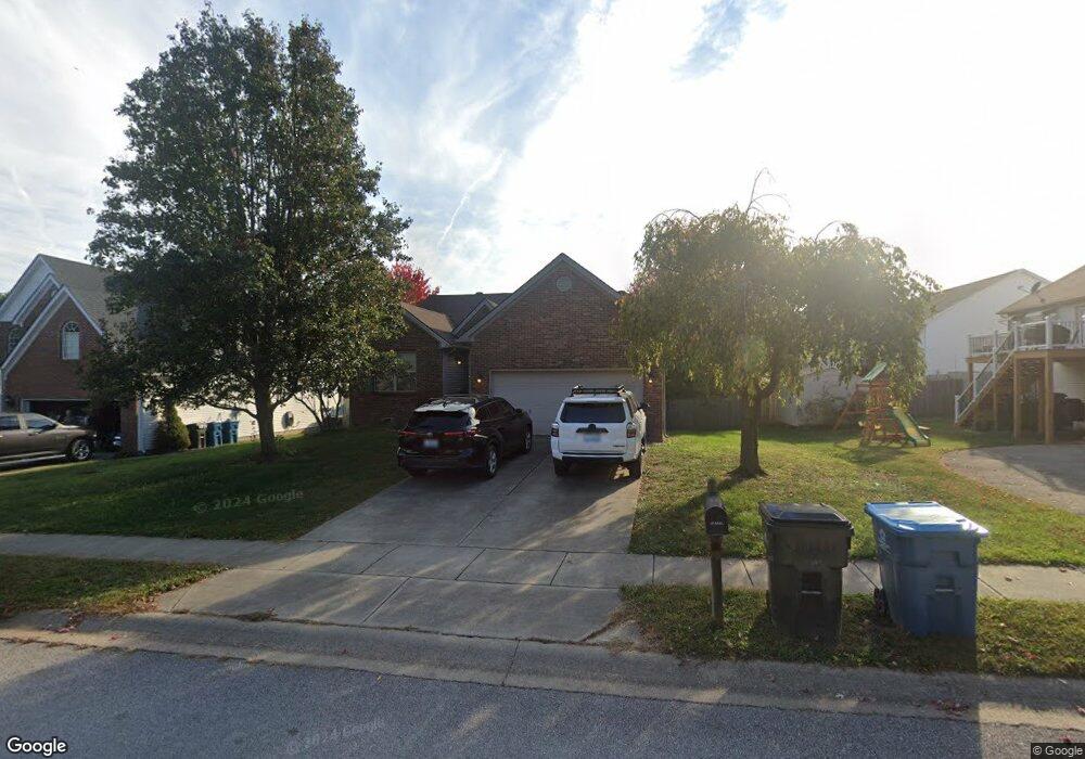
255 Ransom Trace Georgetown, KY 40324
Bradford Place NeighborhoodEstimated Value: $324,000 - $352,000
3
Beds
2
Baths
1,483
Sq Ft
$225/Sq Ft
Est. Value
About This Home
This home is located at 255 Ransom Trace, Georgetown, KY 40324 and is currently estimated at $333,079, approximately $224 per square foot. 255 Ransom Trace is a home located in Scott County with nearby schools including Southern Elementary School, Georgetown Middle School, and Scott County High School.
Ownership History
Date
Name
Owned For
Owner Type
Purchase Details
Closed on
Nov 7, 2022
Sold by
Baldridge Teri
Bought by
Driver David and Bond Megan
Current Estimated Value
Home Financials for this Owner
Home Financials are based on the most recent Mortgage that was taken out on this home.
Original Mortgage
$282,000
Outstanding Balance
$272,055
Interest Rate
6.92%
Mortgage Type
VA
Estimated Equity
$61,024
Purchase Details
Closed on
Aug 26, 2005
Sold by
Ball Hoems Llc
Bought by
Baldridge Teri A
Home Financials for this Owner
Home Financials are based on the most recent Mortgage that was taken out on this home.
Original Mortgage
$174,300
Interest Rate
5.64%
Mortgage Type
FHA
Create a Home Valuation Report for This Property
The Home Valuation Report is an in-depth analysis detailing your home's value as well as a comparison with similar homes in the area
Home Values in the Area
Average Home Value in this Area
Purchase History
| Date | Buyer | Sale Price | Title Company |
|---|---|---|---|
| Driver David | $282,000 | Precise Title Services Llc | |
| Baldridge Teri A | $175,678 | Elam Metropolitan Title Co |
Source: Public Records
Mortgage History
| Date | Status | Borrower | Loan Amount |
|---|---|---|---|
| Open | Driver David | $282,000 | |
| Previous Owner | Baldridge Teri A | $174,300 |
Source: Public Records
Tax History
| Year | Tax Paid | Tax Assessment Tax Assessment Total Assessment is a certain percentage of the fair market value that is determined by local assessors to be the total taxable value of land and additions on the property. | Land | Improvement |
|---|---|---|---|---|
| 2025 | $2,691 | $302,100 | $0 | $0 |
| 2024 | $2,608 | $290,000 | $0 | $0 |
| 2023 | $2,557 | $282,000 | $42,000 | $240,000 |
| 2022 | $1,871 | $220,000 | $35,000 | $185,000 |
| 2021 | $1,919 | $203,700 | $35,000 | $168,700 |
| 2020 | $1,623 | $188,900 | $35,000 | $153,900 |
| 2019 | $1,579 | $180,900 | $0 | $0 |
| 2018 | $1,518 | $174,953 | $0 | $0 |
| 2017 | $1,526 | $174,953 | $0 | $0 |
| 2016 | $1,385 | $171,987 | $0 | $0 |
| 2015 | $1,367 | $170,800 | $0 | $0 |
| 2014 | $1,416 | $170,800 | $0 | $0 |
| 2011 | $109 | $175,678 | $0 | $0 |
Source: Public Records
Map
Nearby Homes
- 159 Irving Ln
- 113 Walden Cove Unit 3I
- 100 Hemingway Ct
- 134 Hemingway Place
- 402 Hiawatha Trail
- 206 Hiawatha Trail
- 115 Victor Place
- 1010 Walker Way
- 104 Bronte Place
- 1335 Seminole Trail
- 113 Stapleton Way
- 106 Ransom Trace
- 132 Stapleton Way
- 118 Chamberlain Dr
- 164 Stapleton Way
- 1011 Parkside Dr
- 1003 Parkside Dr
- 1026 Parkside Dr
- 110 Hannsons Path
- 102 Hansons Path
- 257 Ransom Trace
- 253 Ransom Trace Unit 3H
- 267 Ransom Trace
- 269 Ransom Trace
- 251 Ransom Trace
- 271 Ransom Trace
- 256 Ransom Trace
- 254 Ransom Trace
- 252 Ransom Trace
- 258 Ransom Trace
- 273 Ransom Trace
- 249 Ransom Trace
- 250 Ransom Trace
- 260 Ransom Trace Unit 3H
- 268 Ransom Trace
- 266 Ransom Trace
- 275 Ransom Trace
- 270 Ransom Trace
- 248 Ransom Trace
- 264 Ransom Trace
Your Personal Tour Guide
Ask me questions while you tour the home.