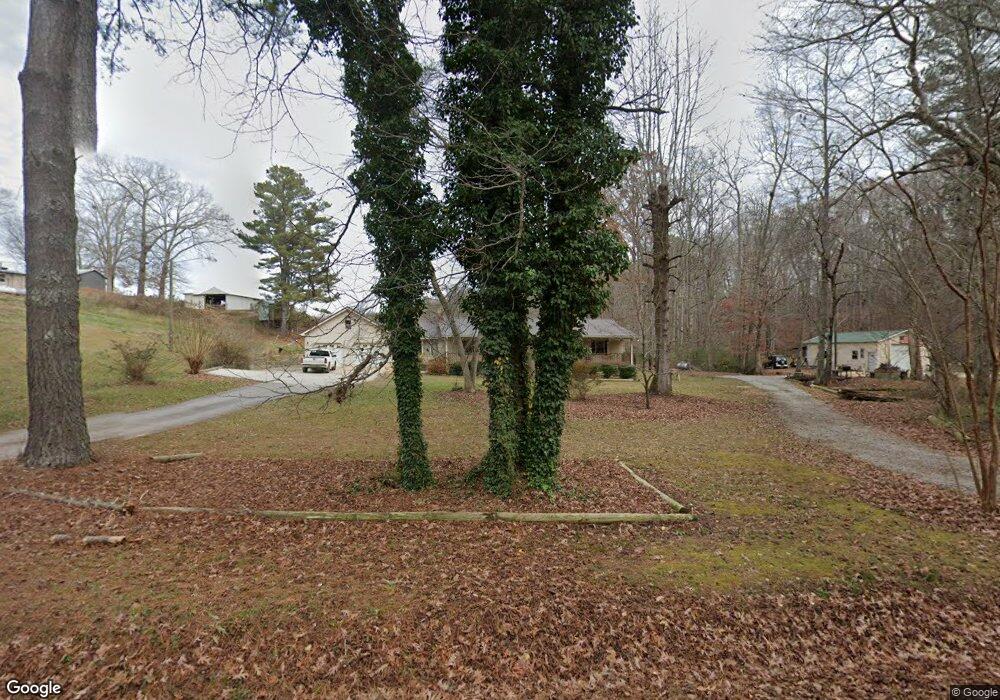
255 Reid Rd Unit M0RGAN Carrollton, GA 30117
Estimated Value: $225,000 - $256,000
3
Beds
3
Baths
1,470
Sq Ft
$159/Sq Ft
Est. Value
About This Home
This home is located at 255 Reid Rd Unit M0RGAN, Carrollton, GA 30117 and is currently estimated at $234,355, approximately $159 per square foot. 255 Reid Rd Unit M0RGAN is a home located in Carroll County with nearby schools including Carrollton Elementary School, Carrollton Upper Elementary School, and Carrollton Middle School.
Ownership History
Date
Name
Owned For
Owner Type
Purchase Details
Closed on
Aug 1, 2003
Sold by
Miller Joseph W
Bought by
Floyd Gregory B
Current Estimated Value
Purchase Details
Closed on
Apr 25, 2001
Sold by
Miller Joseph W
Bought by
Miller Joseph W
Purchase Details
Closed on
Sep 18, 2000
Sold by
Malloy Patrick Comm
Bought by
Miller Joseph W
Purchase Details
Closed on
Mar 8, 2000
Bought by
Malloy Patrick Comm
Create a Home Valuation Report for This Property
The Home Valuation Report is an in-depth analysis detailing your home's value as well as a comparison with similar homes in the area
Home Values in the Area
Average Home Value in this Area
Purchase History
| Date | Buyer | Sale Price | Title Company |
|---|---|---|---|
| Floyd Gregory B | $118,000 | -- | |
| Miller Joseph W | -- | -- | |
| Miller Joseph W | $108,000 | -- | |
| Malloy Patrick Comm | -- | -- |
Source: Public Records
Tax History Compared to Growth
Tax History
| Year | Tax Paid | Tax Assessment Tax Assessment Total Assessment is a certain percentage of the fair market value that is determined by local assessors to be the total taxable value of land and additions on the property. | Land | Improvement |
|---|---|---|---|---|
| 2024 | $2,333 | $85,369 | $4,000 | $81,369 |
| 2023 | $2,333 | $78,001 | $4,000 | $74,001 |
| 2022 | $1,850 | $63,381 | $4,000 | $59,381 |
| 2021 | $1,603 | $54,928 | $4,000 | $50,928 |
| 2020 | $1,434 | $49,068 | $4,000 | $45,068 |
| 2019 | $1,177 | $45,333 | $4,000 | $41,333 |
| 2018 | $1,228 | $46,924 | $6,000 | $40,924 |
| 2017 | $1,234 | $46,924 | $6,000 | $40,924 |
| 2016 | $1,241 | $46,924 | $6,000 | $40,924 |
| 2015 | $1,073 | $38,731 | $6,000 | $32,732 |
| 2014 | $1,078 | $38,732 | $6,000 | $32,732 |
Source: Public Records
Map
Nearby Homes
- 255 Morgan Rd
- 206 Asher Dr
- 105 Providence Ct
- 221 Turtle Cove
- 115 N Lake Dr
- 2580 Shady Grove Rd
- 0 Knight Dr W
- 231 N Lakeshore Dr
- 223 N Lakeshore Dr
- 1890 Shady Grove Rd
- 0 Old Airport Rd Unit 10599783
- 0 Old Airport Rd Unit 7642336
- 0 Old Airport Rd Unit 10599779
- 1711B Bankhead Hwy
- 536 N Lakeshore Dr
- 45 Sassafrass Way
- 3 Burns Rd
- 2 Burns Rd
- 0 Shady Grove Rd Unit 10601173
- 0 Shady Grove Rd Unit 10601172
- 110 Turtle Walk
- 105 Lake Crossing
- 108 Turtle Walk
- 106 Lake Crossing
- 106 Turtle Walk
- 112 Turtle Walk
- 103 Lake Crossing
- 0 Lake Crossing Unit 7323332
- 0 Lake Crossing Unit 7232763
- 0 Lake Crossing Unit 7081554
- 0 Lake Crossing Unit 7022565
- 104 Lake Crossing
- 104 Turtle Walk
- 0 Turtle Walk Unit 7022771
- 0 Turtle Walk Unit 7284133
- E Turtle Walk
- 253 Morgan Rd
- 111 Turtle Walk
- 206 Stoney Brook Dr
- 208 Stoney Brook Dr