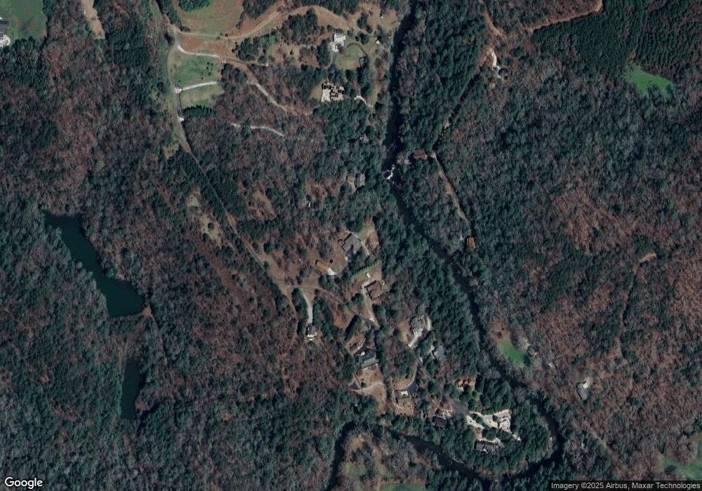
255 River Trail Unit 290, 0291 Dahlonega, GA 30533
Estimated Value: $826,000 - $959,000
3
Beds
3
Baths
3,466
Sq Ft
$251/Sq Ft
Est. Value
About This Home
This home is located at 255 River Trail Unit 290, 0291, Dahlonega, GA 30533 and is currently estimated at $871,247, approximately $251 per square foot. 255 River Trail Unit 290, 0291 is a home located in Lumpkin County with nearby schools including Clay County Middle School and Lumpkin County High School.
Ownership History
Date
Name
Owned For
Owner Type
Purchase Details
Closed on
Jul 13, 2018
Sold by
Cavalier Patricia P
Bought by
Cumbie Keith W and Cumbie Len J
Current Estimated Value
Purchase Details
Closed on
Apr 27, 2000
Sold by
Woody William
Bought by
Cavalier Albert M
Purchase Details
Closed on
Mar 24, 2000
Sold by
Woody William
Bought by
Cavalier Albert M
Purchase Details
Closed on
Jan 1, 1995
Sold by
Woody William
Bought by
Woody William
Create a Home Valuation Report for This Property
The Home Valuation Report is an in-depth analysis detailing your home's value as well as a comparison with similar homes in the area
Home Values in the Area
Average Home Value in this Area
Purchase History
| Date | Buyer | Sale Price | Title Company |
|---|---|---|---|
| Cumbie Keith W | $398,000 | -- | |
| Cavalier Albert M | $120,000 | -- | |
| Cavalier Albert M | -- | -- | |
| Woody William | -- | -- |
Source: Public Records
Tax History Compared to Growth
Tax History
| Year | Tax Paid | Tax Assessment Tax Assessment Total Assessment is a certain percentage of the fair market value that is determined by local assessors to be the total taxable value of land and additions on the property. | Land | Improvement |
|---|---|---|---|---|
| 2024 | $5,883 | $260,777 | $93,038 | $167,739 |
| 2023 | $5,463 | $251,800 | $93,038 | $158,762 |
| 2022 | $5,881 | $239,564 | $93,038 | $146,526 |
| 2021 | $5,510 | $217,253 | $93,038 | $124,215 |
| 2020 | $5,359 | $205,168 | $93,038 | $112,130 |
| 2019 | $4,185 | $205,151 | $93,038 | $112,113 |
| 2018 | $2,015 | $174,606 | $76,558 | $98,048 |
| 2017 | $1,968 | $170,917 | $76,558 | $94,359 |
| 2016 | $1,878 | $164,556 | $76,558 | $87,998 |
| 2015 | $1,562 | $164,556 | $76,558 | $87,998 |
| 2014 | $1,562 | $165,502 | $76,558 | $88,945 |
| 2013 | -- | $166,448 | $76,557 | $89,890 |
Source: Public Records
Map
Nearby Homes
- 124 Candy Man Ln
- 134 Elkmont Dr
- 133 Elkmont Dr
- 925 Horseshoe Bend Rd
- 0 Horseshoe Bend Rd Unit 10571975
- 0 Horseshoe Bend Rd Unit 7620338
- 0 Stancil Dyer Rd Unit 10640477
- 412 Fireside Ridge Dr
- 180 Alonzo Cain Rd
- 748 Damascus Church Rd
- 2717 Damascus Church Rd
- 1437 Porter Springs Rd
- 265 Hound Dog Ln
- 0 Damascus Church Rd Unit 21674636
- 11161 Highway 19 N
- 16 Welch Cir
- 1063 Grindle Bridge Rd
- 31 Pine Rd
- 372 Porter Springs Rd
- 255 River Trail
- 347 River Trail
- Lot 14 River Trail
- 125 River Trail
- 225 River Trail Unit 225
- 225 River Trail Unit 17
- 276 River Trail Unit 13
- 276 River Trail
- 81 River Trail
- 385 River Trail
- 630 Frogtown Place
- 1789 Frogtown Rd
- 1789 Frogtown Rd
- 342 River Trail
- 192 Candy Man Ln
- 0 Candy Man Ln Unit 8029909
- 421 River Trail
- 370 River Trail
- 53 River Trail
- 425 River Trail
