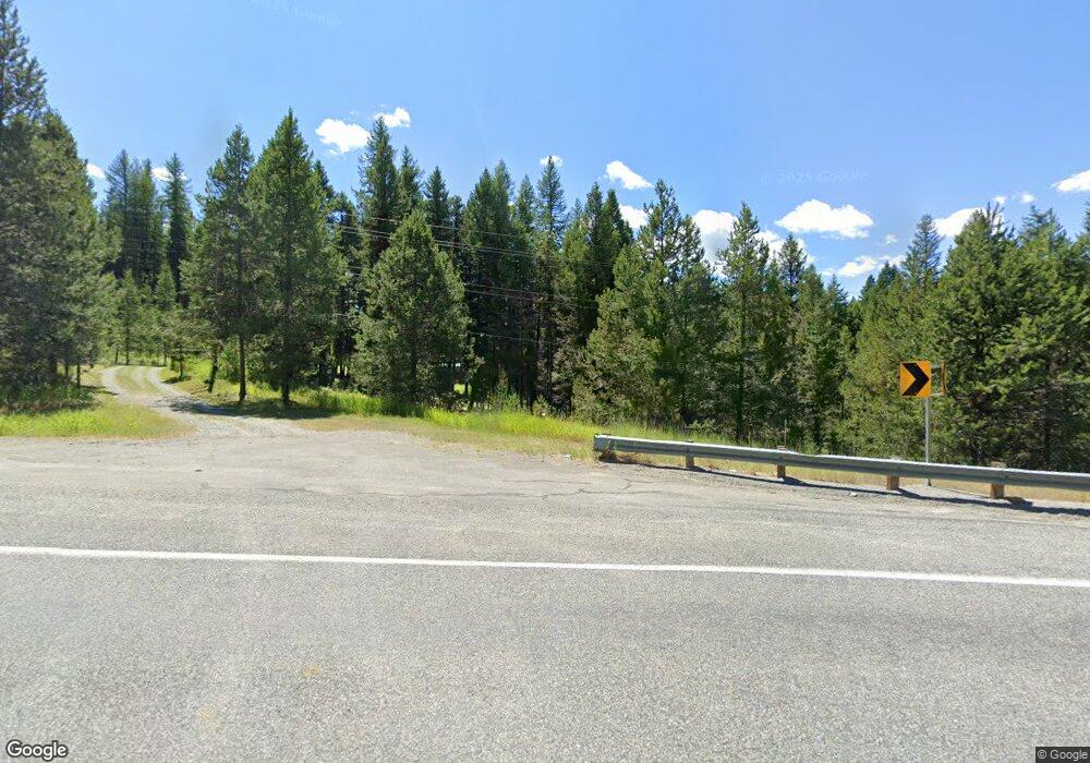
2550 Highway 20 Wauconda, WA 98859
Estimated Value: $105,499 - $201,000
1
Bed
1
Bath
688
Sq Ft
$242/Sq Ft
Est. Value
About This Home
This home is located at 2550 Highway 20, Wauconda, WA 98859 and is currently estimated at $166,500, approximately $242 per square foot. 2550 Highway 20 is a home located in Okanogan County with nearby schools including Republic Elementary School, Republic Junior High School, and Republic Senior High School.
Ownership History
Date
Name
Owned For
Owner Type
Purchase Details
Closed on
Oct 30, 2009
Sold by
Jones Carrie J and Jones Brian
Bought by
Wilson Russell S
Current Estimated Value
Home Financials for this Owner
Home Financials are based on the most recent Mortgage that was taken out on this home.
Original Mortgage
$40,000
Interest Rate
7%
Mortgage Type
Seller Take Back
Purchase Details
Closed on
Oct 27, 2009
Sold by
Jones Carrie J and Jones Brian
Bought by
Wilson Russell S
Home Financials for this Owner
Home Financials are based on the most recent Mortgage that was taken out on this home.
Original Mortgage
$40,000
Interest Rate
7%
Mortgage Type
Seller Take Back
Create a Home Valuation Report for This Property
The Home Valuation Report is an in-depth analysis detailing your home's value as well as a comparison with similar homes in the area
Home Values in the Area
Average Home Value in this Area
Purchase History
| Date | Buyer | Sale Price | Title Company |
|---|---|---|---|
| Wilson Russell S | $80,000 | Inland Professional Title | |
| Wilson Russell S | $80,000 | Inland Professional Title |
Source: Public Records
Mortgage History
| Date | Status | Borrower | Loan Amount |
|---|---|---|---|
| Previous Owner | Wilson Russell S | $40,000 |
Source: Public Records
Tax History Compared to Growth
Tax History
| Year | Tax Paid | Tax Assessment Tax Assessment Total Assessment is a certain percentage of the fair market value that is determined by local assessors to be the total taxable value of land and additions on the property. | Land | Improvement |
|---|---|---|---|---|
| 2025 | $240 | $57,200 | $28,400 | $28,800 |
| 2024 | $240 | $57,200 | $28,400 | $28,800 |
| 2022 | $298 | $57,200 | $28,400 | $28,800 |
| 2021 | $326 | $57,200 | $28,400 | $28,800 |
| 2020 | $335 | $57,200 | $28,400 | $28,800 |
| 2019 | $323 | $51,000 | $24,300 | $26,700 |
| 2018 | $337 | $51,000 | $24,300 | $26,700 |
| 2017 | $310 | $51,000 | $24,300 | $26,700 |
| 2016 | $461 | $51,000 | $24,300 | $26,700 |
| 2015 | $466 | $51,000 | $24,300 | $26,700 |
| 2013 | -- | $39,800 | $21,300 | $18,500 |
Source: Public Records
Map
Nearby Homes
- 0 Cape Labelle Rd
- 259 B S Mt Anne Rd
- 3 Summer Rd
- 302 Summer Rd
- 109 Ruff Rd
- 100 Turner Lake Rd
- 30 Cougar Loop Dr
- 0 Cougar Creek Rd
- 190 Bunch Rd
- 18 Risingson Dr
- 152 High Country Dr E
- 0 XX E Fork Cougar Creek Rd
- 147 W High Country
- 25 Harvest Moon Ln
- 920 Toroda Creek Rd
- 363 Sheridan Rd
- 0 Neil Circle Rd N Unit NWM2232923
- 0 Tbd High Country Dr W
- 0 Tbd Cape Labelle Rd Unit NWM2390053
- 1111 TBD White Tail Ln
- 26 Cape Labelle Rd
- 191 Cape Labelle Rd
- 2565 Highway 20
- 2503 Highway 20
- 34 Cape Labelle Rd N
- 34 Cape Labelle Rd
- 2515 Highway 20
- 2573 Highway 20
- 2580 Highway 20
- 29 Cape Labelle Rd N
- 42 Cape Labelle Rd N
- 28 Cape Labelle Rd N
- 2495 Highway 20
- 2495 Highway 20
- 2495 Highway 20
- 2495 Highway 20
- 68 Cape Labelle Rd N
- 65 Cape Labelle Rd N
