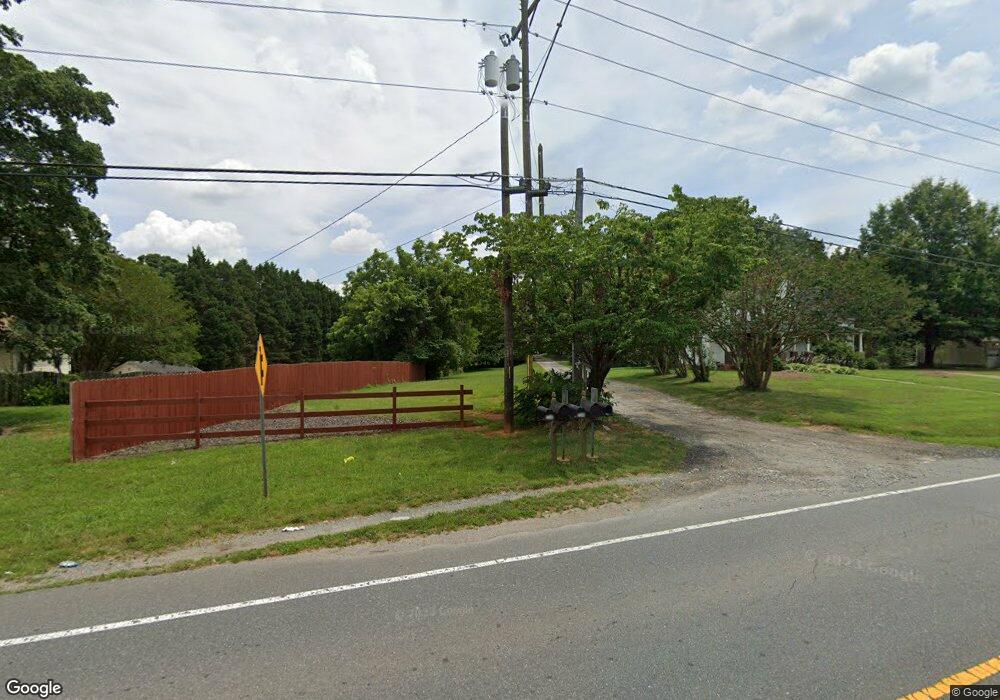
2550 W Mountain St Kernersville, NC 27284
Woodbridge NeighborhoodEstimated Value: $166,715 - $408,000
4
Beds
2
Baths
2,336
Sq Ft
$108/Sq Ft
Est. Value
About This Home
This home is located at 2550 W Mountain St, Kernersville, NC 27284 and is currently estimated at $251,929, approximately $107 per square foot. 2550 W Mountain St is a home located in Forsyth County with nearby schools including Cash Elementary, East Forsyth Middle, and East Forsyth High School.
Ownership History
Date
Name
Owned For
Owner Type
Purchase Details
Closed on
Mar 12, 2024
Sold by
Holder Peggy Ann V
Bought by
Holder Peggy Ann V and Holder Keith Malcom
Current Estimated Value
Purchase Details
Closed on
Jan 22, 2010
Sold by
Holder Oscar E
Bought by
Holder Benjamin M and Holder Peggy Ann V
Purchase Details
Closed on
May 13, 2002
Sold by
Holder Properties
Bought by
Holder Benjamin M and Holder Peggy Ann V
Create a Home Valuation Report for This Property
The Home Valuation Report is an in-depth analysis detailing your home's value as well as a comparison with similar homes in the area
Home Values in the Area
Average Home Value in this Area
Purchase History
| Date | Buyer | Sale Price | Title Company |
|---|---|---|---|
| Holder Peggy Ann V | -- | None Listed On Document | |
| Holder Peggy Ann V | -- | None Listed On Document | |
| Holder Benjamin M | $20,000 | None Available | |
| Holder Benjamin M | -- | -- |
Source: Public Records
Tax History Compared to Growth
Tax History
| Year | Tax Paid | Tax Assessment Tax Assessment Total Assessment is a certain percentage of the fair market value that is determined by local assessors to be the total taxable value of land and additions on the property. | Land | Improvement |
|---|---|---|---|---|
| 2025 | $650 | $103,000 | $40,900 | $62,100 |
| 2024 | $650 | $74,100 | $30,900 | $43,200 |
| 2023 | $650 | $74,100 | $30,900 | $43,200 |
| 2022 | $650 | $74,100 | $30,900 | $43,200 |
| 2021 | $650 | $74,100 | $30,900 | $43,200 |
| 2020 | $646 | $68,500 | $24,400 | $44,100 |
| 2019 | $653 | $68,500 | $24,400 | $44,100 |
| 2018 | $633 | $68,500 | $24,400 | $44,100 |
| 2016 | $604 | $64,910 | $22,483 | $42,427 |
| 2015 | $604 | $64,910 | $22,483 | $42,427 |
| 2014 | $595 | $64,910 | $22,483 | $42,427 |
Source: Public Records
Map
Nearby Homes
- 306 Hastings Hill Rd
- 170 Gerry Dr
- 215 Gerry Dr
- 305 Hastings Hill Rd
- 310 Hastings Hill Rd
- 425 Rockbridge Dr
- 0 Hastings Hill Ln
- 4445 Old Wood Ct
- 0 Doe Run Dr
- 501 Buck Run Dr
- 605 Doe Run Dr
- 2337 Willow Bend Dr
- 620 Walkertown Guthrie Rd
- 508 Ray West Dr
- 487 Raven Ridge Dr
- 924 Star Gate Dr
- 2171 Castle Stone Ct
- 274 Linville Rd
- 437 Valleymeade Dr
- 2165 Castle Stone Ct
- 2548 W Mountain St
- 2546 W Mountain St
- 2552 W Mountain St
- 2544 W Mountain St
- 2566 W Mountain St
- 2538 W Mountain St
- 2532 W Mountain St
- 2574 W Mountain St
- 2570 W Mountain St
- 0 W Mountain St
- 2590 W Mountain St
- 309 Walkertown Guthrie Rd
- 2610 W Mountain St
- 305 Walkertown Guthrie Rd
- 128 Hastings Hill Rd
- 130 Hastings Hill Rd
- 2616 W Mountain St
- 105 Hastings Hill Rd
- 304 Walkertown Guthrie Rd
- 313 Walkertown Guthrie Rd