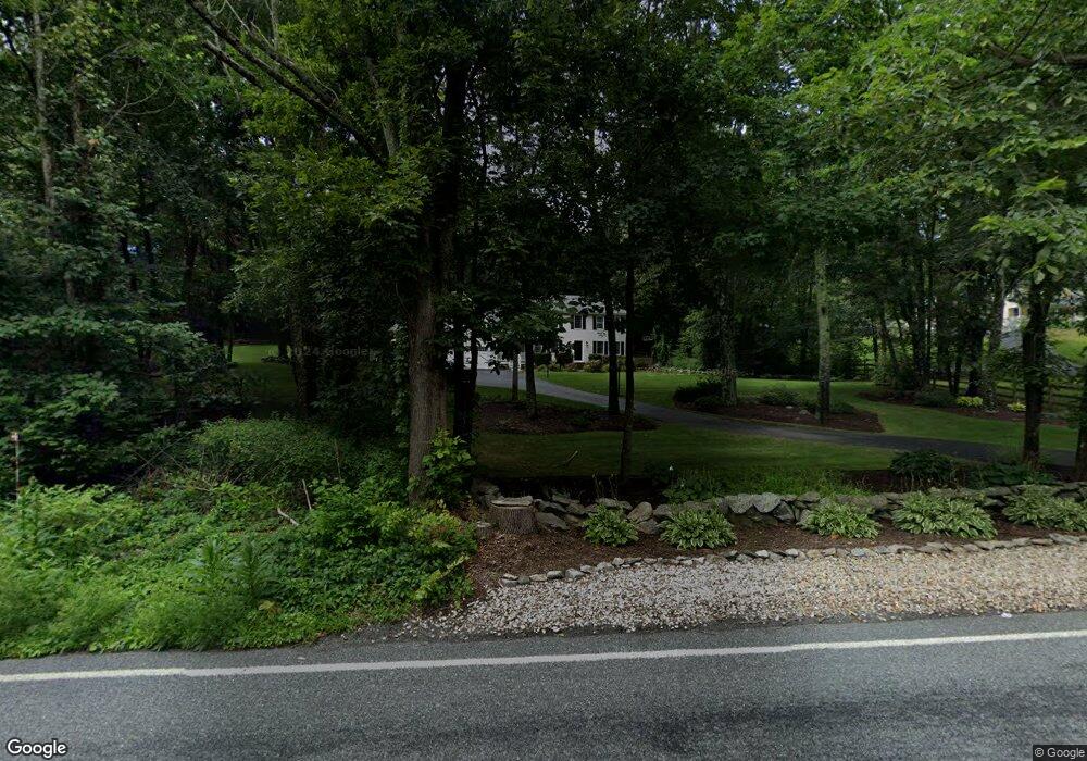
2550 West St Wrentham, MA 02093
West Wrentham NeighborhoodEstimated Value: $832,655 - $930,000
3
Beds
4
Baths
2,379
Sq Ft
$370/Sq Ft
Est. Value
About This Home
This home is located at 2550 West St, Wrentham, MA 02093 and is currently estimated at $880,164, approximately $369 per square foot. 2550 West St is a home located in Norfolk County with nearby schools including Delaney Elementary School, Charles E Roderick, and Rise Prep Mayoral Academy Middle School.
Ownership History
Date
Name
Owned For
Owner Type
Purchase Details
Closed on
Apr 12, 2024
Sold by
Wilson Christopher J and Wilson Pamela S
Bought by
Ech Rt and Wilson
Current Estimated Value
Purchase Details
Closed on
Jun 30, 1995
Sold by
Pericolo Constr Inc
Bought by
Wilson Christopher J and Wilson Pamela S
Purchase Details
Closed on
Mar 30, 1995
Sold by
Holmes Rt
Bought by
Pericolo Construction
Create a Home Valuation Report for This Property
The Home Valuation Report is an in-depth analysis detailing your home's value as well as a comparison with similar homes in the area
Home Values in the Area
Average Home Value in this Area
Purchase History
| Date | Buyer | Sale Price | Title Company |
|---|---|---|---|
| Ech Rt | -- | None Available | |
| Wilson Christopher J | $184,900 | -- | |
| Wilson Christopher J | $184,900 | -- | |
| Pericolo Construction | $45,000 | -- | |
| Pericolo Construction | $45,000 | -- |
Source: Public Records
Mortgage History
| Date | Status | Borrower | Loan Amount |
|---|---|---|---|
| Previous Owner | Pericolo Construction | $360,500 | |
| Previous Owner | Pericolo Construction | $27,500 |
Source: Public Records
Tax History Compared to Growth
Tax History
| Year | Tax Paid | Tax Assessment Tax Assessment Total Assessment is a certain percentage of the fair market value that is determined by local assessors to be the total taxable value of land and additions on the property. | Land | Improvement |
|---|---|---|---|---|
| 2025 | $8,798 | $759,100 | $288,000 | $471,100 |
| 2024 | $8,476 | $706,300 | $288,000 | $418,300 |
| 2023 | $8,203 | $650,000 | $261,900 | $388,100 |
| 2022 | $8,146 | $595,900 | $255,100 | $340,800 |
| 2021 | $7,774 | $552,500 | $238,400 | $314,100 |
| 2020 | $7,136 | $500,800 | $182,000 | $318,800 |
| 2019 | $6,612 | $468,300 | $163,800 | $304,500 |
| 2018 | $6,253 | $439,100 | $163,600 | $275,500 |
| 2017 | $6,153 | $431,800 | $160,500 | $271,300 |
| 2016 | $6,026 | $422,000 | $155,800 | $266,200 |
| 2015 | $6,232 | $416,000 | $166,500 | $249,500 |
| 2014 | $6,129 | $400,300 | $160,100 | $240,200 |
Source: Public Records
Map
Nearby Homes
- 9 Pebble Cir Unit 9
- 65 Palmetto Dr Unit 65
- 21 Palmetto Dr Unit 21
- 24 Palmetto Dr Unit 24
- 25 Nature View Dr
- 2095 West St
- 20 Nature View Dr
- 2 Duhamel Way
- 29 Squire Ln
- 1250 Pulaski Blvd
- 124 Lake St
- 219 Dawn Blvd
- 340 Wrentham Rd
- 10 Stoneham Dr
- 180 Pine Swamp Rd
- 56 Pine Swamp Rd
- 50 Wamsutta Way
- 444 Knollwood Dr
- 851 Washington St
- 60 Grant Ave