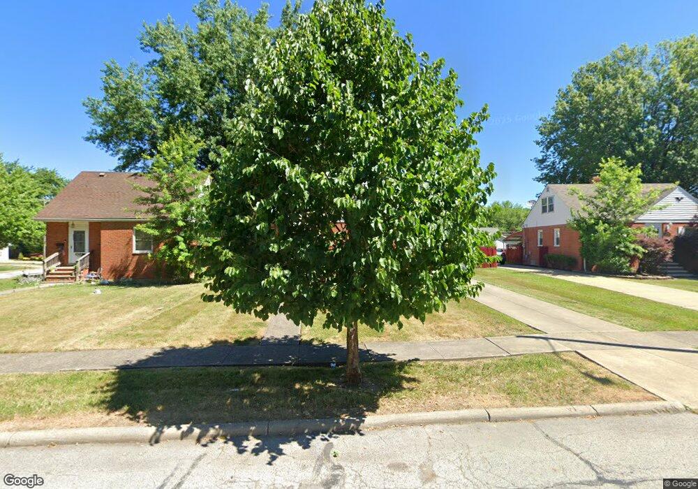
25501 Marsdon Dr Euclid, OH 44132
Estimated Value: $119,663 - $158,000
2
Beds
1
Bath
1,017
Sq Ft
$136/Sq Ft
Est. Value
About This Home
This home is located at 25501 Marsdon Dr, Euclid, OH 44132 and is currently estimated at $138,666, approximately $136 per square foot. 25501 Marsdon Dr is a home located in Cuyahoga County with nearby schools including Shoreview Elementary School, Euclid High School, and Pinnacle Academy.
Ownership History
Date
Name
Owned For
Owner Type
Purchase Details
Closed on
Nov 21, 1997
Sold by
Fratianne Richard B
Bought by
Cain Kathy A
Current Estimated Value
Home Financials for this Owner
Home Financials are based on the most recent Mortgage that was taken out on this home.
Original Mortgage
$69,939
Outstanding Balance
$9,494
Interest Rate
7.38%
Mortgage Type
FHA
Estimated Equity
$129,172
Purchase Details
Closed on
Nov 12, 1976
Sold by
Geddes Lois W
Bought by
Fratianne Richard B
Purchase Details
Closed on
Jan 1, 1975
Bought by
Geddes Lois W
Create a Home Valuation Report for This Property
The Home Valuation Report is an in-depth analysis detailing your home's value as well as a comparison with similar homes in the area
Home Values in the Area
Average Home Value in this Area
Purchase History
| Date | Buyer | Sale Price | Title Company |
|---|---|---|---|
| Cain Kathy A | $70,000 | -- | |
| Fratianne Richard B | -- | -- | |
| Geddes Lois W | -- | -- |
Source: Public Records
Mortgage History
| Date | Status | Borrower | Loan Amount |
|---|---|---|---|
| Open | Cain Kathy A | $69,939 |
Source: Public Records
Tax History
| Year | Tax Paid | Tax Assessment Tax Assessment Total Assessment is a certain percentage of the fair market value that is determined by local assessors to be the total taxable value of land and additions on the property. | Land | Improvement |
|---|---|---|---|---|
| 2025 | $2,671 | $39,025 | $9,100 | $29,925 |
| 2024 | $2,754 | $39,025 | $9,100 | $29,925 |
| 2023 | $2,394 | $26,890 | $6,900 | $19,990 |
| 2022 | $2,341 | $26,880 | $6,900 | $19,990 |
| 2021 | $2,608 | $26,880 | $6,900 | $19,990 |
| 2020 | $2,555 | $23,170 | $5,950 | $17,220 |
| 2019 | $2,228 | $66,200 | $17,000 | $49,200 |
| 2018 | $2,203 | $23,170 | $5,950 | $17,220 |
| 2017 | $2,333 | $20,060 | $4,940 | $15,120 |
| 2016 | $2,338 | $20,060 | $4,940 | $15,120 |
| 2015 | $2,134 | $20,060 | $4,940 | $15,120 |
| 2014 | $2,134 | $20,060 | $4,940 | $15,120 |
Source: Public Records
Map
Nearby Homes
- 25650 Richards Ave
- 25370 Drakefield Ave
- 25751 Briardale Ave
- 515 E 250th St
- 795 E 260th St
- 25401 Farringdon Ave
- 25671 Farringdon Ave
- 464 E 250th St
- 24791 Drakefield Ave
- 643 E 261st St
- 579 E 260th St
- 25731 Zeman Ave
- 25151 Zeman Ave
- 571 E 260th St
- 24891 Zeman Ave
- 24431 Hartland Rd
- 26171 Shoreview Ave
- 344 E 246th St
- 26530 Shoreview Ave
- 610 E 266th St
- 25451 Marsdon Dr
- 25525 Marsdon Dr
- 25500 Richards Ave
- 25575 Marsdon Dr
- 25520 Richards Ave
- 25450 Richards Ave
- 25391 Marsdon Dr
- 25500 Marsdon Dr
- 25520 Marsdon Dr
- 25450 Marsdon Dr
- 25550 Richards Ave
- 25601 Marsdon Dr
- 25371 Marsdon Dr
- 25390 Richards Ave
- 720 E 256th St
- 25560 Richards Ave
- 25370 Richards Ave
- 25390 Marsdon Dr
- 25351 Marsdon Dr
- 701 E 256th St
Your Personal Tour Guide
Ask me questions while you tour the home.