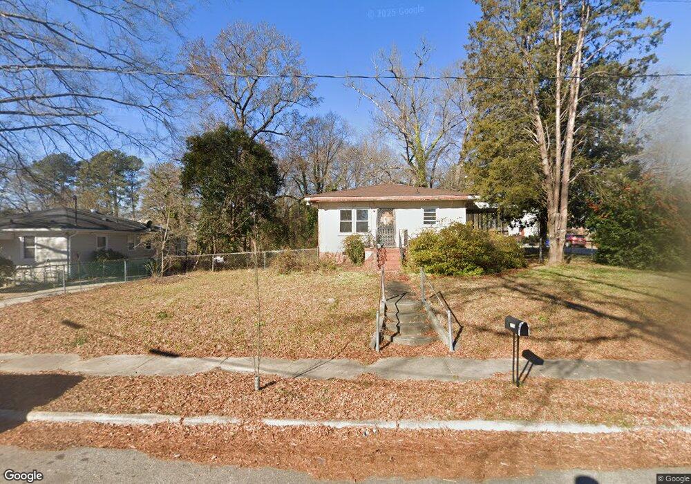
2552 Lane St Durham, NC 27707
Spaulding Community NeighborhoodEstimated Value: $100,000 - $462,000
Studio
--
Bath
--
Sq Ft
6,970
Sq Ft
About This Home
This home is located at 2552 Lane St, Durham, NC 27707 and is currently estimated at $290,333. 2552 Lane St is a home located in Durham County with nearby schools including Fayetteville Street Elementary School, James E. Shepard Middle School, and Hillside High School.
Ownership History
Date
Name
Owned For
Owner Type
Purchase Details
Closed on
Oct 28, 1999
Sold by
Jones Karen Elaine Mcnair and Jones Larry G
Bought by
Jones Larry G and Jones Karen Elaine Mcnair
Current Estimated Value
Home Financials for this Owner
Home Financials are based on the most recent Mortgage that was taken out on this home.
Original Mortgage
$68,340
Interest Rate
10.24%
Create a Home Valuation Report for This Property
The Home Valuation Report is an in-depth analysis detailing your home's value as well as a comparison with similar homes in the area
Home Values in the Area
Average Home Value in this Area
Purchase History
| Date | Buyer | Sale Price | Title Company |
|---|---|---|---|
| Jones Larry G | -- | -- |
Source: Public Records
Mortgage History
| Date | Status | Borrower | Loan Amount |
|---|---|---|---|
| Closed | Jones Larry G | $68,340 |
Source: Public Records
Tax History
| Year | Tax Paid | Tax Assessment Tax Assessment Total Assessment is a certain percentage of the fair market value that is determined by local assessors to be the total taxable value of land and additions on the property. | Land | Improvement |
|---|---|---|---|---|
| 2025 | $1,006 | $101,500 | $101,500 | $0 |
| 2024 | $365 | $26,145 | $26,145 | $0 |
| 2023 | $342 | $26,145 | $26,145 | $0 |
| 2022 | $335 | $26,145 | $26,145 | $0 |
| 2021 | $333 | $26,145 | $26,145 | $0 |
| 2020 | $325 | $26,145 | $26,145 | $0 |
| 2019 | $325 | $26,145 | $26,145 | $0 |
| 2018 | $236 | $17,430 | $17,430 | $0 |
| 2017 | $235 | $17,430 | $17,430 | $0 |
| 2016 | $227 | $17,430 | $17,430 | $0 |
| 2015 | $236 | $17,048 | $17,048 | $0 |
| 2014 | $236 | $17,048 | $17,048 | $0 |
Source: Public Records
Map
Nearby Homes
- 2510 Lane St
- 2617 Fayetteville St
- 2501 Anacosta St
- 1013 Forrestal Place
- 810 Corona St
- 1009 Forrestal Place
- 1005 Forrestal Place
- 400 Cecil St
- 2209 Concord St
- 1904 N Carolina 55
- 616 Homeland Ave
- 608 Hemlock Ave
- 606 Cecil St
- 604 Homeland Ave
- 2833 Wyeth Ave
- 2201 Otis St
- 134 Nelson St
- 2317 Curtis St
- 1518 Rosewood St
- 3323 Fayetteville St Unit A
- 2506 Lane St
- 2508 Lane St
- 521 Roosevelt St
- 2507 Lane St
- 2509 Lane St
- 2404 Lane St
- 2503 Lane St
- 2511 Lane St
- 2407 Lane St
- 518 Red Oak Ave
- 815 Red Oak Ave
- Lt 2 Red Oak Ave
- 0 Red Oak Ave
- 815 Red Oak Ave Unit 11
- 1006 Red Oak Ave
- 920 Red Oak Ave
- 517 Roosevelt St
- 526 Red Oak Ave
- 424 Red Oak Ave Unit 16
- 424 Red Oak Ave
Your Personal Tour Guide
Ask me questions while you tour the home.