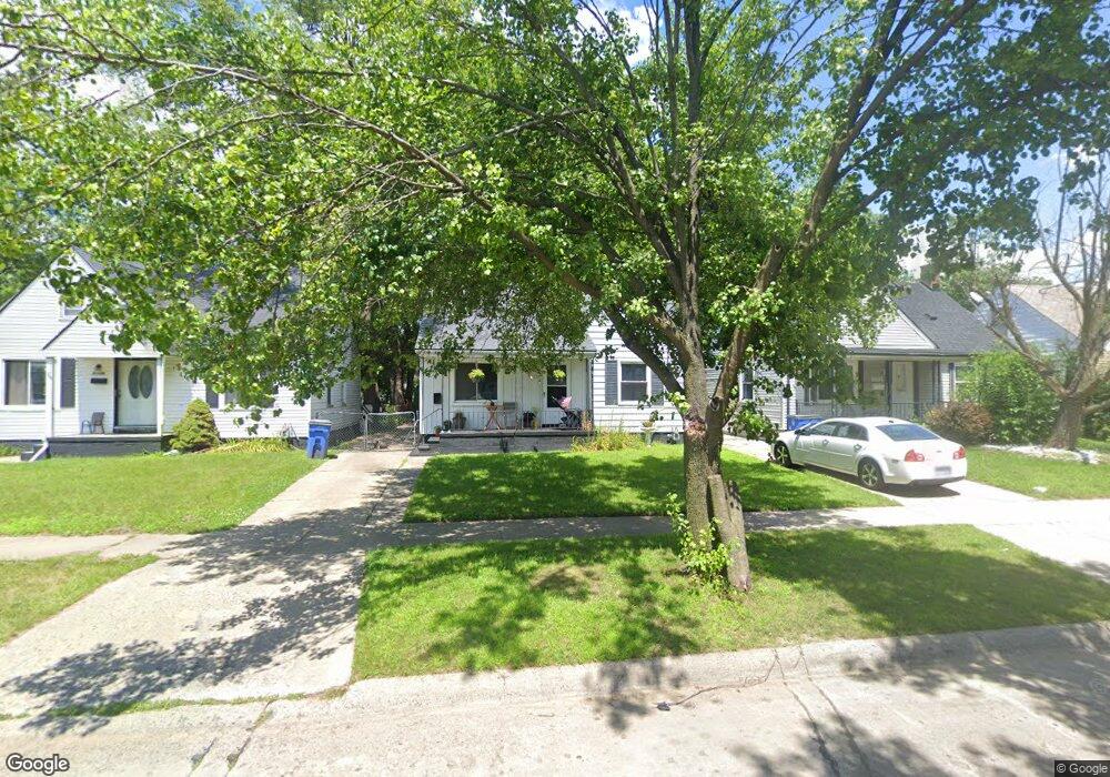
25520 Hopkins St Unit Bldg-Unit Dearborn Heights, MI 48125
Estimated Value: $146,000 - $159,000
3
Beds
1
Bath
882
Sq Ft
$173/Sq Ft
Est. Value
About This Home
This home is located at 25520 Hopkins St Unit Bldg-Unit, Dearborn Heights, MI 48125 and is currently estimated at $152,390, approximately $172 per square foot. 25520 Hopkins St Unit Bldg-Unit is a home located in Wayne County with nearby schools including West Village Academy, Quest Charter Academy, and Peterson-Warren Academy.
Ownership History
Date
Name
Owned For
Owner Type
Purchase Details
Closed on
Aug 2, 2012
Sold by
Bale Leonard and Evans Bale Carol
Bought by
Federal National Mortgage Association
Current Estimated Value
Purchase Details
Closed on
Feb 10, 2005
Sold by
Bale Leonard and Evans Bale Carol L
Bought by
Walker Tony
Purchase Details
Closed on
May 11, 2004
Sold by
Bale Leonard and Evans Bale Carol L
Bought by
Scalf Thomas
Purchase Details
Closed on
Nov 4, 2003
Sold by
Bale Leonard and Evans Bale Carol L
Bought by
Noble George
Create a Home Valuation Report for This Property
The Home Valuation Report is an in-depth analysis detailing your home's value as well as a comparison with similar homes in the area
Home Values in the Area
Average Home Value in this Area
Purchase History
| Date | Buyer | Sale Price | Title Company |
|---|---|---|---|
| Federal National Mortgage Association | $84,178 | None Available | |
| Walker Tony | -- | Colonial Title Co | |
| Scalf Thomas | -- | Colonial Title Co | |
| Noble George | -- | Colonial Title Co |
Source: Public Records
Tax History Compared to Growth
Tax History
| Year | Tax Paid | Tax Assessment Tax Assessment Total Assessment is a certain percentage of the fair market value that is determined by local assessors to be the total taxable value of land and additions on the property. | Land | Improvement |
|---|---|---|---|---|
| 2025 | $1,587 | $65,000 | $0 | $0 |
| 2024 | $1,587 | $54,100 | $0 | $0 |
| 2023 | $1,425 | $46,500 | $0 | $0 |
| 2022 | $1,957 | $39,700 | $0 | $0 |
| 2021 | $1,847 | $34,900 | $0 | $0 |
| 2019 | $1,826 | $27,300 | $0 | $0 |
| 2018 | $1,213 | $26,800 | $0 | $0 |
| 2017 | $1,129 | $25,900 | $0 | $0 |
| 2016 | $1,980 | $26,300 | $0 | $0 |
| 2015 | $2,440 | $24,400 | $0 | $0 |
| 2013 | $2,740 | $27,400 | $0 | $0 |
| 2010 | -- | $31,600 | $0 | $0 |
Source: Public Records
Map
Nearby Homes
- 25474 McDonald St
- 25243 Lehigh St
- 25719 Colgate St
- 25895 Annapolis St
- 25212 Lehigh St
- 5118 Michael St
- 25628 Powers Ave
- 25054 Annapolis St
- 25085 Colgate St
- 4856 Carolee Ln
- 25866 Andover St
- 4147 Westlake St
- 24727 Hopkins St
- 24706 Annapolis St
- 26106 Powers Ave
- 26004 Currier St
- 25965 Currier St
- 26225 McDonald St
- 26202 Colgate St
- 26231 Andover St
- 25520 Hopkins St
- 25512 Hopkins St
- 25528 Hopkins St
- 25536 Hopkins St
- 25504 Hopkins St
- 25476 Hopkins St Unit Bldg-Unit
- 25476 Hopkins St
- 25521 Lehigh St
- 25513 Lehigh St
- 25529 Lehigh St
- 25620 Hopkins St
- 25537 Lehigh St
- 25505 Lehigh St
- 25521 Hopkins St
- 25513 Hopkins St
- 25477 Lehigh St
- 25537 Hopkins St
- 25460 Hopkins St
- 25505 Hopkins St
- 25628 Hopkins St