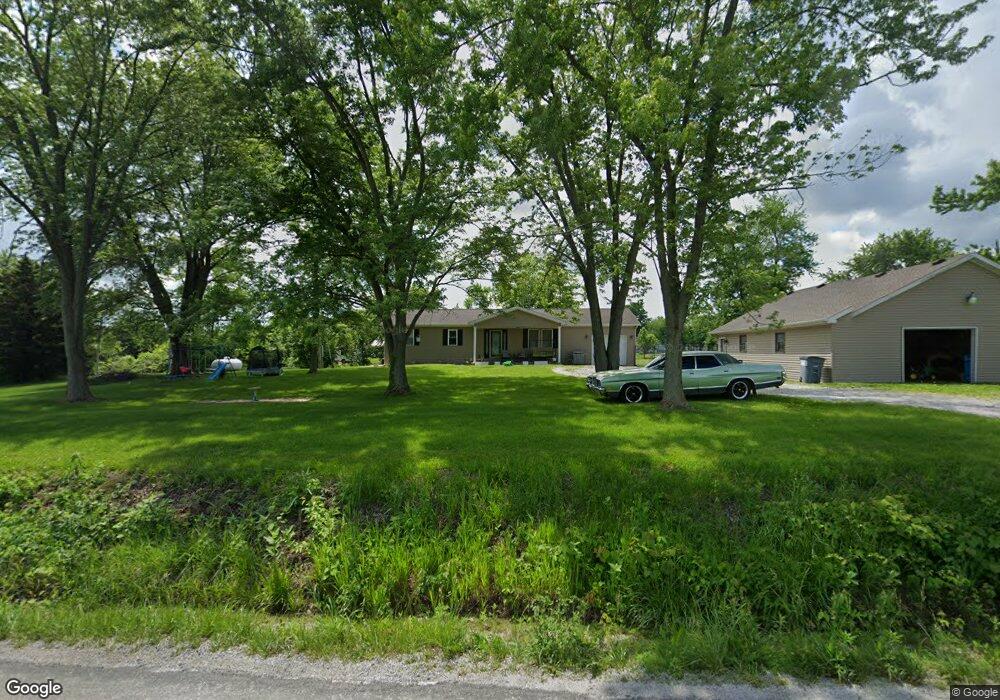
2553 Brown Rd Brighton, IL 62012
Estimated Value: $207,797 - $290,000
Studio
--
Bath
--
Sq Ft
64,469
Sq Ft Lot
About This Home
This home is located at 2553 Brown Rd, Brighton, IL 62012 and is currently estimated at $256,199. 2553 Brown Rd is a home with nearby schools including Southwestern High School.
Ownership History
Date
Name
Owned For
Owner Type
Purchase Details
Closed on
Oct 25, 2019
Sold by
Davis Gary A and Davis Rhoda D
Bought by
Kessinger Conner M and Kessinger Samantha L
Current Estimated Value
Home Financials for this Owner
Home Financials are based on the most recent Mortgage that was taken out on this home.
Original Mortgage
$127,415
Outstanding Balance
$112,137
Interest Rate
3.62%
Mortgage Type
New Conventional
Estimated Equity
$144,062
Purchase Details
Closed on
Sep 5, 1995
Bought by
Davis Gary A and Davis Rhoda D
Create a Home Valuation Report for This Property
The Home Valuation Report is an in-depth analysis detailing your home's value as well as a comparison with similar homes in the area
Purchase History
| Date | Buyer | Sale Price | Title Company |
|---|---|---|---|
| Kessinger Conner M | $150,000 | Prairie State Title & Escrow | |
| Davis Gary A | $39,000 | -- |
Source: Public Records
Mortgage History
| Date | Status | Borrower | Loan Amount |
|---|---|---|---|
| Open | Kessinger Conner M | $127,415 |
Source: Public Records
Tax History
| Year | Tax Paid | Tax Assessment Tax Assessment Total Assessment is a certain percentage of the fair market value that is determined by local assessors to be the total taxable value of land and additions on the property. | Land | Improvement |
|---|---|---|---|---|
| 2024 | $3,143 | $59,907 | $2,088 | $57,819 |
| 2023 | $3,052 | $55,469 | $1,933 | $53,536 |
| 2022 | $3,052 | $51,841 | $1,807 | $50,034 |
| 2021 | $2,854 | $54,450 | $1,689 | $52,761 |
| 2020 | $2,843 | $53,500 | $1,656 | $51,844 |
| 2019 | $3,186 | $44,811 | $1,562 | $43,249 |
| 2018 | $3,139 | $44,811 | $1,562 | $43,249 |
| 2017 | $2,897 | $42,036 | $1,465 | $40,571 |
| 2016 | $2,635 | $42,036 | $1,465 | $40,571 |
| 2015 | $2,740 | $42,036 | $1,465 | $40,571 |
| 2014 | $2,550 | $42,036 | $1,465 | $40,571 |
| 2013 | $2,491 | $42,036 | $1,465 | $40,571 |
Source: Public Records
Map
Nearby Homes
- 3305 Brown Rd
- 124 Evergreen Ct
- 203 Avalon St
- 107 Park St
- 0 E Brown Rd Unit MIS26019504
- 113 George St
- Tbd County Line Rd
- 207 South St
- Tbd County Line Rd
- 207 W Vine St
- Tbd County Line Rd
- 0 W County Line Rd Unit Tract 4
- 0 W County Line Rd Unit Tract 2
- 3495 Miles Station Rd
- 34150 Teakwood Place
- 3963 Gvillo Ln
- 8711 7 Hills Dr
- 34686 Gun Club Rd
- 4904 2nd St
- 0 Welling Ln Unit MAR25004522
- 2488 Blue Ridge Rd
- 2448 Blue Ridge Rd
- XXX Brown Rd
- 2611 Brown Rd
- 2430 Blue Ridge Rd
- 2538 Old Glory Ln
- 2416 Blue Ridge Rd
- 2588 Blue Ridge Rd
- 2588 Blue Ridge Rd
- 2402 Blue Ridge Rd
- 2558 Old Glory Ln
- 2378 Blue Ridge Rd
- 2351 Blue Ridge Rd
- 2582 Old Glory Ln
- 2352 Blue Ridge Rd
- 2688 Blue Ridge Rd
- 2334 Blue Ridge Rd
- 2690 Blue Ridge Rd
- 2770 Blue Ridge Rd
- 2740 Blue Ridge Rd
Your Personal Tour Guide
Ask me questions while you tour the home.