25536 E 191st St S Haskell, OK 74436
Estimated Value: $110,000 - $112,431
Studio
--
Bath
--
Sq Ft
2,986,474
Sq Ft Lot
About This Home
This home is located at 25536 E 191st St S, Haskell, OK 74436 and is currently estimated at $111,216. 25536 E 191st St S is a home located in Muskogee County with nearby schools including Donald P. Sloat Junior High School, Coweta High School, and Coweta Intermediate High School.
Ownership History
Date
Name
Owned For
Owner Type
Purchase Details
Closed on
Feb 5, 2021
Sold by
Mink Christopher and Mink Denise
Bought by
Mcclain Brent and Mcclain Stephanie
Current Estimated Value
Purchase Details
Closed on
Apr 15, 2010
Sold by
Neal Derrick
Bought by
Price Arthur G and Price Trudy A
Purchase Details
Closed on
Jan 22, 2010
Sold by
Neal Derrick and Neal Kathy
Bought by
Henry Rickey and Henry Suzanne
Purchase Details
Closed on
Aug 17, 2009
Sold by
Beal Bank Ssb
Bought by
Neal Derrick and Bow Phillip
Purchase Details
Closed on
Jul 8, 2008
Sold by
Rodgers Carl G
Bought by
Beal Bank Ssb
Purchase Details
Closed on
Apr 7, 1993
Sold by
Fousel Elwonda Trustee
Purchase Details
Closed on
Nov 27, 1991
Purchase Details
Closed on
Jan 14, 1991
Create a Home Valuation Report for This Property
The Home Valuation Report is an in-depth analysis detailing your home's value as well as a comparison with similar homes in the area
Purchase History
| Date | Buyer | Sale Price | Title Company |
|---|---|---|---|
| Mcclain Brent | $81,000 | None Available | |
| Price Arthur G | $175,000 | Oklahoma Reo Closing & Title | |
| Henry Rickey | $85,000 | Wagoner County Abstract Comp | |
| Neal Derrick | $190,500 | Oklahoma Reo Closing & Title | |
| Beal Bank Ssb | -- | None Available | |
| -- | -- | -- | |
| -- | -- | -- | |
| -- | -- | -- |
Source: Public Records
Tax History
| Year | Tax Paid | Tax Assessment Tax Assessment Total Assessment is a certain percentage of the fair market value that is determined by local assessors to be the total taxable value of land and additions on the property. | Land | Improvement |
|---|---|---|---|---|
| 2025 | $123 | $1,298 | $1,298 | $0 |
| 2024 | $122 | $1,298 | $1,298 | $0 |
| 2023 | $122 | $1,298 | $1,298 | $0 |
| 2022 | $131 | $1,298 | $1,298 | $0 |
| 2021 | $133 | $1,298 | $1,298 | $0 |
| 2020 | $130 | $1,298 | $1,298 | $0 |
| 2019 | $132 | $1,298 | $1,298 | $0 |
| 2018 | $135 | $1,298 | $1,298 | $0 |
| 2017 | $132 | $1,298 | $1,298 | $0 |
| 2016 | $133 | $1,298 | $1,298 | $0 |
| 2015 | -- | $1,431 | $1,431 | $0 |
| 2014 | -- | $1,389 | $1,389 | $0 |
Source: Public Records
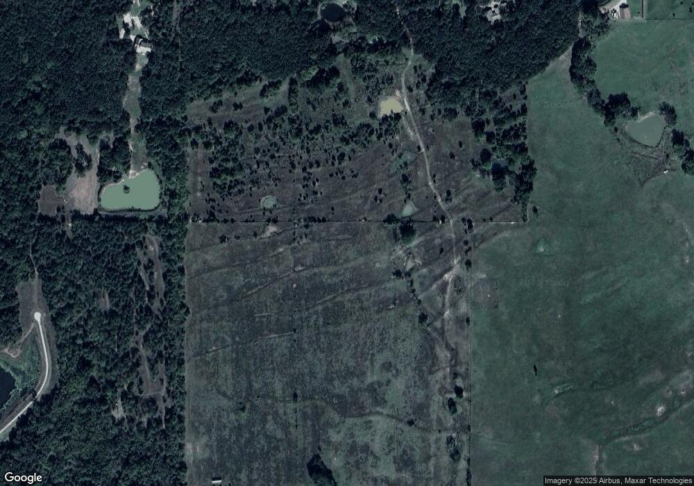
Map
Nearby Homes
- 25888 E 191st St S
- 27000 E 201st St S
- 7691 U S 64
- 0 S 221st East Ave
- 20172 US Highway 64
- 21665 E 186th St S
- 19018 Us Highway 64
- 25672 E 166th St S
- 18727 W Bunch Rd
- 0000 Bakers Rd
- 23574 E 161st St S
- 1104 N Scott Ave
- 26997 E 161st St S
- 0 W Duncan Road Haskell Ok Rd
- 1188 N Amelia Ln
- 1185 N Amelia Ln
- 1157 N Amelia Ln
- 1132 N Amelia Ln
- 1104 N Amelia Ln
- 1129 N Amelia Ln
- 25536 E 191 St S
- 25536 E 191st St S
- 19130 S 253rd East Ave
- 25676 E 191st St S
- 25368 E 191st St S
- 1589 N Highway 64
- 20808 W 30th St N
- 25677 E 191st St S
- 26042 E 191st St S
- 25010 E 191st St S
- 00082 E 191st St S
- 0009 E 191st St S
- 0001 E 191st St S
- 0006 E 191st St S
- 0008 E 191st St S
- 0004 E 191st St S
- 0003 E 191st St S
- 0005 E 191st St S
- 0002 E 191st St S
- 0007 E 191st St S
Your Personal Tour Guide
Ask me questions while you tour the home.