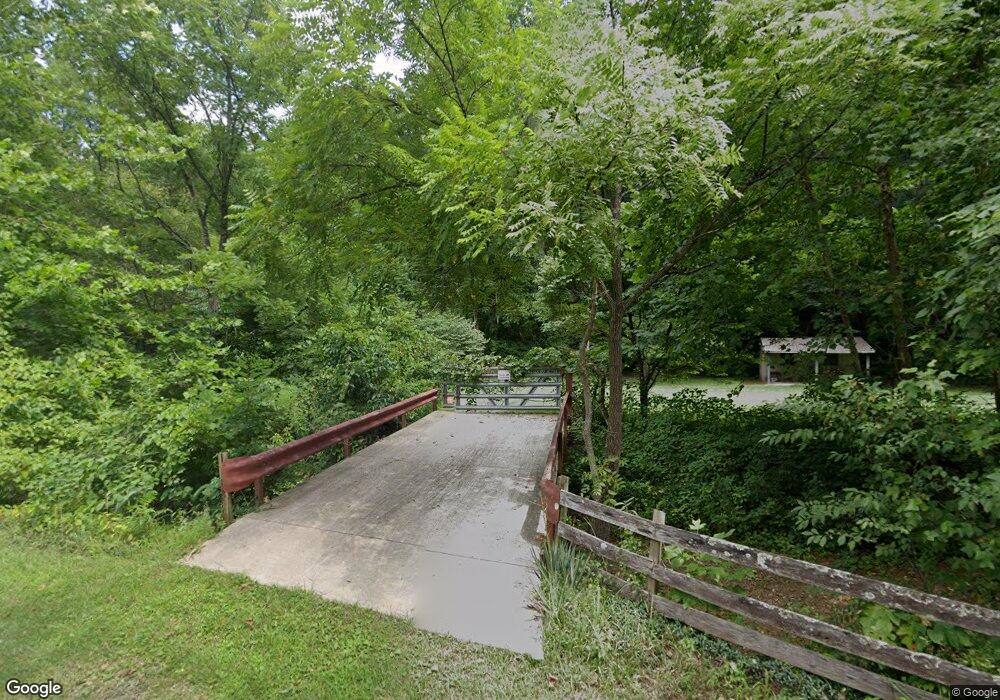
25548 E Fork Rd Laurelville, OH 43135
Estimated Value: $137,443 - $403,000
Studio
1
Bath
2,128
Sq Ft
$119/Sq Ft
Est. Value
About This Home
This home is located at 25548 E Fork Rd, Laurelville, OH 43135 and is currently estimated at $254,148, approximately $119 per square foot. 25548 E Fork Rd is a home located in Hocking County with nearby schools including Logan Elm High School.
Ownership History
Date
Name
Owned For
Owner Type
Purchase Details
Closed on
Jun 13, 2006
Sold by
Buckley Philip N and Buckley Mary Ellen
Bought by
Buckley Stephen H
Current Estimated Value
Purchase Details
Closed on
Jan 13, 2004
Bought by
Mills Brian T and 285 Freb Kristen W
Create a Home Valuation Report for This Property
The Home Valuation Report is an in-depth analysis detailing your home's value as well as a comparison with similar homes in the area
Purchase History
| Date | Buyer | Sale Price | Title Company |
|---|---|---|---|
| Buckley Stephen H | -- | None Available | |
| Mills Brian T | $57,500 | -- |
Source: Public Records
Tax History
| Year | Tax Paid | Tax Assessment Tax Assessment Total Assessment is a certain percentage of the fair market value that is determined by local assessors to be the total taxable value of land and additions on the property. | Land | Improvement |
|---|---|---|---|---|
| 2024 | $1,204 | $26,320 | $9,260 | $17,060 |
| 2023 | $1,082 | $26,320 | $9,260 | $17,060 |
| 2022 | $1,121 | $26,320 | $9,260 | $17,060 |
| 2021 | $993 | $21,310 | $7,410 | $13,900 |
| 2020 | $1,003 | $21,310 | $7,410 | $13,900 |
| 2019 | $1,007 | $21,310 | $7,410 | $13,900 |
| 2018 | $893 | $18,220 | $5,080 | $13,140 |
| 2017 | $726 | $18,220 | $5,080 | $13,140 |
| 2016 | $717 | $18,220 | $5,080 | $13,140 |
| 2015 | $777 | $19,490 | $5,410 | $14,080 |
| 2014 | $777 | $19,490 | $5,410 | $14,080 |
| 2013 | $785 | $19,490 | $5,410 | $14,080 |
Source: Public Records
Map
Nearby Homes
- 0 E Fork Rd
- 24796 E Fork Rd
- 0 Bellia Rd
- 23584 Conrad Rd
- 23858 State Route 327
- 25602 Narrows Rd
- 24272 Conrad Rd
- 28573 Ohio 327
- 22916 Sams Creek Rd
- 0 Sam's Creek Rd Unit 225006076
- 4 Sams Creek Rd
- 56953 Mills Rd
- 30129 Steven Branch Rd
- 29225 Gearing Ridge Rd
- 21401 State Route 327
- 17452 State Route 327
- 17452 Ohio 327
- 57488 Walnut Grove Rd
- 31382 Stevens Branch Rd
- 22997 Goose Creek Rd
- 25661 E Fork Rd
- 25672 E Fork Rd
- 26365 E Fork Rd
- 26445 E Fork Rd
- 25834 E Fork Rd
- 25241 E Fork Rd
- 25295 E Fork Rd
- 26870 E Fork Rd
- 25141 E Fork Rd
- 24951 E Fork Rd
- 0 Arledge Rd Unit 9922537
- 0 Arledge Rd Unit 219023200
- 26316 E Tr 12 Rd
- 24757 E Fork Rd
- 24762 E Fork Rd
- 24731 E Fork Rd
- 0 Township Highway 12
- 24705 E Fork Rd
Your Personal Tour Guide
Ask me questions while you tour the home.
