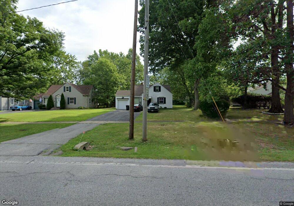
2555 Belvoir Blvd South Euclid, OH 44121
Euclid-Green NeighborhoodEstimated Value: $138,308 - $189,000
3
Beds
2
Baths
1,347
Sq Ft
$118/Sq Ft
Est. Value
About This Home
This home is located at 2555 Belvoir Blvd, South Euclid, OH 44121 and is currently estimated at $159,327, approximately $118 per square foot. 2555 Belvoir Blvd is a home located in Cuyahoga County with nearby schools including Bolton, Adlai Stevenson School, and Anton Grdina School.
Ownership History
Date
Name
Owned For
Owner Type
Purchase Details
Closed on
Nov 9, 2011
Sold by
Lynnhaven Development Group Llc
Bought by
Thomas Harold P
Current Estimated Value
Home Financials for this Owner
Home Financials are based on the most recent Mortgage that was taken out on this home.
Original Mortgage
$83,729
Outstanding Balance
$58,401
Interest Rate
4.5%
Mortgage Type
FHA
Estimated Equity
$100,926
Purchase Details
Closed on
Feb 1, 2010
Sold by
City Development Corporation
Bought by
Lynnhaven Development Group Llc
Purchase Details
Closed on
Jan 19, 2010
Sold by
Perkins Reginald A and Perkins Brenda J
Bought by
City Development Corporation
Purchase Details
Closed on
Aug 15, 1986
Sold by
Wisokay John M and Wisokay Alice A
Bought by
Perkins Reginald A
Purchase Details
Closed on
Jan 1, 1975
Bought by
Wisokay John M and Wisokay Alice A
Create a Home Valuation Report for This Property
The Home Valuation Report is an in-depth analysis detailing your home's value as well as a comparison with similar homes in the area
Home Values in the Area
Average Home Value in this Area
Purchase History
| Date | Buyer | Sale Price | Title Company |
|---|---|---|---|
| Thomas Harold P | $115,000 | Equity Title Agency | |
| Lynnhaven Development Group Llc | $19,000 | Barristers Title Agency | |
| City Development Corporation | $12,500 | Title Experts Agency Inc | |
| Perkins Reginald A | $27,000 | -- | |
| Wisokay John M | -- | -- |
Source: Public Records
Mortgage History
| Date | Status | Borrower | Loan Amount |
|---|---|---|---|
| Open | Thomas Harold P | $83,729 |
Source: Public Records
Tax History Compared to Growth
Tax History
| Year | Tax Paid | Tax Assessment Tax Assessment Total Assessment is a certain percentage of the fair market value that is determined by local assessors to be the total taxable value of land and additions on the property. | Land | Improvement |
|---|---|---|---|---|
| 2024 | $1,097 | $26,530 | $4,760 | $21,770 |
| 2023 | $340 | $13,650 | $2,870 | $10,780 |
| 2022 | $370 | $13,650 | $2,870 | $10,780 |
| 2021 | $366 | $13,650 | $2,870 | $10,780 |
| 2020 | $227 | $11,380 | $2,380 | $9,000 |
| 2019 | $210 | $32,500 | $6,800 | $25,700 |
| 2018 | $195 | $11,380 | $2,380 | $9,000 |
| 2017 | $182 | $10,960 | $1,890 | $9,070 |
| 2016 | $181 | $10,960 | $1,890 | $9,070 |
| 2015 | $210 | $10,960 | $1,890 | $9,070 |
| 2014 | $210 | $11,310 | $1,960 | $9,350 |
Source: Public Records
Map
Nearby Homes
- 2536 Greenvale Rd
- 2545 Greenvale Rd
- 4031 Suffolk Rd
- 3803 Bridgeview Dr
- 3927 Princeton Blvd
- 2110 Miami Rd
- 693 Quilliams Rd
- 3811 Salisbury Rd
- 3867 Covington Rd
- 2017 Natona Rd
- 18132 Weston Rd
- 4188 Glenridge Rd
- 772 Quilliams Rd
- 854 Keystone Dr
- 857 Quarry Dr
- 855 Roanoke Rd
- 3595 Runnymede Blvd
- 858 Roanoke Rd
- 3655 Langton Rd
- 3780 Lowell Rd
- 2551 Belvoir Blvd
- 3921 Lancaster Rd
- 2547 Belvoir Blvd
- 3929 Lancaster Rd
- 2570 Greenvale Rd
- 2566 Greenvale Rd
- 2560 Greenvale Rd
- 2574 Greenvale Rd
- 3937 Lancaster Rd
- 2543 Belvoir Blvd
- 2556 Greenvale Rd
- 2554 Greenvale Rd
- 2552 Greenvale Rd
- 2539 Belvoir Blvd
- 3945 Lancaster Rd
- 2552 Belvoir Blvd
- 2550 Greenvale Rd
- 3920 Lancaster Rd
- 2535 Belvoir Blvd
- 122 S Belvoir Blvd