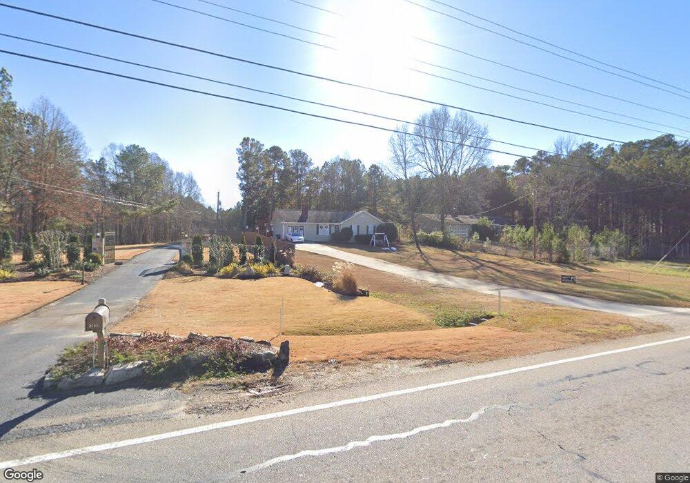
2555 Braselton Hwy Buford, GA 30519
Estimated Value: $330,000 - $377,000
3
Beds
2
Baths
1,568
Sq Ft
$224/Sq Ft
Est. Value
About This Home
This home is located at 2555 Braselton Hwy, Buford, GA 30519 and is currently estimated at $351,994, approximately $224 per square foot. 2555 Braselton Hwy is a home located in Gwinnett County with nearby schools including Freeman's Mill Elementary School, Twin Rivers Middle School, and Mountain View High School.
Ownership History
Date
Name
Owned For
Owner Type
Purchase Details
Closed on
Jul 31, 2009
Sold by
Deutsche Bank 2006Qs4
Bought by
Tzou Ben D and Tzou Stephanie
Current Estimated Value
Purchase Details
Closed on
Mar 3, 2009
Sold by
Corum Ruth D
Bought by
Deutsche Bank Rali 2006Qs4
Purchase Details
Closed on
Feb 1, 2006
Sold by
Brooks Robert N
Bought by
Corum Ruth D
Home Financials for this Owner
Home Financials are based on the most recent Mortgage that was taken out on this home.
Original Mortgage
$135,000
Interest Rate
6.21%
Mortgage Type
New Conventional
Create a Home Valuation Report for This Property
The Home Valuation Report is an in-depth analysis detailing your home's value as well as a comparison with similar homes in the area
Home Values in the Area
Average Home Value in this Area
Purchase History
| Date | Buyer | Sale Price | Title Company |
|---|---|---|---|
| Tzou Ben D | $89,800 | -- | |
| Deutsche Bank Rali 2006Qs4 | $69,248 | -- | |
| Corum Ruth D | $175,000 | -- |
Source: Public Records
Mortgage History
| Date | Status | Borrower | Loan Amount |
|---|---|---|---|
| Previous Owner | Corum Ruth D | $135,000 |
Source: Public Records
Tax History Compared to Growth
Tax History
| Year | Tax Paid | Tax Assessment Tax Assessment Total Assessment is a certain percentage of the fair market value that is determined by local assessors to be the total taxable value of land and additions on the property. | Land | Improvement |
|---|---|---|---|---|
| 2025 | $3,659 | $94,800 | $24,000 | $70,800 |
| 2024 | -- | $94,800 | $24,000 | $70,800 |
| 2023 | $3,724 | $94,800 | $24,000 | $70,800 |
| 2022 | $2,843 | $69,920 | $14,000 | $55,920 |
| 2021 | $2,843 | $69,920 | $14,000 | $55,920 |
| 2020 | $2,467 | $69,920 | $14,000 | $55,920 |
| 2019 | $1,888 | $59,160 | $10,000 | $49,160 |
| 2018 | $2,381 | $59,160 | $10,000 | $49,160 |
| 2016 | $1,872 | $44,120 | $10,000 | $34,120 |
| 2015 | $1,893 | $44,120 | $10,000 | $34,120 |
| 2014 | $1,224 | $25,120 | $8,000 | $17,120 |
Source: Public Records
Map
Nearby Homes
- 2585 Braselton Hwy
- 2439 Canter Brook Ct Unit 1
- 0 Hog Mountain Church Road and Auburn Rd
- 2045 Amber Creek Dr
- 2431 Lance Ridge Way
- 2375 Matlin Way
- 2228 Lakeview Bend Way
- 2346 Hampton Park Dr Unit I
- 2032 Shin Ct NE
- 1603 Fort Perry Way
- 1827 Scouts Walk
- 2305 Braselton Hwy
- 2425 Fort Daniels Dr Unit 3A
- 2706 Captain Ct
- 2985 Ashton Pointe Cir
- 1720 Fort Daniels Trail
- 2955 Windsong Park Ln Unit 1
- 2970 Waverly Place Dr
- 2545 Braselton Hwy
- 2001 Dennis Place
- 2505 Braselton Hwy
- 2565 Braselton Hwy
- 2011 Dennis Place
- 2504 Braselton Hwy
- 2021 Dennis Place
- 2693 Braselton Hwy
- 2494 Braselton Hwy
- 2020 Dennis Place
- 0 Dennis Place Unit 9073972
- 0 Dennis Place Unit 3258161
- 0 Dennis Place Unit 7085793
- 0 Dennis Place Unit 7249007
- 0 Dennis Place
- 1890 Oak Wind Ln
- 2484 Braselton Hwy
- 2495 Luke Ct
- 1917 Pierce Way
- 1907 Pierce Way