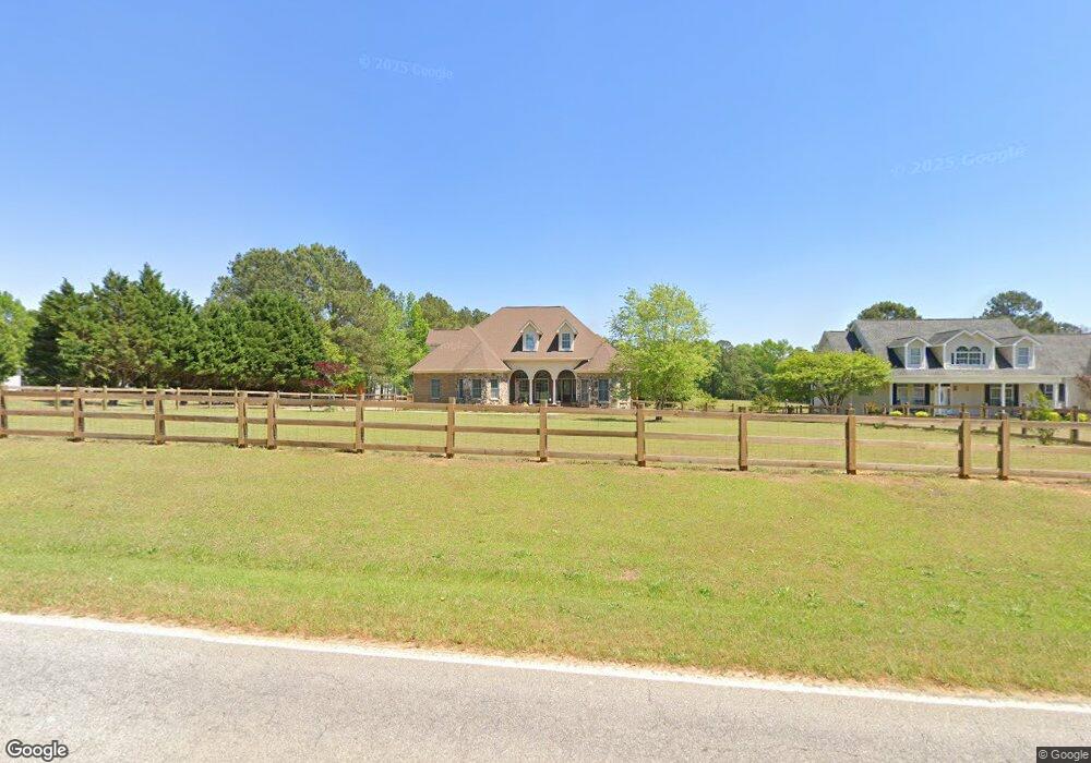
2555 Federal Rd Benson, NC 27504
Elevation NeighborhoodEstimated Value: $497,000 - $717,692
3
Beds
4
Baths
3,352
Sq Ft
$186/Sq Ft
Est. Value
About This Home
This home is located at 2555 Federal Rd, Benson, NC 27504 and is currently estimated at $621,923, approximately $185 per square foot. 2555 Federal Rd is a home located in Johnston County with nearby schools including Four Oaks Elementary School, Four Oaks Middle School, and South Johnston High School.
Ownership History
Date
Name
Owned For
Owner Type
Purchase Details
Closed on
Aug 24, 2015
Sold by
Lucas Roger Lee and Lucas Jan W
Bought by
Lucas Roger Lee and Lucas Jan W
Current Estimated Value
Purchase Details
Closed on
Dec 10, 2007
Sold by
Lucas Roger Lee and Lucas Jan W
Bought by
Thomas Barry E and Thomas Amber Lucas
Purchase Details
Closed on
Apr 21, 2005
Sold by
Lucas Roger Lee and Lucas Jan W
Bought by
Thomas Barry E and Thomas Amber Lucas
Create a Home Valuation Report for This Property
The Home Valuation Report is an in-depth analysis detailing your home's value as well as a comparison with similar homes in the area
Home Values in the Area
Average Home Value in this Area
Purchase History
| Date | Buyer | Sale Price | Title Company |
|---|---|---|---|
| Lucas Roger Lee | -- | None Available | |
| Thomas Barry E | -- | None Available | |
| Thomas Barry E | -- | None Available |
Source: Public Records
Tax History Compared to Growth
Tax History
| Year | Tax Paid | Tax Assessment Tax Assessment Total Assessment is a certain percentage of the fair market value that is determined by local assessors to be the total taxable value of land and additions on the property. | Land | Improvement |
|---|---|---|---|---|
| 2025 | $4,731 | $745,020 | $104,840 | $640,180 |
| 2024 | $3,658 | $451,640 | $49,750 | $401,890 |
| 2023 | $3,303 | $418,040 | $49,750 | $368,290 |
| 2022 | $3,470 | $418,040 | $49,750 | $368,290 |
| 2021 | $3,470 | $418,040 | $49,750 | $368,290 |
| 2020 | $3,595 | $418,040 | $49,750 | $368,290 |
| 2019 | $3,595 | $418,040 | $49,750 | $368,290 |
| 2018 | $3,397 | $386,070 | $42,890 | $343,180 |
| 2017 | $3,397 | $386,070 | $42,890 | $343,180 |
| 2016 | $3,397 | $386,070 | $42,890 | $343,180 |
| 2015 | $3,380 | $384,130 | $40,950 | $343,180 |
| 2014 | -- | $384,130 | $40,950 | $343,180 |
Source: Public Records
Map
Nearby Homes
- 749 Sherrill Farm Dr
- 130 Tulipfield Way
- 172 Tulipfield Way
- 782 Sherrill Farm Dr
- 776 Shadetree Rd
- 6457 Elevation Rd
- 6391 Elevation Rd
- 332 Magnolia Run Way
- 275 Magnolia Run Way
- 223 Magnolia Run Way
- 193 Magnolia Run Way
- 175 Magnolia Run Way
- 37 Gardenia Ct
- 261 Kissington Way
- 243 Kissington Way
- 87 Sun Meadow Cir
- 200 Kissington Way
- 193 Kissington Way
- 184 Kissington Way
- 99 Mapledale Ct
- 2575 Federal Rd
- 2517 Federal Rd
- 2601 Federal Rd
- 2520 Federal Rd
- 2682 Federal Rd
- 2508 Federal Rd
- 2645 Federal Rd
- 2635 Federal Rd
- 2383 Federal Rd
- 2500 Federal Rd
- 2690 Federal Rd
- 2502 Federal Rd
- 347 Rocky Creek Ln
- 2359 Federal Rd
- 2722 Federal Rd
- 2407 Federal Rd
- 357 Rocky Creek Ln
- 2743 Federal Rd
- 356 Rocky Creek Ln
- 2409 Federal Rd