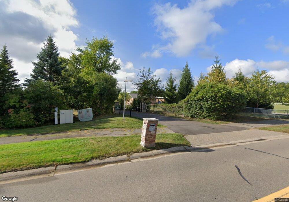
2555 Lone Pine Rd West Bloomfield, MI 48323
Estimated Value: $2,067,000 - $3,132,885
7
Beds
8
Baths
5,761
Sq Ft
$451/Sq Ft
Est. Value
About This Home
This home is located at 2555 Lone Pine Rd, West Bloomfield, MI 48323 and is currently estimated at $2,599,943, approximately $451 per square foot. 2555 Lone Pine Rd is a home located in Oakland County with nearby schools including West Hills Middle School, Bloomfield Hills High School, and Brookfield Academy - West Bloomfield Campus.
Ownership History
Date
Name
Owned For
Owner Type
Purchase Details
Closed on
Jun 29, 2011
Sold by
Kazor Christopher and Kazor Amy
Bought by
Al Hadidi Samir and Al Hadidi Janet
Current Estimated Value
Purchase Details
Closed on
Aug 25, 2006
Sold by
Toma Raad J and Toma Nidhal Y
Bought by
Kazor Christopher
Purchase Details
Closed on
Apr 29, 1999
Sold by
Freund Richard A
Bought by
Toma Raad J
Home Financials for this Owner
Home Financials are based on the most recent Mortgage that was taken out on this home.
Original Mortgage
$880,000
Interest Rate
7.15%
Create a Home Valuation Report for This Property
The Home Valuation Report is an in-depth analysis detailing your home's value as well as a comparison with similar homes in the area
Home Values in the Area
Average Home Value in this Area
Purchase History
| Date | Buyer | Sale Price | Title Company |
|---|---|---|---|
| Al Hadidi Samir | -- | None Available | |
| Kazor Christopher | -- | Multiple | |
| Toma Raad J | -- | -- |
Source: Public Records
Mortgage History
| Date | Status | Borrower | Loan Amount |
|---|---|---|---|
| Previous Owner | Toma Raad J | $880,000 |
Source: Public Records
Tax History Compared to Growth
Tax History
| Year | Tax Paid | Tax Assessment Tax Assessment Total Assessment is a certain percentage of the fair market value that is determined by local assessors to be the total taxable value of land and additions on the property. | Land | Improvement |
|---|---|---|---|---|
| 2024 | $32,831 | $1,927,160 | $0 | $0 |
| 2022 | $31,771 | $1,733,180 | $408,830 | $1,324,350 |
| 2021 | $58,588 | $1,548,780 | $0 | $0 |
| 2020 | $30,171 | $1,763,720 | $408,830 | $1,354,890 |
| 2018 | $57,178 | $1,684,190 | $367,950 | $1,316,240 |
| 2015 | -- | $1,941,760 | $0 | $0 |
| 2014 | -- | $1,624,980 | $0 | $0 |
| 2011 | -- | $1,578,290 | $0 | $0 |
Source: Public Records
Map
Nearby Homes
- 4724 Tara Ct
- 4768 Wendrick Dr
- 4710 Cove Rd
- 2433 Wickfield Rd
- 4670 Cove Rd
- 4641 Cove Rd
- 0000 Putnam Dr
- 3075 Bloomfield Park Dr
- 2460 Turner St
- 1907 Raymond Place
- 5118 Vincennes Ct
- 4274 Wendell Rd
- 5620 Eastman Blvd
- 3142 Bloomfield Shore Dr
- 5620 Inkster Rd
- 4941 Fairway Ridge Cir
- 3104 Spring St
- 1992 Bent Tree Trail
- 4297 Wabeek Lake Dr S Unit 26
- 0 Wendell Rd Unit 20250033815